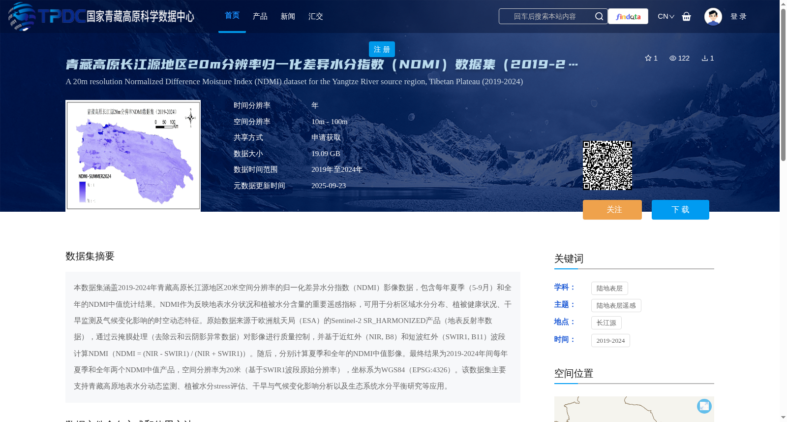
青藏高原长江源地区20m分辨率归一化差异水分指数(NDMI)数据集(2019-2024
收藏国家青藏高原科学数据中心2025-09-23 更新2025-10-25 收录
下载链接:
https://data.tpdc.ac.cn/zh-hans/data/bdf7449b-08f6-4967-8663-a4bba4d0d94a
下载链接
链接失效反馈官方服务:
资源简介:
本数据集涵盖2019-2024年青藏高原长江源地区20米空间分辨率的归一化差异水分指数(NDMI)影像数据,包含每年夏季(5-9月)和全年的NDMI中值统计结果。NDMI作为反映地表水分状况和植被水分含量的重要遥感指标,可用于分析区域水分分布、植被健康状况、干旱监测及气候变化影响的时空动态特征。原始数据来源于欧洲航天局(ESA)的Sentinel-2 SR_HARMONIZED产品(地表反射率数据),通过云掩膜处理(去除云和云阴影异常数据)对影像进行质量控制,并基于近红外(NIR, B8)和短波红外(SWIR1, B11)波段计算NDMI(NDMI = (NIR - SWIR1) / (NIR + SWIR1))。随后,分别计算夏季和全年的NDMI中值影像。最终结果为2019-2024年间每年夏季和全年两个NDMI中值产品,空间分辨率为20米(基于SWIR1波段原始分辨率),坐标系为WGS84(EPSG:4326)。该数据集主要支持青藏高原地表水分动态监测、植被水分stress评估、干旱与气候变化影响分析以及生态系统水分平衡研究等应用。
This dataset provides Normalized Difference Moisture Index (NDMI) image data with 20-meter spatial resolution covering the Yangtze River Source Region of the Qinghai-Tibet Plateau from 2019 to 2024, including annual summer (May–September) and annual median NDMI statistical results. As an important remote sensing indicator reflecting surface moisture status and vegetation water content, NDMI can be used to analyze the spatiotemporal dynamic characteristics of regional water distribution, vegetation health, drought monitoring and the impacts of climate change. The original data is derived from the Sentinel-2 SR_HARMONIZED product (surface reflectance data) of the European Space Agency (ESA). Quality control of the images was conducted via cloud masking, which removes abnormal data including clouds and cloud shadows. NDMI was calculated using the formula NDMI = (NIR - SWIR1) / (NIR + SWIR1) based on the near-infrared (NIR, B8) and shortwave infrared (SWIR1, B11) bands. Subsequently, median NDMI images for summer and the full year were computed separately. The final dataset includes two NDMI median products per year (one for summer and one for the entire year) from 2019 to 2024, with a spatial resolution of 20 meters (consistent with the original resolution of the SWIR1 band) and the coordinate system WGS84 (EPSG:4326). This dataset primarily supports applications such as dynamic surface moisture monitoring over the Qinghai-Tibet Plateau, vegetation water stress assessment, analysis of drought and climate change impacts, and research on ecosystem water balance.
提供机构:
曾韬睿,韩风雷,喻文兵
创建时间:
2025-09-22
搜集汇总
数据集介绍
背景与挑战
背景概述
该数据集提供了2019-2024年青藏高原长江源地区20米分辨率的NDMI数据,包含每年夏季和全年的中值统计,适用于水分分布、植被健康和气候变化研究。数据来源于Sentinel-2,经过质量控制,支持多种生态和气候应用。
以上内容由遇见数据集搜集并总结生成


