河湟谷地典耕地土壤重金属含量数据集(2020)
收藏国家青藏高原科学数据中心2025-04-14 更新2025-04-19 收录
下载链接:
https://data.tpdc.ac.cn/zh-hans/data/2a445b1c-d09d-421e-8c43-25ffcf4ed6c4
下载链接
链接失效反馈官方服务:
资源简介:
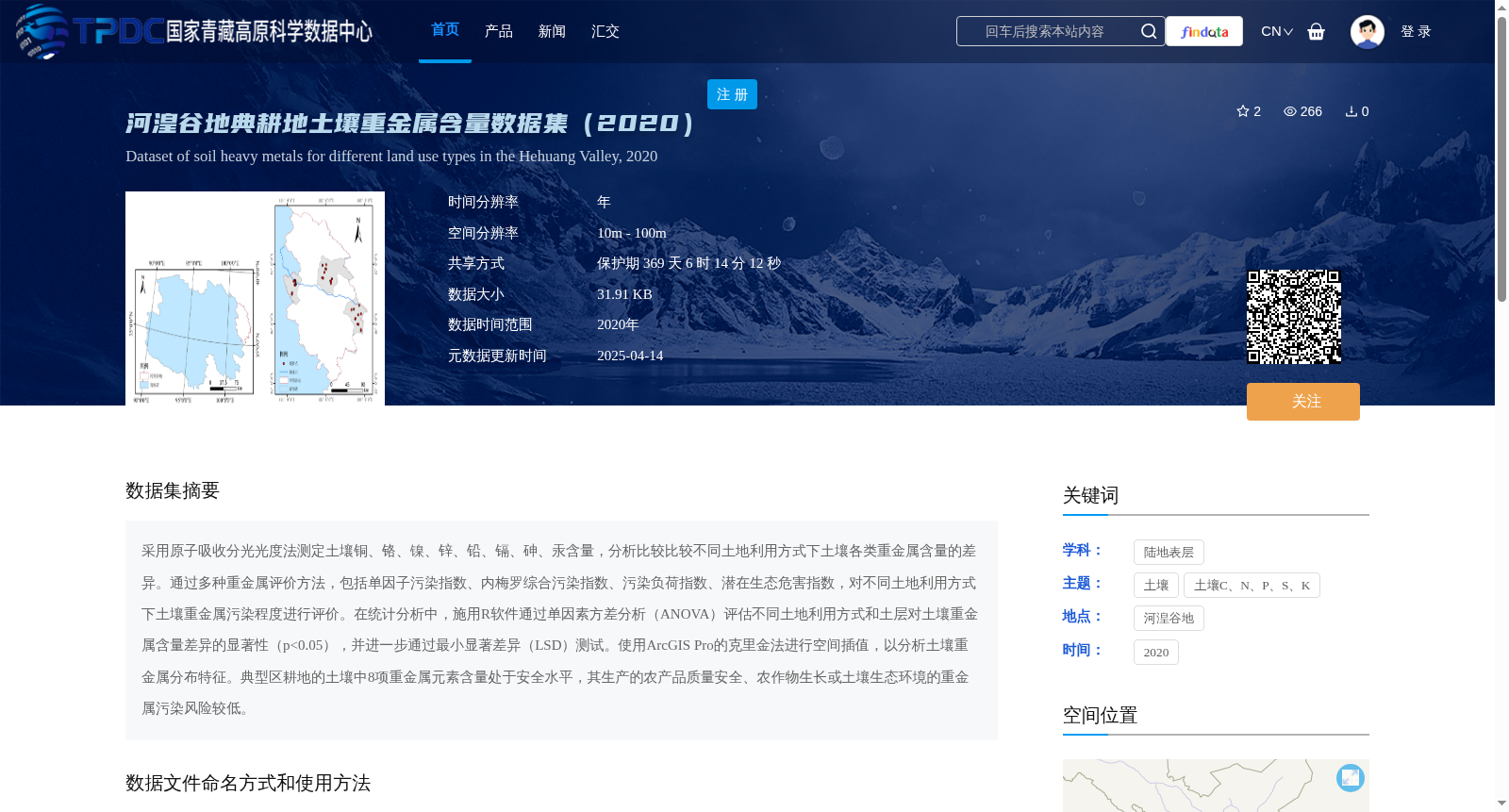
采用原子吸收分光光度法测定土壤铜、铬、镍、锌、铅、镉、砷、汞含量,分析比较比较不同土地利用方式下土壤各类重金属含量的差异。通过多种重金属评价方法,包括单因子污染指数、内梅罗综合污染指数、污染负荷指数、潜在生态危害指数,对不同土地利用方式下土壤重金属污染程度进行评价。在统计分析中,施用R软件通过单因素方差分析(ANOVA)评估不同土地利用方式和土层对土壤重金属含量差异的显著性(p<0.05),并进一步通过最小显著差异(LSD)测试。使用ArcGIS Pro的克里金法进行空间插值,以分析土壤重金属分布特征。典型区耕地的土壤中8项重金属元素含量处于安全水平,其生产的农产品质量安全、农作物生长或土壤生态环境的重金属污染风险较低。
Atomic Absorption Spectrophotometry (AAS) was used to determine the concentrations of copper (Cu), chromium (Cr), nickel (Ni), zinc (Zn), lead (Pb), cadmium (Cd), arsenic (As) and mercury (Hg) in soil samples. Differences in soil heavy metal contents under various land use patterns were analyzed and compared. Subsequently, the heavy metal pollution degrees of soils under different land use patterns were evaluated via multiple heavy metal assessment methods, including the Single-factor Pollution Index, Nemerow Integrated Pollution Index, Pollution Load Index (PLI), and Potential Ecological Risk Index (PERI). For statistical analysis, R software was applied to perform one-way analysis of variance (ANOVA) to assess the significance of differences in soil heavy metal concentrations caused by different land use patterns and soil layers (p<0.05), followed by the Least Significant Difference (LSD) post-hoc test. Spatial interpolation was conducted using the Kriging method in ArcGIS Pro to analyze the spatial distribution characteristics of soil heavy metals. For the cultivated land in the typical study area, the concentrations of the eight heavy metal elements in the soil are at safe levels, with low risks of heavy metal pollution to the quality of produced agricultural products, crop growth, and the soil ecological environment.
提供机构:
安韶山
创建时间:
2025-02-07
搜集汇总
数据集介绍
背景与挑战
背景概述
该数据集提供了2020年河湟谷地典型耕地土壤中8种重金属(铜、铬、镍、锌、铅、镉、砷、汞)的含量数据,通过多种评价方法分析了不同土地利用方式下的重金属污染程度。数据采用原子吸收分光光度法测定,结果显示该地区土壤重金属含量处于安全水平,农产品质量和土壤生态环境风险较低。
以上内容由遇见数据集搜集并总结生成


