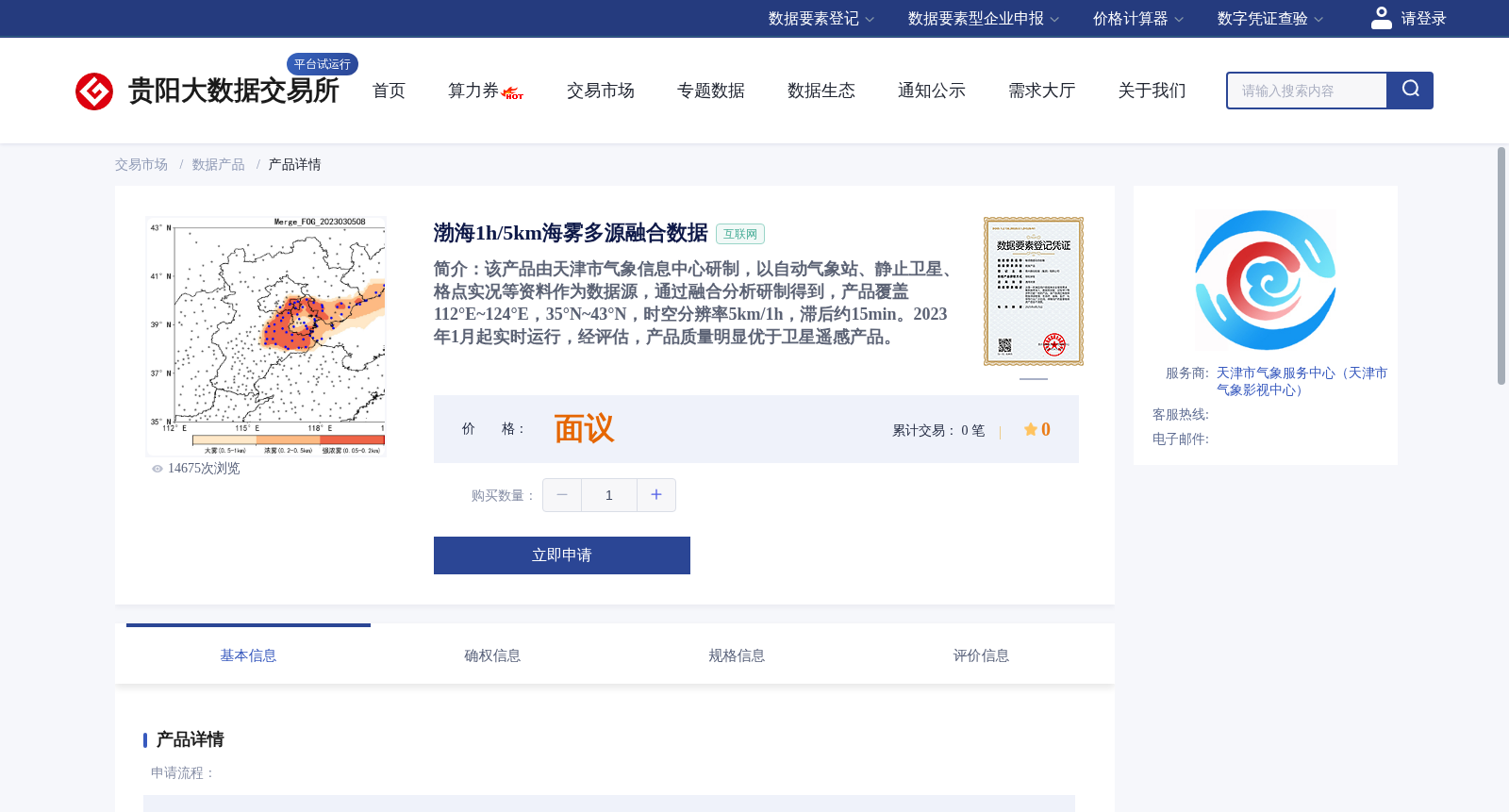
渤海1h/5km海雾多源融合数据
收藏资源简介:
该产品由天津市气象信息中心研制,以自动气象站、静止卫星、格点实况等资料作为数据源,通过融合分析研制得到,产品覆盖112°E~124°E,35°N~43°N,时空分辨率5km/1h,滞后约15min。2023年1月起实时运行,经评估,产品质量明显优于卫星遥感产品。
This product was developed by the Tianjin Meteorological Information Center. It is generated through integrated analysis using multiple data sources including automatic weather stations, geostationary satellites, and gridded in-situ observational data. The product covers a geographic area spanning 112°E to 124°E and 35°N to 43°N, with a spatial resolution of 5 km, temporal resolution of 1 hour, and a latency of approximately 15 minutes. It has been operating in real-time since January 2023. Evaluations have demonstrated that the quality of this product is significantly better than that of satellite remote sensing products.