mnist(MNIST, FashionMNIST, EMNIST)|图像识别数据集|机器学习数据集
收藏数据集概述
数据集名称
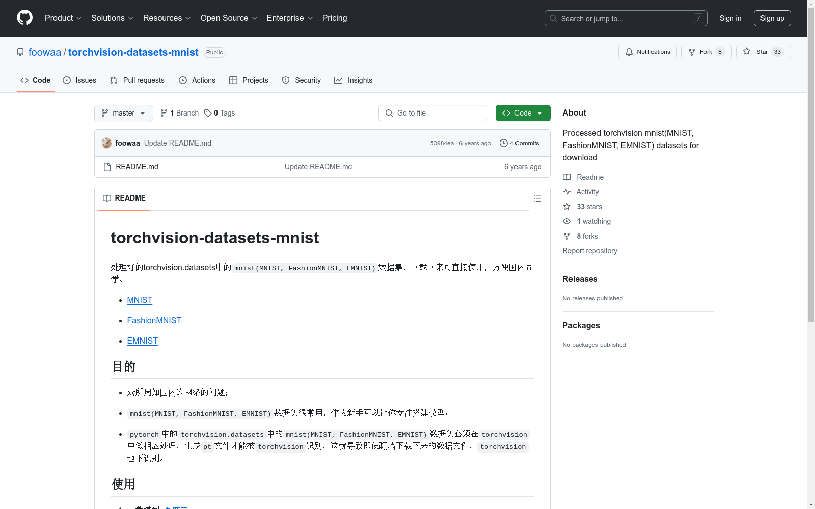
torchvision-datasets-mnist
包含数据集
MNISTFashionMNISTEMNIST
数据集来源
MNIST: http://yann.lecun.com/exdb/mnist/FashionMNIST: https://github.com/zalandoresearch/fashion-mnistEMNIST: http://www.itl.nist.gov/iaui/vip/cs_links/EMNIST/
数据集目的
- 解决国内网络下载问题。
- 为新手提供便捷的数据集,以便专注于模型搭建。
- 确保数据集在
torchvision中可识别。
数据集使用方法
- 下载数据集文件:百度云
- 解压
processed.zip文件,保留processed文件夹,将train.pt和test.pt存放在指定路径下。 - 使用示例: python import torchvision train_dataset = torchvision.datasets.MNIST(root=/Users/xxx/datasets/MNIST/, train=True, transform=transforms.ToTensor(), download=False) test_dataset = torchvision.datasets.MNIST(root=/Users/xxx/datasets/MNIST/, train=False, transform=transforms.ToTensor(), download=False)

FEVER
FEVER(Fact Extraction and VERification)数据集是一个用于事实验证任务的数据集,包含超过185,000个标注的声明,这些声明需要从维基百科中提取证据进行验证。数据集的目标是帮助开发和评估自动事实验证系统。
fever.ai 收录
NREL Wind Integration National Dataset (WIND) Toolkit
NREL Wind Integration National Dataset (WIND) Toolkit 是一个包含美国大陆风能资源和电力系统集成数据的综合数据集。该数据集提供了高分辨率的风速、风向、风能密度、电力输出等数据,覆盖了美国大陆的多个地理区域。这些数据有助于研究人员和工程师进行风能资源评估、电力系统规划和集成研究。
www.nrel.gov 收录
全国 1∶200 000 数字地质图(公开版)空间数据库
As the only one of its kind, China National Digital Geological Map (Public Version at 1∶200 000 scale) Spatial Database (CNDGM-PVSD) is based on China' s former nationwide measured results of regional geological survey at 1∶200 000 scale, and is also one of the nationwide basic geosciences spatial databases jointly accomplished by multiple organizations of China. Spatially, it embraces 1 163 geological map-sheets (at scale 1: 200 000) in both formats of MapGIS and ArcGIS, covering 72% of China's whole territory with a total data volume of 90 GB. Its main sources is from 1∶200 000 regional geological survey reports, geological maps, and mineral resources maps with an original time span from mid-1950s to early 1990s. Approved by the State's related agencies, it meets all the related technical qualification requirements and standards issued by China Geological Survey in data integrity, logic consistency, location acc racy, attribution fineness, and collation precision, and is hence of excellent and reliable quality. The CNDGM-PVSD is an important component of China' s national spatial database categories, serving as a spatial digital platform for the information construction of the State's national economy, and providing informationbackbones to the national and provincial economic planning, geohazard monitoring, geological survey, mineral resources exploration as well as macro decision-making.
DataCite Commons 收录
TCIA
TCIA(The Cancer Imaging Archive)是一个公开的癌症影像数据集,包含多种癌症类型的医学影像数据,如CT、MRI、PET等。这些数据通常与临床和病理信息相结合,用于癌症研究和临床试验。
www.cancerimagingarchive.net 收录
FAOSTAT
FAOSTAT provides time-series data about agriculture, nutrition, fisheries, forestry and food aid by country and region from 1961 to present. FAOSTAT is a multilingual database. Data can be searched, browsed, and downloaded.
re3data.org 收录
