青藏高原一江两河流域耕地水环境重金属分布特征数据集(2021)
收藏国家青藏高原科学数据中心2023-05-12 更新2024-03-07 收录
下载链接:
https://data.tpdc.ac.cn/zh-hans/data/7e659201-cae5-4b3b-affe-ff551c65f4c2
下载链接
链接失效反馈官方服务:
资源简介:
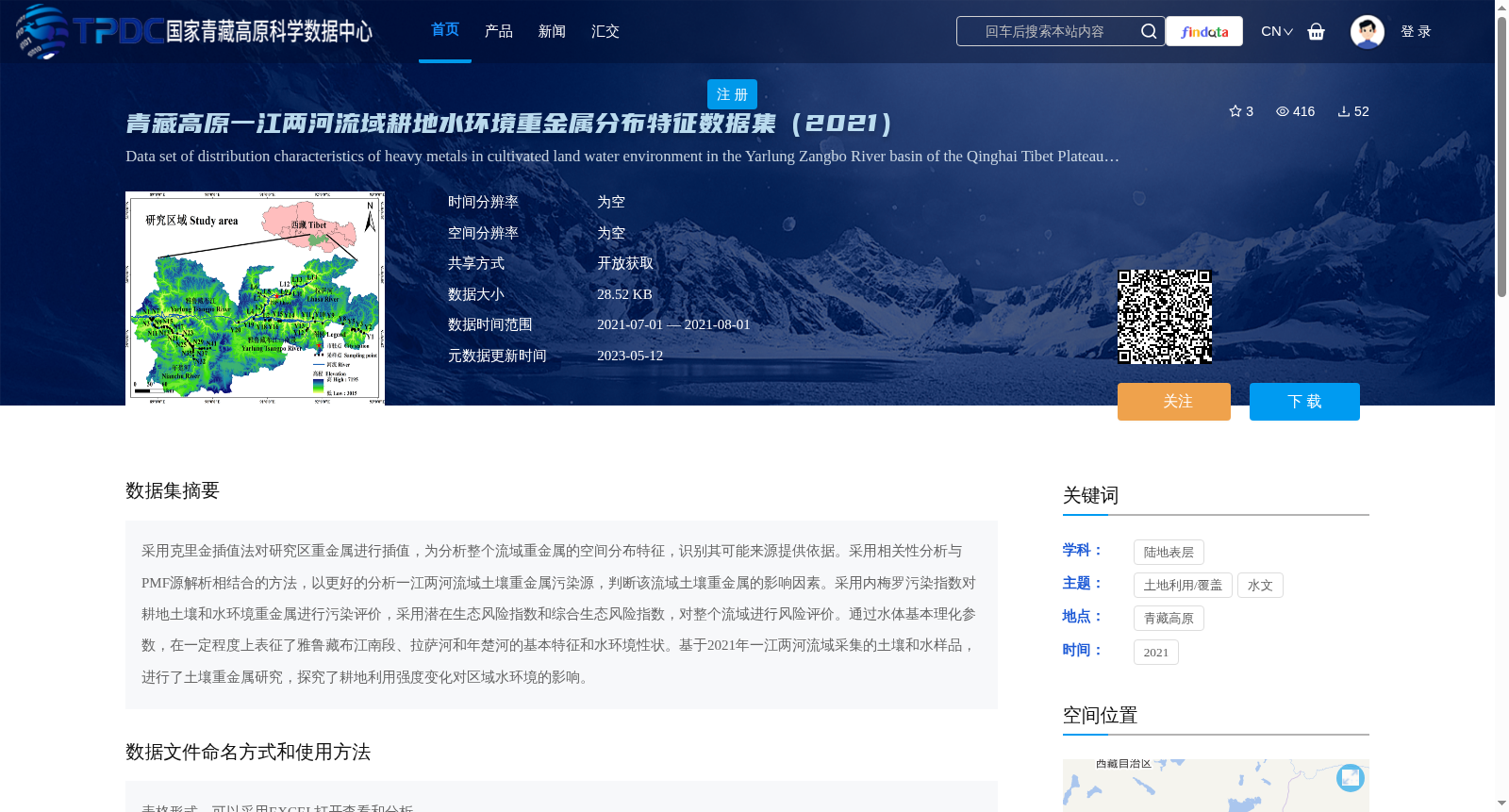
采用克里金插值法对研究区重金属进行插值,为分析整个流域重金属的空间分布特征,识别其可能来源提供依据。采用相关性分析与PMF源解析相结合的方法,以更好的分析一江两河流域土壤重金属污染源,判断该流域土壤重金属的影响因素。采用内梅罗污染指数对耕地土壤和水环境重金属进行污染评价,采用潜在生态风险指数和综合生态风险指数,对整个流域进行风险评价。通过水体基本理化参数,在一定程度上表征了雅鲁藏布江南段、拉萨河和年楚河的基本特征和水环境性状。基于2021年一江两河流域采集的土壤和水样品,进行了土壤重金属研究,探究了耕地利用强度变化对区域水环境的影响。
Kriging interpolation was applied to interpolate heavy metals in the study area, providing a basis for analyzing the spatial distribution characteristics of heavy metals across the entire basin and identifying their potential sources. A combination of correlation analysis and Positive Matrix Factorization (PMF) source apportionment was employed to better analyze the sources of soil heavy metal pollution in the Yarlung Zangbo River and its two tributaries basin, and determine the influencing factors of soil heavy metals in this basin. The Nemerow Pollution Index was used to assess heavy metal pollution in cultivated land soils and aquatic environments, while the Potential Ecological Risk Index and Comprehensive Ecological Risk Index were adopted to conduct risk assessment for the entire basin. Basic physical and chemical parameters of water bodies were used to characterize, to a certain extent, the basic features and aquatic environmental characteristics of the southern section of the Yarlung Zangbo River, Lhasa River and Nianchu River. Based on soil and water samples collected from the Yarlung Zangbo River and its two tributaries basin in 2021, a study on soil heavy metals was conducted to explore the impacts of changes in cultivated land use intensity on the regional aquatic environment.
提供机构:
张强英,布多
创建时间:
2022-12-31
搜集汇总
数据集介绍
背景与挑战
背景概述
该数据集聚焦于2021年青藏高原一江两河流域(包括雅鲁藏布江南段、拉萨河和年楚河)的耕地水环境重金属分布特征,通过克里金插值、PMF源解析等方法分析重金属空间分布、污染源和生态风险,并基于土壤和水样品数据评估耕地利用强度对水环境的影响。数据集以表格形式提供,大小为28.52 KB,开放获取,旨在为环境研究和风险评价提供科学依据。
以上内容由遇见数据集搜集并总结生成


