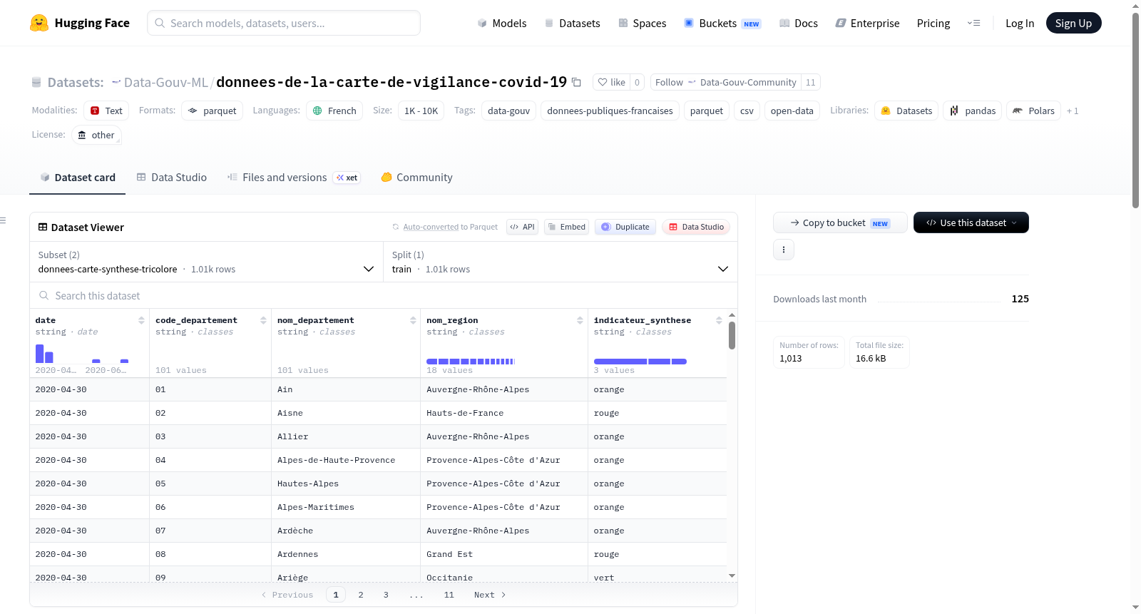
Data-Gouv-FR/donnees-de-la-carte-de-vigilance-covid-19
收藏资源简介:
该数据集包含法国COVID-19警戒地图的基础数据,用于支持法国政府发布的COVID-19仪表板。数据集描述了自2020年6月2日起根据不同地区应用差异化措施的参考地图。在2020年5月28日之前,地图基于三个指标构建:病毒的活跃传播(基于急诊就诊中疑似COVID-19病例的比例)、重症监护医院压力(基于COVID-19患者占用的重症监护床位比例,相对于疫情前的初始容量)以及截至5月11日的估计测试覆盖率。自2020年5月28日起,地图改为基于以下四个指标,并辅以风险分析:流行病活动(发病率,即每周每10万居民中病毒检测阳性的数量)、病毒检测阳性率、R0值的变化(每个患者传染的人数)以及重症监护医院压力(COVID患者占用的重症监护床位比例,相对于初始重症监护容量)。数据集还包括相关指标的元数据,用于跟踪COVID-19疫情。
This dataset contains the foundational data for France’s COVID-19 alert map, which supports the COVID-19 dashboard released by the French government. This dataset documents the reference map for differentiated regional COVID-19 control measures implemented since June 2, 2020. Prior to May 28, 2020, the map was constructed based on three indicators: active viral transmission (measured by the proportion of suspected COVID-19 cases among emergency department visits), intensive care unit (ICU) strain (measured by the proportion of ICU beds occupied by COVID-19 patients relative to the pre-pandemic baseline capacity), and estimated testing coverage as of May 11. As of May 28, 2020, the map was updated to rely on the following four indicators, supplemented by risk analysis: epidemic activity (incidence rate, i.e., the number of positive viral test results per 100,000 residents per week), positive viral test rate, changes in the R0 value (the number of secondary infections generated by each infected patient), and ICU strain (the proportion of ICU beds occupied by COVID-19 patients relative to the baseline ICU capacity). The dataset also includes metadata for the relevant indicators to support COVID-19 outbreak tracking.