长三角地区数字高程数据产品(SRTM DEM数据)
收藏国家地球系统科学数据中心2018-06-28 更新2024-03-04 收录
下载链接:
https://www.geodata.cn/data/datadetails.html?dataguid=131144728972874&docId=19620
下载链接
链接失效反馈官方服务:
资源简介:
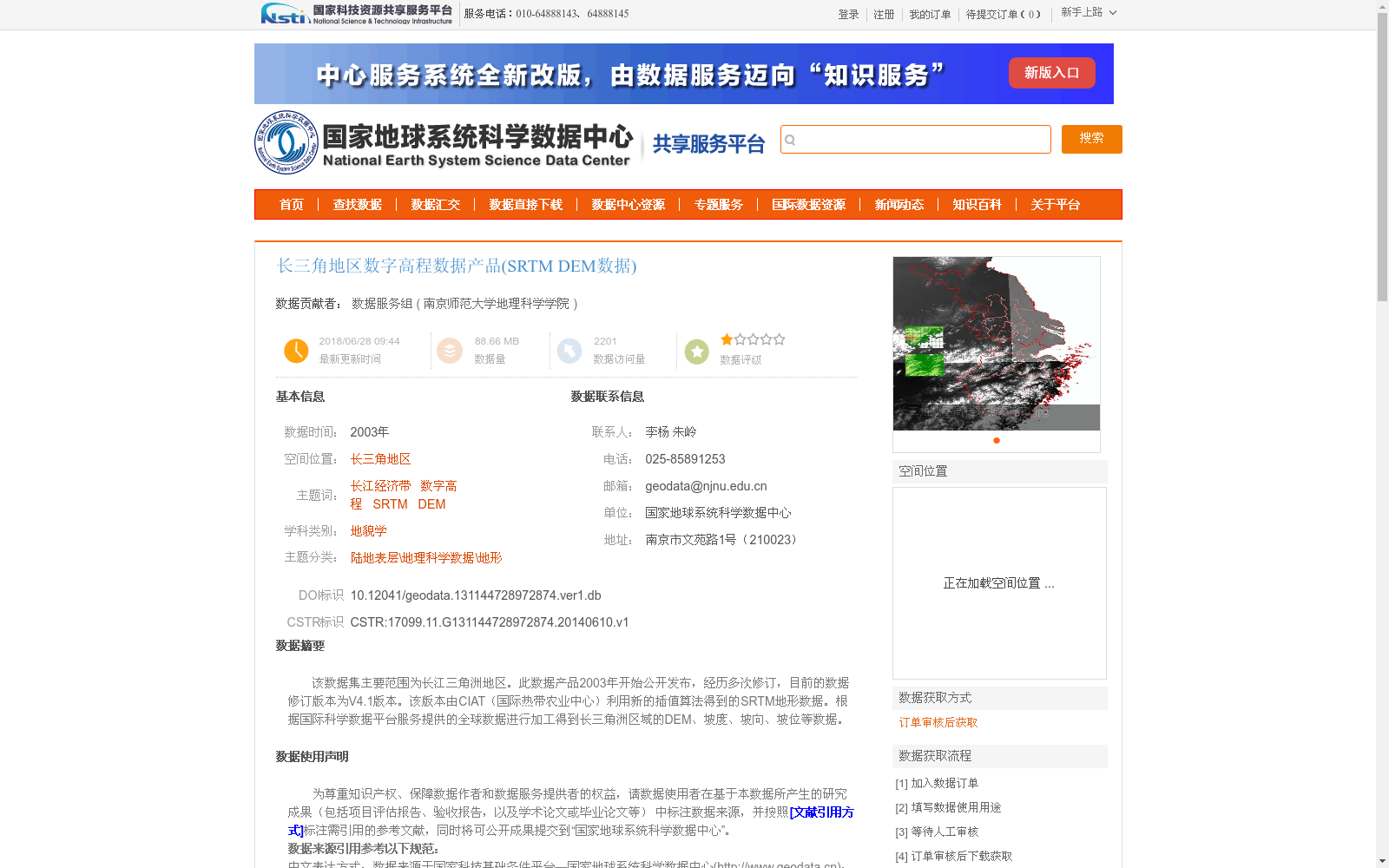
该数据集主要范围为长江三角洲地区。此数据产品2003年开始公开发布,经历多次修订,目前的数据修订版本为V4.1版本。该版本由CIAT(国际热带农业中心)利用新的插值算法得到的SRTM地形数据。根据国际科学数据平台服务提供的全球数据进行加工得到长三角洲区域的DEM、坡度、坡向、坡位等数据。
This dataset primarily covers the Yangtze River Delta region. This data product has been publicly released since 2003, has undergone multiple revisions, and its current revised version is V4.1. The SRTM topographic data of this version was generated by CIAT (International Center for Tropical Agriculture) using a novel interpolation algorithm. Furthermore, DEM, slope, aspect, slope position and other geospatial data for the Yangtze River Delta region were derived by processing the global data provided by the International Scientific Data Platform Service.
提供机构:
南京师范大学地理科学学院
创建时间:
2014-06-10
搜集汇总
数据集介绍
背景与挑战
背景概述
该数据集是长三角地区的数字高程数据产品,基于2003年发布的SRTM地形数据,采用V4.1版本,由国际热带农业中心(CIAT)通过新插值算法加工而成,提供90米分辨率的DEM、坡度、坡向和坡位等信息。数据专供科学研究使用,用户需在成果中标注来源并遵循引用规范。
以上内容由遇见数据集搜集并总结生成


