湖北省1:25万10km2以上湖泊空间演变数据集(1950-2008)
收藏国家地球系统科学数据中心2023-11-27 更新2024-03-04 收录
下载链接:
https://www.geodata.cn/data/datadetails.html?dataguid=131254225211938&docId=4319
下载链接
链接失效反馈官方服务:
资源简介:
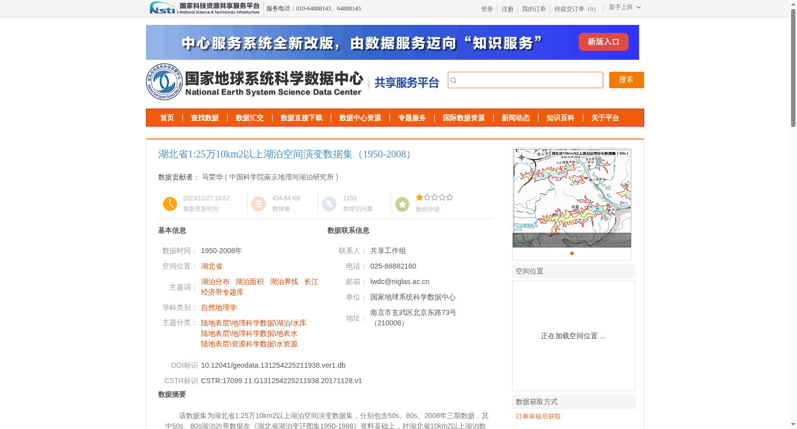
该数据集为湖北省1:25万10km2以上湖泊空间演变数据集,分别包含50s、80s、2008年三期数据,其中50s、80s湖泊边界数据在《湖北省湖泊变迁图集1950-1988》资料基础上,对湖北省10km2以上湖泊数据进行空间边界勾画,并对湖泊所属市县及面积大小进行统计,2008年数据主要根据对应影像进行解译,最终得到湖北省三期湖泊空间数据,包含湖泊的名称、所属县市、面积大小等指标。
数据集按时间存放,包含3个文件夹,分别为湖北省1:25万10km2以上湖泊空间分布数据集(50s)、湖北省1:25万10km2以上湖泊空间分布数据集(80s)、湖北省1:25万10km2以上湖泊空间分布数据集(2008),每个文件夹均包含对应时间的shp矢量文件。
This is the 1:250000-scale spatial evolution dataset of lakes in Hubei Province with an area of no less than 10 km², which includes three phases of data corresponding to the 1950s, 1980s and 2008. For the 1950s and 1980s datasets, the lake boundaries were delineated based on the materials in *Atlas of Lake Changes in Hubei Province 1950–1988*, and the county or city each lake belongs to as well as the lake area were statistically calculated. The 2008 dataset was primarily interpreted using corresponding remote sensing images. Finally, three phases of spatial lake data for Hubei Province were generated, covering attributes including lake name, affiliated county/city, and area.
This dataset is organized by time period, containing three subfolders. The three folders are respectively named "Spatial Distribution Dataset of Lakes in Hubei Province with Area ≥10 km² (1:250000, 1950s)", "Spatial Distribution Dataset of Lakes in Hubei Province with Area ≥10 km² (1:250000, 1980s)" and "Spatial Distribution Dataset of Lakes in Hubei Province with Area ≥10 km² (1:250000, 2008)". Each folder contains the shapefile vector files corresponding to the respective time phase.
提供机构:
中国科学院南京地理与湖泊研究所
创建时间:
2017-11-28
搜集汇总
数据集介绍
背景与挑战
背景概述
湖北省1:25万10km2以上湖泊空间演变数据集(1950-2008)包含三期湖泊空间数据,分别来自50年代、80年代和2008年,详细记录了湖泊边界、名称、所属县市和面积等信息,适用于自然地理学和资源科学研究。
以上内容由遇见数据集搜集并总结生成


