San Francisco taxi trajectories
收藏资源简介:
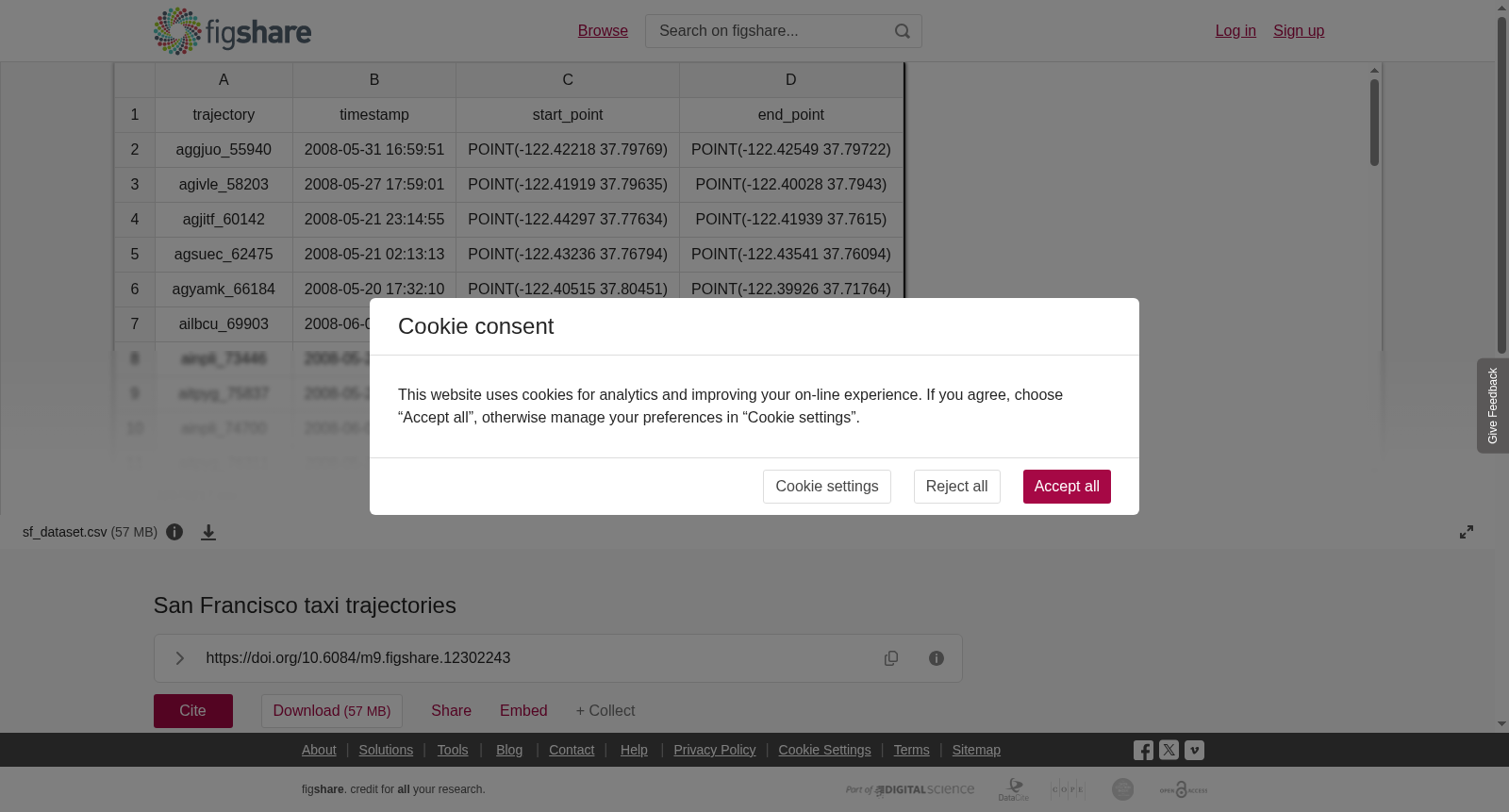
A CSV dataset containing taxi trajectories recorded over 25 days (from 2008/05/17 to 2008/06/10) in the San Francisco Bay area.<br>The dataset is derived from the <i> "The epfl/mobility dataset"</i>,<i> </i>available at https://crawdad.org/epfl/mobility/20090224/.<i><br></i>Each CSV row contains:<br>- <b>taxi_id</b>: numeric value identifying an involved taxi;- <b>trajectory_id</b>: numeric value identifying a trajectory in the original dataset;- <b>timestamp</b>: a timestamp corresponding to the starting time of the taxi ride;- <b>source_point</b>: GPS point representing the origin of the taxi ride;<br>- <b>target_point</b>: GPS point representing the destination of the taxi ride;<i> </i><i><br></i><i><br></i>Coordinates are given in POINT(longitude latitude) format using the EPSG:4326 Geodetic coordinate system.
本数据集为CSV格式,收录了2008年5月17日至2008年6月10日共25天内旧金山湾区记录的出租车轨迹数据。 该数据集衍生自<i>"epfl/mobility数据集"</i>,可通过链接https://crawdad.org/epfl/mobility/20090224/获取。 每条CSV行包含以下字段: - <b>出租车ID(taxi_id)</b>:用于标识对应出租车的数值; - <b>轨迹ID(trajectory_id)</b>:用于标识原始数据集中单条轨迹的数值; - <b>时间戳(timestamp)</b>:对应本次出租车行程开始时间的时间戳; - <b>起点GPS点位(source_point)</b>:代表本次出租车行程起点的GPS点位; - <b>终点GPS点位(target_point)</b>:代表本次出租车行程终点的GPS点位。 坐标采用EPSG:4326大地坐标系,以POINT(经度 纬度)格式给出。