NATHANSON C A SONOMA CA (USGS 11458600)
收藏erddap.cencoos.org2025-01-15 收录
下载链接:
https://erddap.cencoos.org/erddap/tabledap/gov_usgs_nwis_11458600.html
下载链接
链接失效反馈官方服务:
资源简介:
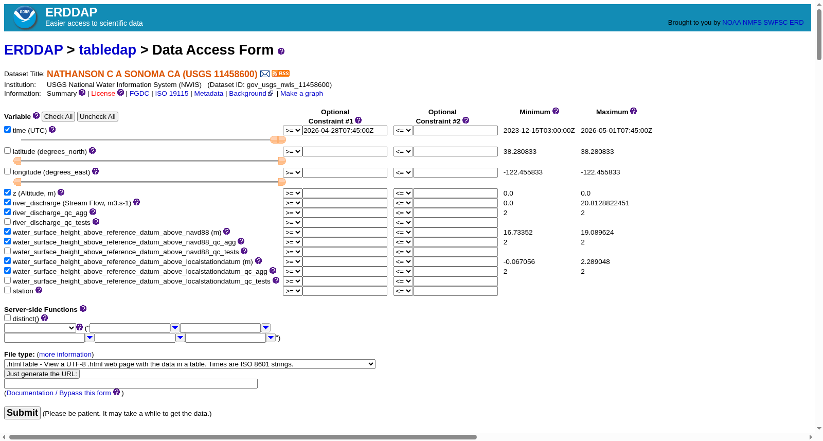
Timeseries data from 'NATHANSON C A SONOMA CA (USGS 11458600)' (gov_usgs_nwis_11458600)
cdm_data_type=TimeSeries
cdm_timeseries_variables=station,longitude,latitude
contributor_email=feedback@axiomdatascience.com
contributor_name=Axiom Data Science
contributor_role=processor
contributor_role_vocabulary=NERC
contributor_url=https://www.axiomdatascience.com
Conventions=IOOS-1.2, CF-1.6, ACDD-1.3, NCCSV-1.2
defaultDataQuery=water_surface_height_above_reference_datum_geoid_navd88,water_surface_height_above_reference_datum_geoid_localstationdatum_qc_agg,river_discharge,z,time,water_surface_height_above_reference_datum_geoid_navd88_qc_agg,water_surface_height_above_reference_datum_geoid_localstationdatum,river_discharge_qc_agg&time>=max(time)-3days
Easternmost_Easting=-122.455833
featureType=TimeSeries
geospatial_lat_max=38.280833
geospatial_lat_min=38.280833
geospatial_lat_units=degrees_north
geospatial_lon_max=-122.455833
geospatial_lon_min=-122.455833
geospatial_lon_units=degrees_east
geospatial_vertical_max=0.0
geospatial_vertical_min=0.0
geospatial_vertical_positive=up
geospatial_vertical_units=m
history=Downloaded from USGS National Water Information System (NWIS) at
id=133394
infoUrl=https://sensors.ioos.us/#metadata/133394/station
institution=USGS National Water Information System (NWIS)
naming_authority=com.axiomdatascience
Northernmost_Northing=38.280833
platform=fixed
platform_name=NATHANSON C A SONOMA CA (USGS 11458600)
platform_vocabulary=http://mmisw.org/ont/ioos/platform
processing_level=Level 2
references=https://waterdata.usgs.gov/monitoring-location/11458600,,
sourceUrl=https://waterdata.usgs.gov/monitoring-location/11458600
Southernmost_Northing=38.280833
standard_name_vocabulary=CF Standard Name Table v72
station_id=133394
time_coverage_end=2024-12-10T13:15:00Z
time_coverage_start=2023-12-15T03:00:00Z
Westernmost_Easting=-122.455833
时序数据源自‘NATHANSON C A SONOMA CA(美国地质调查局11458600号)’(gov_usgs_nwis_11458600)。数据类型为时序数据集,包含站点、经度、纬度等变量。数据提供方为Axiom Data Science,其处理角色属于NERC范畴,相关信息可通过其官方网站https://www.axiomdatascience.com查询。数据遵循IOOS-1.2、CF-1.6、ACDD-1.3、NCCSV-1.2等规范,默认数据查询参数包括水面高度、河流流量等,时间范围为最大时间点往前推3天。地理范围为北纬38.280833度,东经-122.455833度,垂直单位为米,向上为正方向。数据来源于美国地质调查局国家水资源信息系统(NWIS),数据ID为133394。详细信息可通过https://sensors.ioos.us/#metadata/133394/station查询。数据机构为美国地质调查局国家水资源信息系统,标准名称词汇表采用CF标准名称表v72。数据收集站点的ID为133394,时间覆盖范围从2023年12月15日03:00:00Z至2024年12月10日13:15:00Z。
提供机构:
erddap.cencoos.org
搜集汇总
数据集介绍
背景与挑战
背景概述
该数据集是美国地质调查局(USGS)国家水信息系统(NWIS)提供的时间序列水文数据,来自加州索诺马的一个固定监测站点(USGS 11458600),包含河流流量(范围0.0至20.81 m³/s)和水面高度(基于NAVD88和本地基准面)等关键变量,数据覆盖时间从2023年12月15日到2026年5月1日。数据集特点包括:提供详细的质量控制标志(如QARTOD测试结果),适用于水文分析和环境监测;数据通过ERDDAP平台以多种格式(如CSV、NetCDF)公开访问,支持科学研究和应用。
以上内容由遇见数据集搜集并总结生成


