青藏高原山地冰川流速数据集(2019-2020)
收藏国家青藏高原科学数据中心2022-11-04 更新2024-03-01 收录
下载链接:
https://data.tpdc.ac.cn/zh-hans/data/d412e82b-e766-4abf-9d0f-3f93ed53acd0
下载链接
链接失效反馈官方服务:
资源简介:
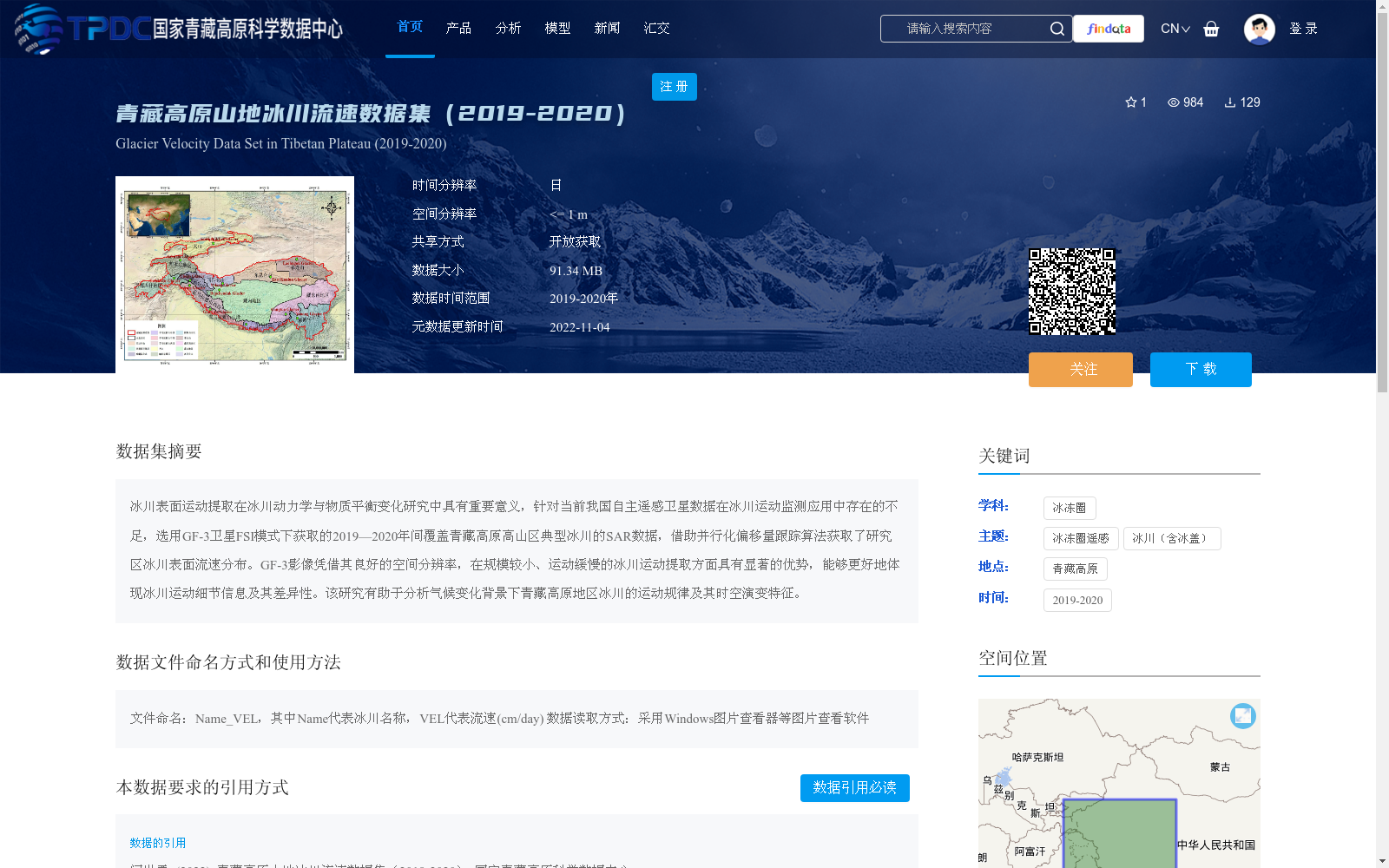
冰川表面运动提取在冰川动力学与物质平衡变化研究中具有重要意义,针对当前我国自主遥感卫星数据在冰川运动监测应用中存在的不足,选用GF-3卫星FSI模式下获取的2019—2020年间覆盖青藏高原高山区典型冰川的SAR数据,借助并行化偏移量跟踪算法获取了研究区冰川表面流速分布。GF-3影像凭借其良好的空间分辨率,在规模较小、运动缓慢的冰川运动提取方面具有显著的优势,能够更好地体现冰川运动细节信息及其差异性。该研究有助于分析气候变化背景下青藏高原地区冰川的运动规律及其时空演变特征。
Glacier surface motion extraction holds great significance for research on glacier dynamics and mass balance changes. To address the limitations of China's independently developed remote sensing satellite data in glacier motion monitoring applications, this study selected SAR data covering typical glaciers in the high mountainous areas of the Qinghai-Tibet Plateau, acquired by the GF-3 satellite in FSI mode between 2019 and 2020, and derived the glacier surface velocity distribution in the study area using a parallelized offset tracking algorithm. Benefiting from its excellent spatial resolution, GF-3 images exhibit notable advantages in extracting motion information for small-scale and slow-moving glaciers, and can better capture the detailed motion characteristics and inter-glacier differences. This research contributes to analyzing the motion patterns and spatiotemporal evolution characteristics of glaciers in the Qinghai-Tibet Plateau under the context of climate change.
提供机构:
闫世勇
创建时间:
2022-11-04
搜集汇总
数据集介绍
背景与挑战
背景概述
该数据集基于GF-3卫星SAR数据,采用并行化偏移量跟踪算法,生成了2019-2020年青藏高原山地冰川的日时间分辨率、空间分辨率<=1米的表面流速数据,数据大小为91.34 MB。它旨在支持冰川动力学和物质平衡变化研究,特别适用于分析小规模、慢速冰川的运动细节,以揭示气候变化背景下冰川的时空演变规律。数据以开放获取方式共享,要求用户在使用时进行引用。
以上内容由遇见数据集搜集并总结生成


