2021年高寒区7个站点水文数据集(河流水位、流量)站点数据
收藏地球大数据科学工程2024-03-04 收录
下载链接:
https://data.casearth.cn/sdo/detail/6538836a819aec0f26f3a01a
下载链接
链接失效反馈官方服务:
资源简介:
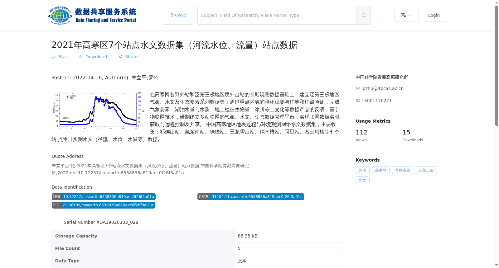
在高寒网各野外站和泛第三极地区境外台站的长期观测数据基础上,建立泛第三极地区气象、水文及生态要素系列数据集;通过重点区域的强化观测与样地和样点验证,完成气象要素、湖泊水量与水质、地上植被生物量、冰川冻土变化等数据产品的反演;基于物联网技术,研制建立多站联网的气象、水文、生态数据管理平台,实现联网数据实时获取与远程控制及共享。 中国高寒地区地表过程与环境观测网络水文数据集,主要收集:祁连山站、藏东南站、珠峰站、玉龙雪山站、纳木错站、阿里站、慕士塔格等七个站 点逐日实测水文(径流、水位、水温等)数据。
Based on long-term observational data from field stations of the China Alpine Terrestrial Surface Process and Environmental Observation Network (referred to as the Alpine Network hereinafter) and overseas stations in the Pan-Third Pole region, a series of datasets covering meteorological, hydrological and ecological elements for the Pan-Third Pole region were established. Through intensive observations in key regions and validation via sample plots and sampling sites, inversion of data products including meteorological elements, lake water volume and quality, above-ground vegetation biomass, glacial and permafrost changes was completed. Based on Internet of Things (IoT) technology, a multi-station interconnected meteorological, hydrological and ecological data management platform was developed and established, enabling real-time acquisition, remote control and sharing of interconnected data. The hydrological dataset of the China Alpine Terrestrial Surface Process and Environmental Observation Network mainly collects daily measured hydrological data (including runoff, water level, water temperature, etc.) from seven stations: Qilian Mountain Station, Southeast Tibet Station, Mount Qomolangma Station, Yulong Snow Mountain Station, Nam Co Station, Ali Station, and Muztagh Station.
提供机构:
中国科学院青藏高原研究所
搜集汇总
数据集介绍
背景与挑战
背景概述
该数据集是2021年中国高寒区7个站点(包括祁连山、藏东南、珠峰等)的逐日水文观测数据,涵盖河流水位、流量和水温等关键指标。数据以文本形式存储为XLSX格式,由中国科学院青藏高原研究所发布,旨在支持泛第三极地区气象、水文及生态要素研究。
以上内容由遇见数据集搜集并总结生成


