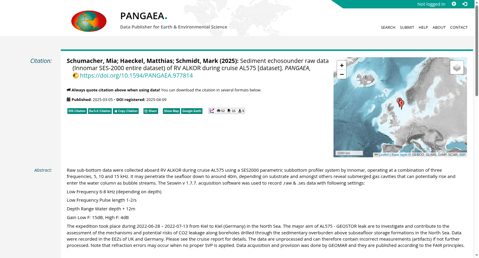
Sediment echosounder raw data (Innomar SES-2000 entire dataset) of RV ALKOR during cruise AL575
收藏资源简介:
Raw sub-bottom data were collected aboard RV ALKOR during cruise AL575 using a SES2000 parametric subbottom profiler system by Innomar, operating at a combination of three frequencies, 5, 10 and 15 kHz. It may penetrate the seafloor down to around 40m, depending on substrate and amongst others reveal submerged gas cavities that can potentially rise and enter the water column as bubble streams. The Seswin v 1.7.7. acquisition software was used to record .raw & .ses data with following settings: Low Frequency 6-8 kHz (depending on depth)Low Frequency Pulse length 1-2/sDepth Range Water depth + 12mGain Low F: 15dB, High F: 4dB The expedition took place during 2022-06-28 – 2022-07-13 from Kiel to Kiel (Germany) in the North Sea. The major aim of AL575 - GEOSTOR leak are to investigate and contribute to the assessment of the mechanisms and potential risks of CO2 leakage along boreholes drilled through the sedimentary overburden above subseafloor storage formations in the North Sea. Data were recorded in the EEZs of UK and Germany. Please see the cruise report for details. The data are unprocessed and can therefore contain incorrect measurements (artifacts) if not further processed. Note that refraction errors may occur when no proper SVP is applied. Data acquisition and provision was done by GEOMAR and they are published according to the FAIR principles.
本数据集的原始海底浅层剖面数据,由因诺玛(Innomar)公司生产的SES2000参数化海底浅层剖面仪系统采集,采集搭载于ALKOR号科考船(RV ALKOR)的AL575航次中,该系统采用5 kHz、10 kHz与15 kHz三种频率组合工作模式。该系统可穿透海底沉积物至约40米深度(具体取决于底质类型),并可探测到潜在上浮并以气泡流形式进入水体的海底埋藏气腔。数据采集采用Seswin v1.7.7软件,记录.raw与.ses格式数据,采集参数如下:低频段6-8 kHz(随探测深度调整)、低频脉冲重复频率1-2次/秒、探测深度范围为水深+12米、低频增益15dB、高频增益4dB。本次航次于2022年6月28日至2022年7月13日在北海海域开展,往返航线始于并终于德国基尔港(Kiel)。AL575航次——GEOSTOR泄漏项目的核心目标,是针对北海海底封存地层上方沉积覆盖层中钻井孔道的CO₂泄漏机制与潜在风险开展调查,为相关风险评估提供支撑。数据采集区域覆盖英国与德国的专属经济区(Exclusive Economic Zone, EEZ),详细信息请参阅航次报告。本数据集为原始未处理数据,若未进行后续处理,可能包含错误测量值(数据伪影)。需注意:若未应用合适的声速剖面(Sound Velocity Profile, SVP),可能会出现折射误差。本数据集的采集与发布由GEOMAR研究所完成,遵循FAIR原则(FAIR principles)进行公开共享。