中国区域500米NDVI日合成产品(AQUA星)
收藏地球大数据科学工程2024-04-26 收录
下载链接:
https://data.casearth.cn/sdo/detail/653f6ac1819aec161b5389a3
下载链接
链接失效反馈官方服务:
资源简介:
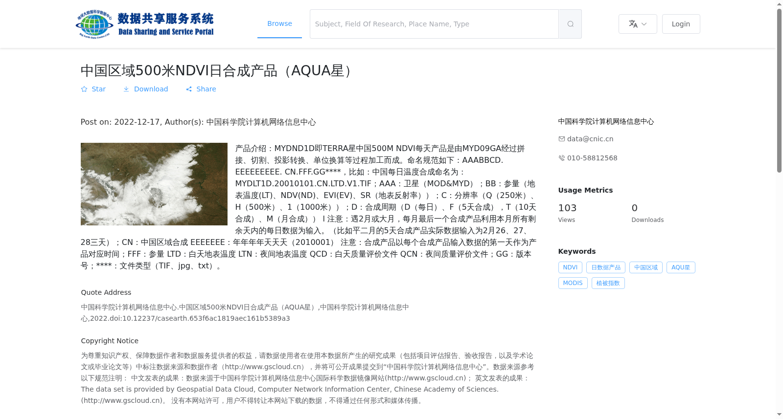
产品介绍:MYDND1D即TERRA星中国500M NDVI每天产品是由MYD09GA经过拼接、切割、投影转换、单位换算等过程加工而成。命名规范如下:AAABBCD. EEEEEEEEE. CN.FFF.GG****,比如:中国每日温度合成命名为:MYDLT1D.20010101.CN.LTD.V1.TIF;AAA:卫星(MOD&MYD);BB:参量(地表温度(LT)、NDV(ND)、EVI(EV)、SR(地表反射率));C:分辨率(Q(250米)、H(500米)、1(1000米));D:合成周期(D(每日)、F(5天合成),T(10天合成)、M(月合成)) l 注意:遇2月或大月,每月最后一个合成产品利用本月所有剩余天内的每日数据为输入。(比如平二月的5天合成产品实际数据输入为2月26、27、28三天);CN:中国区域合成 EEEEEEE:年年年年天天天(2010001) 注意:合成产品以每个合成产品输入数据的第一天作为产品对应时间;FFF:参量 LTD:白天地表温度 LTN:夜间地表温度 QCD:白天质量评价文件 QCN:夜间质量评价文件;GG:版本号;****:文件类型(TIF、jpg、txt)。
Product Introduction: The MYDND1D (i.e., Terra China 500m Daily NDVI Product) is processed from MYD09GA through procedures including mosaicking, clipping, projection transformation, unit conversion, etc. The naming convention follows the format: AAABBCD. EEEEEEEEE. CN.FFF.GG****. For example, the daily China land surface temperature synthesis product is named as MYDLT1D.20010101.CN.LTD.V1.TIF. Detailed breakdown of each naming component: 1. AAA: Satellite platform (MOD&MYD); 2. BB: Parameter (Land Surface Temperature (LT), NDVI (NDV), EVI (EV), Surface Reflectance (SR)); 3. C: Spatial resolution (Q: 250m, H: 500m, 1: 1000m); 4. D: Synthesis cycle (D: Daily, F: 5-day synthesis, T: 10-day synthesis, M: Monthly synthesis). Note: For February or months with 31 days, the final synthesis product of each month utilizes the daily data of all remaining days in the current month as input. For instance, the 5-day synthesis product for a non-leap February actually uses data from February 26, 27, and 28 as the input dataset. CN: China regional synthesis product. EEEEEEEEE: Timestamp in the format of YYYYDDD (e.g., 2010001). Note: The reference time of the synthesis product is set as the first day of the input data used for generating the product. FFF: Parameter code: LTD: Daytime Land Surface Temperature; LTN: Nighttime Land Surface Temperature; QCD: Daytime Quality Assessment File; QCN: Nighttime Quality Assessment File. GG: Version number. ****: File extension (TIF, JPG, TXT).
提供机构:
中国科学院计算机网络信息中心
搜集汇总
数据集介绍
背景与挑战
背景概述
该数据集是中国区域的500米空间分辨率NDVI(归一化植被指数)日合成产品,源自AQUA卫星(MYD)的MODIS传感器,通过MYD09GA数据经拼接、切割等处理生成。它具有高时间分辨率(每日更新),覆盖中国区域,以GeoTiff格式提供,总存储容量为574.4 GB,包含9402个文件,适用于植被动态监测和环境研究。
以上内容由遇见数据集搜集并总结生成


