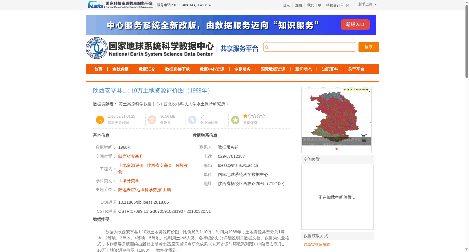
陕西安塞县1:10万土地资源评价图(1988年)
收藏资源简介:
数据为陕西安塞县1:10万土地资源评价图,比例尺为1:10万,时间为1988年,土地资源类型分为1等地、2等地、3等地、4等地、5等地、难利用土地6大类。各等级的划分详细说明见数据文档。数据为矢量格式,本数据层是据测绘出版社出版黄土高原遥感调查研究成果《安塞资源与环境系列图》中陕西安塞县1:10万土地资源评价图(1988年)数字化得到。
This dataset is the 1:100,000 scale land resource evaluation map of Ansai County, Shaanxi Province, created in 1988. Land resource types are divided into six categories: Grade 1 land, Grade 2 land, Grade 3 land, Grade 4 land, Grade 5 land, and barely utilizable land. Detailed classification criteria for each grade are specified in the accompanying data documentation. This dataset is in vector format, and the data layer was digitized from the 1:100,000 scale land resource evaluation map of Ansai County, Shaanxi Province (1988), which is included in *Series Maps of Resources and Environment of Ansai* — a research outcome of the Loess Plateau remote sensing survey published by Surveying and Mapping Publishing House.