
Global Land Cover Characterization (GLCC)
收藏Mendeley Data2024-02-19 更新2024-06-27 收录
下载链接:
https://www.usgs.gov/centers/eros/science/usgs-eros-archive-land-cover-products-global-land-cover-characterization-glcc
下载链接
链接失效反馈官方服务:
资源简介:
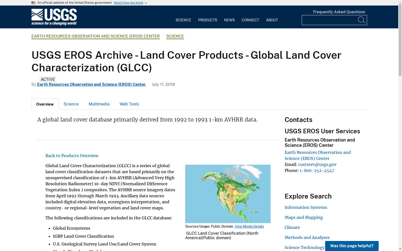
Global Land Cover Characterization (GLCC) is a series of global land cover classification datasets that are based primarily on the unsupervised classification of 1-km AVHRR (Advanced Very High Resolution Radiometer) 10-day NDVI (Normalized Difference Vegetation Index ) composites. The AVHRR source imagery dates from April 1992 through March 1993. Ancillary data sources included digital elevation data, ecoregions interpretation, and country- or regional-level vegetation and land cover maps. The following classifications are included in the GLCC database: Global Ecosystems IGBP Land Cover Classification U.S. Geological Survey Land Use/Land Cover System Simple Biosphere Model Simple Biosphere 2 Model Biosphere Atmosphere Transfer Scheme Vegetation Lifeform All of the GLCC classifications consist of raster images that contain class number values for each pixel that correspond to the appropriate classification scheme legend. Legends for each of the derived datasets are listed in the Appendix of the GLCC README. All GLCC data is available in two forms: GLCC (by continent) provides the GLCC classifications, as well as monthly NDVI composites, on a continent-by-continent basis (Africa, North America, South America, Eurasia, and Australia/Pacific). The continent GLCC data is available in the Interrupted Goode Homolosine or in the Lambert Azimuthal Equal-Area projection. Nominal spatial resolution is 1 kilometer. GLCC (global) data consists of the continent GLCC datasets which have been combined to produce a set of global GLCC composites. The global data is available in either the Interrupted Goode Homolosine or in geographic (latitude/longitude) coordinates. Nominal spatial resolution is 1 kilometer. For every GLCC dataset, there are two versions available. Version 1 consists of GLCC data which has undergone complete accuracy assessment. Version 2 is updated GLCC which reflects additional data and sources, but accuracy assessment has not been completed.
全球土地覆盖表征(Global Land Cover Characterization, GLCC)是一系列全球土地覆盖分类数据集,其核心基于对1公里分辨率高级甚高分辨率辐射计(Advanced Very High Resolution Radiometer, AVHRR)获取的10天合成归一化差分植被指数(Normalized Difference Vegetation Index, NDVI)数据的无监督分类。所用AVHRR源影像的采集时段为1992年4月至1993年3月。辅助数据源涵盖数字高程数据、生态区解译成果,以及国家或区域尺度的植被与土地覆盖地图。GLCC数据库包含以下分类体系:全球生态系统分类、国际地圈生物圈计划土地覆盖分类(International Geosphere-Biosphere Programme, IGBP)、美国地质调查局土地利用/土地覆盖系统(U.S. Geological Survey, USGS)、简单生物圈模型(Simple Biosphere Model)、简单生物圈2号模型(Simple Biosphere 2 Model)、生物圈-大气传输方案(Biosphere Atmosphere Transfer Scheme)以及植被生活型分类。所有GLCC分类成果均为栅格影像,每个像素附带对应分类体系图例的类别编号值。各衍生数据集的分类图例均列于GLCC自述文件(README)的附录部分。所有GLCC数据均提供两种分发形式:其一为按大洲分幅的GLCC数据,即以大洲为单元(涵盖非洲、北美洲、南美洲、欧亚大陆以及澳大利亚/太平洋区域)提供GLCC分类成果与月度NDVI合成数据;该分幅数据可采用古德中断等面积投影(Interrupted Goode Homolosine Projection)或兰伯特方位等面积投影(Lambert Azimuthal Equal-Area Projection)获取,标称空间分辨率为1公里。其二为全球一体化GLCC数据,即由各分幅的GLCC数据集拼接整合而成的全球GLCC合成数据集;该全球数据可采用古德中断等面积投影或地理坐标系(经纬度坐标系)获取,标称空间分辨率为1公里。每一款GLCC数据集均提供两个版本:版本1为已完成全面精度评估的GLCC数据;版本2为基于新增数据源更新后的GLCC数据,但尚未完成精度评估。
创建时间:
2024-02-19
搜集汇总
数据集介绍
背景与挑战
背景概述
Global Land Cover Characterization (GLCC)是一个基于1992-1993年AVHRR数据的全球土地覆盖分类数据库,包含多种分类系统,并以大陆划分和全球综合两种形式提供。数据集有两个版本,分别对应已完成和未完成准确性评估的数据。
以上内容由遇见数据集搜集并总结生成



