南极海冰表面积雪厚度数据集(2002-2020)
收藏国家青藏高原科学数据中心2022-02-23 更新2024-03-01 收录
下载链接:
https://data.tpdc.ac.cn/zh-hans/data/61ea8177-7177-4507-aeeb-0c7b653d6fc3
下载链接
链接失效反馈官方服务:
资源简介:
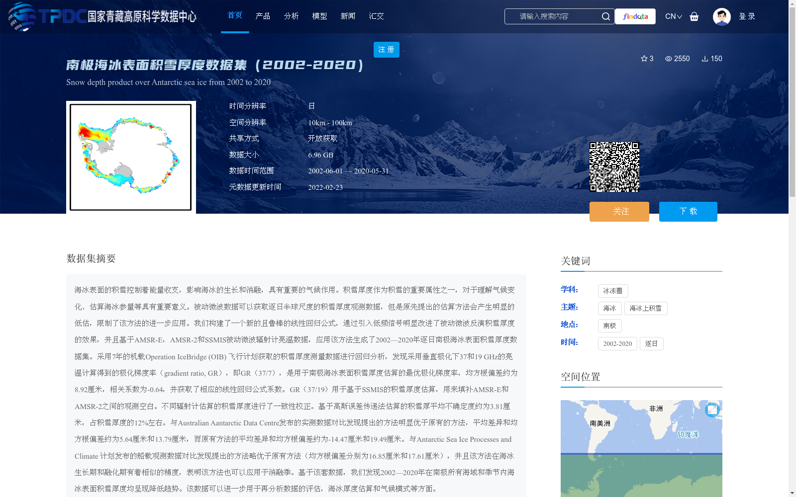
海冰表面的积雪控制着能量收支,影响海冰的生长和消融,具有重要的气候作用。积雪厚度作为积雪的重要属性之一,对于理解气候变化、估算海冰参量等具有重要意义。被动微波数据可以获取逐日半球尺度的积雪厚度观测数据,但是原先提出的估算方法会产生明显的低估,限制了该方法的进一步应用。我们构建了一个新的且鲁棒的线性回归公式,通过引入低频信号明显改进了被动微波反演积雪厚度的效果,并且基于AMSR-E,AMSR-2和SSMIS被动微波辐射计亮温数据,应用该方法生成了2002—2020年逐日南极海冰表面积雪厚度数据集。采用7年的机载Operation IceBridge (OIB) 飞行计划获取的积雪厚度测量数据进行回归分析,发现采用垂直极化下37和19 GHz的亮温计算得到的极化梯度率(gradient ratio, GR),即GR(37/7),是用于南极海冰表面积雪厚度估算的最优极化梯度率,均方根偏差约为8.92厘米,相关系数为-0.64,并获取了相应的线性回归公式系数。GR(37/19)用于基于SSMIS的积雪厚度估算,用来填补AMSR-E和AMSR-2之间的观测空白。不同辐射计估算的积雪厚度进行了一致性校正。基于高斯误差传递法估算的积雪厚平均不确定度约为3.81厘米,占积雪厚度的12%左右。与Australian Aantarctic Data Centre发布的实测数据对比发现提出的方法明显优于原有的方法,平均差异和均方根偏差约为5.64厘米和13.79厘米,而原有方法的平均差异和均方根偏差约为-14.47厘米和19.49厘米。与Antarctic Sea Ice Processes and Climate 计划发布的船载观测数据对比发现提出的方法略优于原有方法(均方根偏差分别为16.85厘米和17.61厘米),并且该方法在海冰生长期和融化期有着相似的精度,表明该方法也可以应用于消融季。基于该套数据,我们发现2002—2020年在南极所有海域和季节内海冰表面积雪厚度均呈现降低趋势。该数据可以进一步用于再分析数据的评估,海冰厚度估算和气候模式等方面。
Snow cover on sea ice surfaces regulates the energy budget, affects sea ice growth and melt, and plays a critical role in climate systems. Snow depth, a key attribute of snow cover, is of great significance for understanding climate change and estimating sea ice parameters. Passive microwave data can provide daily hemispheric-scale snow depth observations, but previously proposed estimation methods often produce significant underestimation, limiting their further application. We developed a new, robust linear regression formula that significantly improves the performance of passive microwave-based snow depth retrieval by incorporating low-frequency signals. Using brightness temperature data from the AMSR-E, AMSR-2, and SSMIS passive microwave radiometers, we generated a daily Antarctic sea ice surface snow depth dataset spanning 2002–2020 via this method. We conducted regression analysis using 7 years of in-situ snow depth measurements from the airborne Operation IceBridge (OIB) campaign, and found that the gradient ratio (GR) calculated from vertical-polarization brightness temperatures at 37 and 19 GHz—specifically GR(37/19)—is the optimal GR for estimating Antarctic sea ice surface snow depth. The root-mean-square error (RMSE) is approximately 8.92 cm, with a correlation coefficient of -0.64, and we obtained the corresponding coefficients for the linear regression formula. GR(37/19) was used for snow depth estimation based on SSMIS data to fill the observational gap between AMSR-E and AMSR-2. Consistency correction was performed for snow depth estimates derived from different radiometers. The mean uncertainty of snow depth estimated via the Gaussian error propagation method is approximately 3.81 cm, accounting for about 12% of the snow depth. Comparison with in-situ data released by the Australian Antarctic Data Centre (AADC) shows that the proposed method significantly outperforms the original one: the proposed method has a mean difference of ~5.64 cm and RMSE of ~13.79 cm, while the original method has a mean difference of ~-14.47 cm and RMSE of ~19.49 cm. Comparison with shipboard observational data released by the Antarctic Sea Ice Processes and Climate (ASPeCt) program shows that the proposed method slightly outperforms the original one (with RMSE of 16.85 cm and 17.61 cm, respectively). The method achieves similar accuracy during both sea ice growth and melt seasons, indicating that it can also be applied to the ablation season. Based on this dataset, we found that Antarctic sea ice surface snow depth exhibited a decreasing trend across all regions and seasons during 2002–2020. This dataset can be further used for reanalysis data evaluation, sea ice thickness estimation, climate models, and related research.
提供机构:
沈校熠,柯长青
创建时间:
2021-08-16
搜集汇总
数据集介绍
背景与挑战
背景概述
该数据集提供了2002年至2020年南极海冰表面的逐日积雪厚度信息,基于被动微波辐射计亮温数据,采用改进的线性回归方法生成,空间分辨率为25公里。数据集通过引入低频信号优化了反演精度,均方根偏差约为8.92厘米,并经过实测数据验证,优于原有方法,适用于气候变化研究、海冰参量估算等领域。
以上内容由遇见数据集搜集并总结生成


