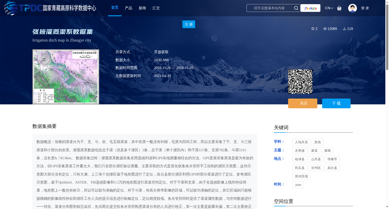
张掖灌溉渠系数据集
收藏国家青藏高原科学数据中心2021-04-19 更新2024-03-06 收录
下载链接:
https://data.tpdc.ac.cn/zh-hans/data/445d0919-f464-4c57-b7b9-3b83669b1d34
下载链接
链接失效反馈官方服务:
资源简介:
数据概况:张掖的渠道分为干、支、斗、农、毛五级渠道,其中农渠一般没有衬砌,毛渠为田间工程,所以主要采集了干、支、斗三级渠道和小部分的农渠。灌溉渠系数据包括总干渠(涉及多个灌区)2条,总干渠(单个灌区内)和干渠157条、支渠782条、斗渠5315条,总长度8, 745.0km。
数据采集过程:灌溉渠系数据采集采用遥感判读和GPS实地测量相结合的方法。GPS直接采集渠道是最为有效的方法,但GPS采集渠道工作量太大,我们只在部分灌区验证测量。主要采取的方式是首先收集各水管所手工绘制的灌区示意图,这些示意图大部分没有定位,只有大满、上三等个别灌区基于地形图进行了定位,高台县部分灌区利用GPS对部分渠道进行了定位。参考灌区示意图,基于Quikbird、ASTER、TM遥感影像和1:5万的地形图进行渠道空间定位。对于干渠和支渠,由于在遥感影像上线性特征明显,地形图上一般也有标示,所以可以较为准确的定位。对于斗渠,有高分辨率影像的区域,可以较为准确的定位,其它区域则只能根据模糊的影像线性特征和灌区工作人员的提示信息进行粗略定位,定位精度较低。各水管所同时提供了渠道属性数据,与空间数据进行一一对应。渠道分布图初稿完成后,先后两次提交给各水管所熟悉渠道分布的人员进行校正,第一次主要是剔重补漏,第二次主要校正位置和完善属性数据。
数据内容说明:属性表的字段包括编码、区县名、灌区名、渠道全程、渠道名、渠道类型、位置、总长度、已衬砌、设计流量、设计农田、设计林草、实灌农田、实灌林草、水权面积、备注。编码示例:G06G02Z15D01,其中前第1个字母代表县区名,第2和3个数字代表某县(区)编号,第4-6个字符代表干渠代码,第7-9个字符代表支渠代码,第10-12个字符代表斗渠代码。
Data Overview:
Canals in Zhangye are divided into five levels: main trunk (gan), branch (zhi), lateral (dou), farm (nong), and field (mao) canals. Most farm canals are not lined, and mao canals are field engineering works, so we mainly collected data from the three levels of gan, zhi, dou canals plus a small portion of farm canals. The collected irrigation canal system data consists of 2 main trunk canals covering multiple irrigation districts, 157 main trunk canals (within a single irrigation district) and primary canals, 782 branch canals, 5315 lateral canals, with a total length of 8,745.0 km.
Data Collection Process:
Irrigation canal system data was collected via a combination of remote sensing interpretation and on-site GPS surveying. While directly collecting canal data via GPS is the most effective method, it requires an extremely high workload, so we only conducted verification surveys in some irrigation districts. The primary workflow was as follows: first, we collected hand-drawn irrigation district schematic maps from each water management station. Most of these maps lacked georeferencing; only a few irrigation districts such as Daman and Shangsan had their maps georeferenced based on topographic maps, and some irrigation districts in Gaotai County had partial canals georeferenced using GPS. With reference to the irrigation district schematic maps, we performed spatial positioning of canals based on Quikbird, ASTER, TM remote sensing images and 1:50,000-scale topographic maps. For main canals and branch canals, their linear features are distinct on remote sensing images and they are generally marked on topographic maps, so accurate positioning can be achieved. For lateral canals, accurate positioning can be achieved in areas with high-resolution images; in other areas, only rough positioning can be performed based on vague linear features in the images and prompt information from irrigation district staff, resulting in relatively low positioning accuracy. Each water management station also provided canal attribute data, which was one-to-one matched with the spatial data. After the first draft of the canal distribution map was completed, it was submitted twice for correction to personnel familiar with canal distribution from each water management station. The first correction mainly focused on removing duplicate entries and supplementing missing data, while the second correction mainly adjusted positions and improved attribute data.
Data Content Description:
The fields in the attribute table include: "code", "district/county name", "irrigation district name", "full canal route", "canal name", "canal type", "location", "total length", "lined status", "designed discharge", "designed irrigated farmland area", "designed irrigated forest/grassland area", "actual irrigated farmland area", "actual irrigated forest/grassland area", "water right area", and "remarks". Example code: G06G02Z15D01. The first letter represents the district/county name, the 2nd and 3rd digits represent the number of a certain county/district, characters 4-6 represent the main canal code, characters 7-9 represent the branch canal code, and characters 10-12 represent the lateral canal code.
提供机构:
马明国
创建时间:
2013-07-20
搜集汇总
数据集介绍
背景与挑战
背景概述
张掖灌溉渠系数据集包含2018年采集的张掖市干、支、斗、农四级渠道的空间和属性数据,总长度8,745.0km。数据采用遥感判读和GPS实地测量相结合的方法采集,属性表包含编码、区县名、灌区名等字段,适用于水资源管理和灌溉渠系研究。
以上内容由遇见数据集搜集并总结生成


