浙江省2013-2017年10万森林植被类型遥感图像分类落界图
收藏国家林业和草原科学数据中心2021-09-30 更新2024-03-06 收录
下载链接:
https://www.forestdata.cn/dataDetail.html?id=CSTR:17575.11.0120210930021.010001.V1
下载链接
链接失效反馈官方服务:
资源简介:
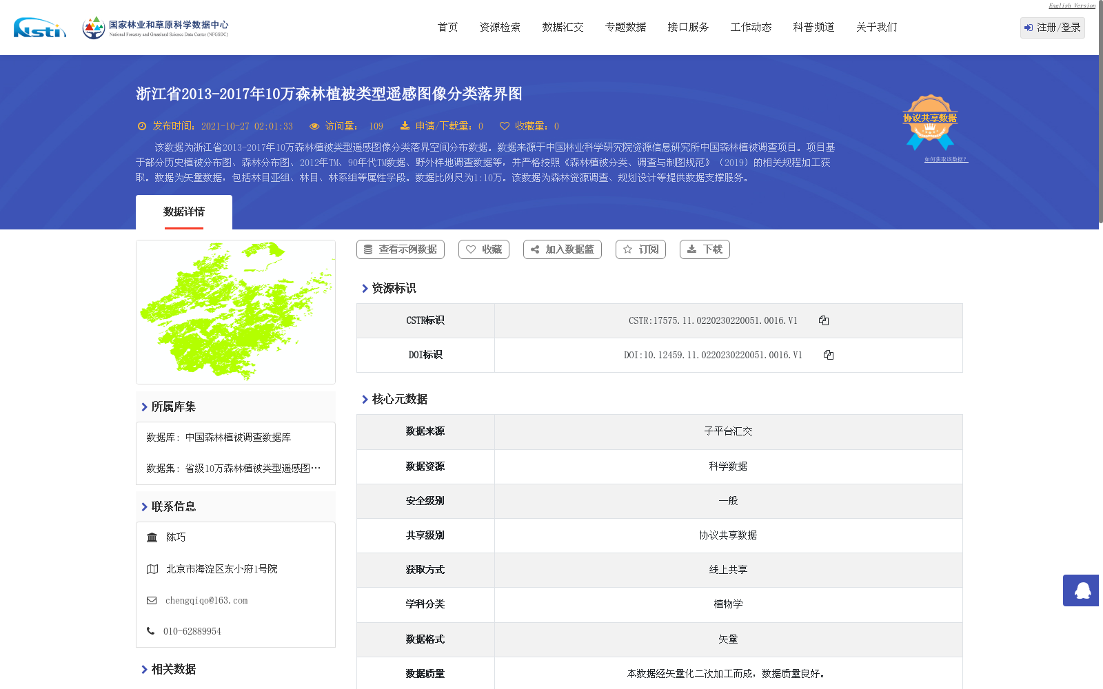
该数据为浙江省2013-2017年10万森林植被类型遥感图像分类落界空间分布数据。数据来源于中国林业科学研究院资源信息研究所中国森林植被调查项目。项目基于部分历史植被分布图、森林分布图、2012年TM、90年代TM数据、野外样地调查数据等,并严格按照《森林植被分类、调查与制图规范》(2019)的相关规程加工获取。数据为矢量数据,包括林目亚组、林目、林系组等属性字段。数据比例尺为1:10万。该数据为森林资源调查、规划设计等提供数据支撑服务。
This dataset is a spatial distribution dataset of classified forest vegetation type boundaries derived from remote sensing imagery, covering Zhejiang Province from 2013 to 2017 at a scale of 1:100,000. It was developed under the China Forest Vegetation Survey Project of the Research Institute of Forest Resources Information Techniques, Chinese Academy of Forestry. The project utilized partial historical vegetation distribution maps, forest distribution maps, TM imagery from 2012, TM imagery from the 1990s, field plot survey data, and other relevant datasets, and was processed strictly in accordance with the relevant regulations specified in the *Specification for Forest Vegetation Classification, Investigation and Mapping* (2019). The dataset is in vector format, with attribute fields including forest order subgroup, forest order, forest series group, and other relevant categories. It provides data support and services for forest resource inventory, planning and design, and other related applications.
提供机构:
国家林业和草原科学数据中心
创建时间:
2021-09-30
搜集汇总
数据集介绍
背景与挑战
背景概述
该数据集是浙江省2013-2017年森林植被类型的空间分布矢量数据,比例尺为1:10万,基于遥感影像和历史调查数据按规范加工而成,包含详细植被分类属性,旨在支持森林资源调查与规划。数据由中国林业科学研究院资源信息研究所提供,质量良好,适用于植物学研究和林业管理。
以上内容由遇见数据集搜集并总结生成


