华北平原冬小麦-夏玉米轮作农田通量观测数据集-清华大学位山(高营)站(2005-2006)
收藏国家青藏高原科学数据中心2021-08-31 更新2024-03-06 收录
下载链接:
https://data.tpdc.ac.cn/zh-hans/data/b47557eb-d59e-4830-96b4-8c7a5e9cf35a
下载链接
链接失效反馈官方服务:
资源简介:
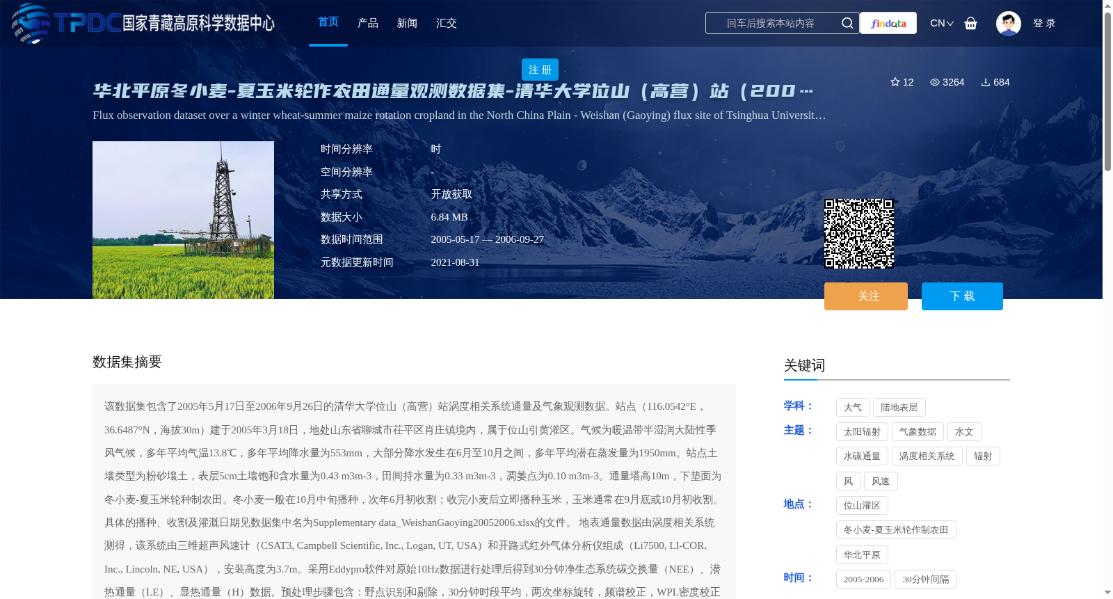
该数据集包含了2005年5月17日至2006年9月26日的清华大学位山(高营)站涡度相关系统通量及气象观测数据。站点(116.0542°E,36.6487°N,海拔30m)建于2005年3月18日,地处山东省聊城市茌平区肖庄镇境内,属于位山引黄灌区。气候为暖温带半湿润大陆性季风气候,多年平均气温13.8℃,多年平均降水量为553mm,大部分降水发生在6月至10月之间,多年平均潜在蒸发量为1950mm。站点土壤类型为粉砂壤土,表层5cm土壤饱和含水量为0.43 m3m-3,田间持水量为0.33 m3m-3,凋萎点为0.10 m3m-3。通量塔高10m,下垫面为冬小麦-夏玉米轮种制农田。冬小麦一般在10月中旬播种,次年6月初收割;收完小麦后立即播种玉米,玉米通常在9月底或10月初收割。具体的播种、收割及灌溉日期见数据集中名为Supplementary data_WeishanGaoying20052006.xlsx的文件。
地表通量数据由涡度相关系统测得,该系统由三维超声风速计(CSAT3, Campbell Scientific, Inc., Logan, UT, USA)和开路式红外气体分析仪组成(Li7500, LI-COR, Inc., Lincoln, NE, USA),安装高度为3.7m。采用Eddypro软件对原始10Hz数据进行处理后得到30分钟净生态系统碳交换量(NEE)、潜热通量(LE)、显热通量(H)数据。预处理步骤包含:野点识别和剔除,30分钟时段平均,两次坐标旋转,频谱校正,WPL密度校正并采用“0-1-2”方案对数据质量进行标记。对Eddypro处理后输出的30分钟通量值进行质量控制:(1)剔除标记为2的质量差的通量;(2)将H和LE分别限制在-200~500 W m-2和-200~800 W m-2的范围内;(3)剔除降雨时段的数据。之后,采用REddyproc软件对低湍流混合状况下的数据进行剔除(即根据摩擦风速u*对通量数据进行过滤),对数据序列中的空缺值进行插补,然后采用夜间分割法将NEE分割成生态系统呼吸(Reco)和总初级生产力(GPP)。
发布的观测数据包括:年(year),月(month),日(day),时间(time),大气压(P),红外地表温度(Tsurf),风速(Ws),风向(Wd),2m处空气温度(Tair)和相对湿度(rH),向下短波辐射(Rsd),向上短波辐射(Rsu),向下长波辐射(Rld),向上长波辐射(Rlu),净辐射(Rn),太阳光合有效辐射(PAR_dn),反射光合有效辐射(PAR_up),降雨量(precip),地下水位(GW),5cm/10cm/20cm/40cm/80cm/160cm土壤含水量(soil_VW_5cm/10cm/20cm/40cm/80cm/160cm)及土壤温度(soil_T_5cm/10cm/20cm/40cm/80cm/160cm),5cm深度处的土壤热通量(soil_G),净生态系统碳交换量原始值(NEE_raw),潜热通量原始值(LE_raw),显热通量原始值(H_raw),净生态系统碳交换量插补值(NEE_f),潜热通量插补值(LE_f),显热通量插补值(H_f),生态系统呼吸插补值(Reco_f),总初级生产力插补值(GPP_f)。数据均为30分钟时间间隔,以.xlsx格式存储。数据集中空值用NA表示。
具体的站点信息及观测仪器型号请参考Lei and Yang (2010a, 2010b)。
This dataset contains eddy covariance flux and meteorological observation data from the Weishan (Gaoying) Station of Tsinghua University, covering the period from May 17, 2005 to September 26, 2006. The station (116.0542°E, 36.6487°N, elevation 30 m) was established on March 18, 2005, and is located in Xiaozhuang Town, Chiping District, Liaocheng City, Shandong Province, belonging to the Weishan Yellow River Diversion Irrigation District. It has a warm-temperate semi-humid continental monsoon climate, with a mean annual air temperature of 13.8℃, mean annual precipitation of 553 mm (most precipitation occurs between June and October), and mean annual potential evapotranspiration of 1950 mm. The soil type at the station is silty loam; the saturated soil water content of the top 5 cm soil layer is 0.43 m³ m⁻³, field capacity is 0.33 m³ m⁻³, and wilting point is 0.10 m³ m⁻³. The flux tower stands at 10 m height, and the underlying surface is a winter wheat-summer maize rotation farmland. Winter wheat is usually sown in mid-October and harvested in early June of the following year; maize is sown immediately after wheat harvest, and typically harvested in late September or early October. Specific sowing, harvesting and irrigation dates are provided in the file named Supplementary data_WeishanGaoying20052006.xlsx in the dataset.
Surface flux data were measured by an eddy covariance system, which consists of a three-dimensional ultrasonic anemometer (CSAT3, Campbell Scientific, Inc., Logan, UT, USA) and an open-path infrared gas analyzer (Li7500, LI-COR, Inc., Lincoln, NE, USA), installed at a height of 3.7 m. Raw 10 Hz data were processed using EddyPro software to generate 30-minute net ecosystem exchange (NEE), latent heat flux (LE) and sensible heat flux (H) data. Preprocessing steps include: outlier identification and removal, 30-minute averaging, two coordinate rotations, spectral correction, WPL density correction, and data quality flagging using the "0-1-2" scheme. Quality control was then conducted on the 30-minute flux outputs from EddyPro: (1) remove flux data flagged as 2 (poor quality); (2) restrict H and LE to ranges of -200~500 W m⁻² and -200~800 W m⁻², respectively; (3) remove data during rainfall events. Subsequently, the REddyproc software was used to eliminate data under low turbulent mixing conditions (i.e., filter flux data based on friction velocity u*), fill missing values in the data sequence, and then partition NEE into ecosystem respiration (Reco) and gross primary productivity (GPP) using the nighttime partitioning method.
The released observation data include: year, month, day, time, atmospheric pressure (P), infrared surface temperature (Tsurf), wind speed (Ws), wind direction (Wd), air temperature and relative humidity at 2 m (Tair, rH), downward shortwave radiation (Rsd), upward shortwave radiation (Rsu), downward longwave radiation (Rld), upward longwave radiation (Rlu), net radiation (Rn), solar photosynthetically active radiation (PAR_dn), reflected photosynthetically active radiation (PAR_up), precipitation (precip), groundwater level (GW), soil volumetric water content and temperature at depths of 5 cm, 10 cm, 20 cm, 40 cm, 80 cm and 160 cm (soil_VW_5cm/10cm/20cm/40cm/80cm/160cm, soil_T_5cm/10cm/20cm/40cm/80cm/160cm), soil heat flux at 5 cm depth (soil_G), raw net ecosystem exchange (NEE_raw), raw latent heat flux (LE_raw), raw sensible heat flux (H_raw), gap-filled net ecosystem exchange (NEE_f), gap-filled latent heat flux (LE_f), gap-filled sensible heat flux (H_f), gap-filled ecosystem respiration (Reco_f), and gap-filled gross primary productivity (GPP_f). All data are stored at 30-minute intervals in .xlsx format, and missing values in the dataset are denoted by NA.
Specific station information and observation instrument models can be referenced in Lei and Yang (2010a, 2010b).
提供机构:
雷慧闽
创建时间:
2021-08-27
搜集汇总
数据集介绍
背景与挑战
背景概述
该数据集为清华大学位山(高营)站2005-2006年的农田通量观测数据,包含30分钟间隔的碳交换量、热通量及多种气象土壤参数,适用于农业气象和生态研究。
以上内容由遇见数据集搜集并总结生成


