2019-2020年度东南亚30m分辨率水田数据集
收藏地球大数据科学工程2024-04-21 收录
下载链接:
https://data.casearth.cn/sdo/detail/6538943c819aec0f260957a3
下载链接
链接失效反馈官方服务:
资源简介:
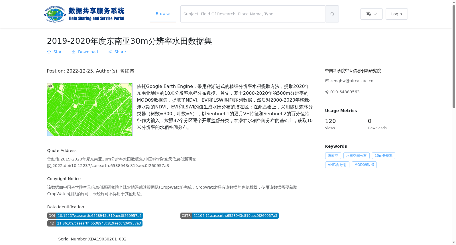
依托Google Earth Engine,采用种渐进式的精细分辨率水稻提取方法,提取2020年东南亚地区的10米分辨率水稻分布数据。首先,基于2000-2020年的500m分辨率的MOD09数据集,提取了NDVI、EVI和LSWI时间序列数据,然后对2000-2020年移栽-淹水期的NDVI、EVI和LSWI的值生成水田分布的潜在区;在此基础上,采用随机森林分类器(树数=300,叶数=5),以Sentinel-1的逐月VH特征和Sentinel-2的百分位特征作为输入,按照37个分区逐个开展监督分类,在潜在水稻空间分布的基础上,获取10米分辨率的水稻空间分布。
Based on Google Earth Engine, we produced 10-meter resolution rice distribution data for Southeast Asia in 2020 using a progressive high-resolution rice extraction method. First, we extracted time-series datasets of Normalized Difference Vegetation Index (NDVI), Enhanced Vegetation Index (EVI), and Land Surface Water Index (LSWI) based on the 500-meter resolution MOD09 dataset from 2000 to 2020. Next, we generated potential rice paddy distribution areas using the NDVI, EVI, and LSWI values during the transplanting-flooding period from 2000 to 2020. Subsequently, we conducted supervised classification individually for each of the 37 zoning regions using a random forest classifier (with 300 decision trees and 5 leaf nodes per tree), taking monthly VH features from Sentinel-1 and percentile features from Sentinel-2 as input. Finally, we obtained the 10-meter resolution spatial distribution of rice based on the acquired potential rice spatial distribution.
提供机构:
中国科学院空天信息创新研究院
搜集汇总
数据集介绍
背景与挑战
背景概述
该数据集是2019-2020年度东南亚地区的10米分辨率水田分布数据,采用渐进式精细分辨率水稻提取方法,结合多源遥感数据和随机森林分类器生成。数据由中国科学院空天信息创新研究院制作,存储容量为2.11 GB,包含952个GeoTiff格式文件。
以上内容由遇见数据集搜集并总结生成


