柯岗断裂1米分辨率遥感影像数据(2024)
收藏国家青藏高原科学数据中心2025-01-08 更新2025-02-22 收录
下载链接:
https://data.tpdc.ac.cn/zh-hans/data/a5039379-2eb3-407a-a4dd-f5710ef636a5
下载链接
链接失效反馈官方服务:
资源简介:
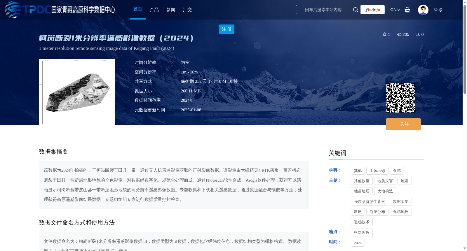
该数据为2024年拍摄的,于柯岗断裂于田县一带,通过无人机遥感影像获取的正射影像数据。该影像由大疆精灵4 RTK采集,覆盖柯岗断裂于田县一带断层地形地貌的全色影像,对数据经数字化、规范化处理而成。通过Photoscan软件合成、Arcgis软件处理,获得可以清晰显示柯岗断裂带皮山县一带断层地形地貌的高分辨率遥感影像数据。专题收集和下载相关遥感数据,通过数据融合与镶嵌等方法,处理获得高原遥感影像结果数据,专题组组织专家进行数据质量把控检查。
This dataset comprises orthophoto imagery acquired via unmanned aerial vehicle (UAV) remote sensing in the Yutian County segment of the Kanggong Fault, captured in 2024. The panchromatic imagery, which covers the fault-related topography and geomorphology of this segment, was collected using a DJI Phantom 4 RTK, and the raw data underwent digitalization and standardized processing to generate this imagery. High-resolution remote sensing imagery that clearly displays the fault topography and geomorphology in the Pishan County segment of the Kanggong Fault zone was synthesized via Photoscan software and processed using ArcGIS software. Additionally, relevant remote sensing data was thematically collected and downloaded, then processed through methods including data fusion and mosaicking to produce plateau remote sensing imagery results. The thematic research team organized experts to conduct data quality control inspections.
提供机构:
吴传勇
创建时间:
2025-01-03
搜集汇总
数据集介绍
背景与挑战
背景概述
该数据集是2024年通过无人机遥感获取的柯岗断裂于田县一带的1米分辨率正射影像数据,采用大疆精灵4 RTK采集,经专业软件处理后形成高分辨率栅格tif文件,适用于地质和地震研究。
以上内容由遇见数据集搜集并总结生成


