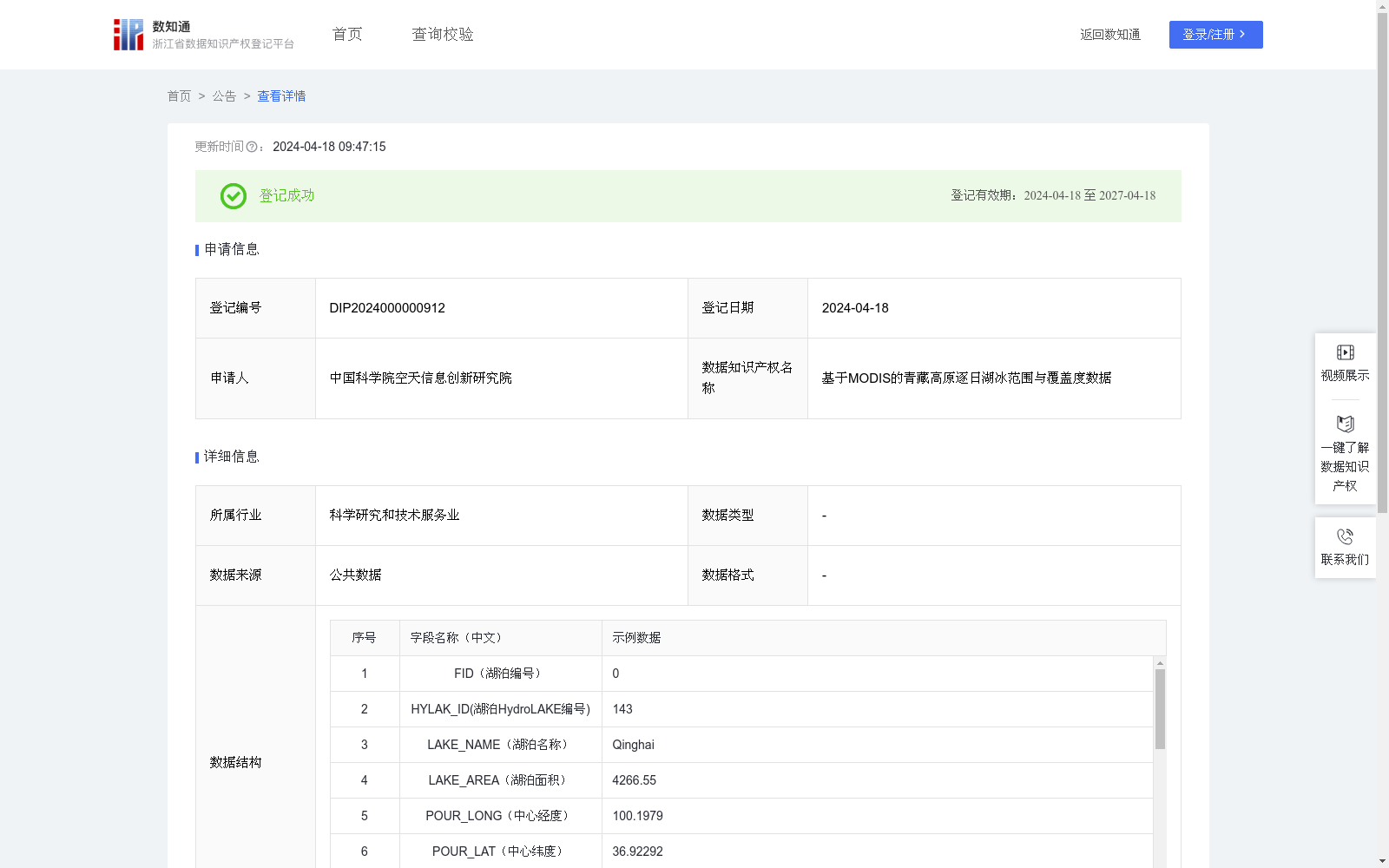
基于MODIS的青藏高原逐日湖冰范围与覆盖度数据
收藏浙江省数据知识产权登记平台2024-04-18 更新2024-05-08 收录
下载链接:
https://www.zjip.org.cn/home/announce/trends/32541
下载链接
链接失效反馈官方服务:
资源简介:
青藏高原湖泊众多,该地区湖冰的物候和持续时间对区域和全球气候变化非常敏感。然而,由于该地区自然环境恶劣、人口稀少,缺乏对湖冰物候的常规实地测量。随着遥感数据的不断积累,为长时间序列湖冰信息的获取及回溯提供了重要的数据源,特别是光学遥感具有高时空分辨率的优点。该数据集可为青藏高原地区气候、水文和生态等研究提供陆地水体冻融状态及变化数据,支撑地球三极变化特征分析,是开展三极时空多样性、相互关联性和遥相关机制研究的数据基础。针对上午星MODIS/Terra积雪数据(MOD10A1)和下午星MODIS/Aqua数据(MYD10A1)(MOD10A1与MYD10A1数据为可公开下载的遥感产品数据,可从美国国家冰雪数据中心下载:http://nsidc.org),利用SNOWMAP算法对晴空条件下的湖泊像元进行湖冰、湖水的识别,获取湖泊像元冻融信息(即湖冰像元与湖水像元)。针对被云覆盖的湖泊像元,则基于湖泊表面冻结状态的时空连续性对其进行去云处理,具体操作包括上下午合成去云、连续三天合成去云、临近像元法合成去云以及连续五天合成去云。针对单个湖泊计算湖冰覆盖率、湖水覆盖率与云覆盖率,针对剩余的云覆盖,按照湖冰与湖水的比例关系进行分配,得到归一处理后的湖冰与湖水覆盖率。
The Tibetan Plateau is home to numerous lakes, and the phenology and duration of lake ice in this region are highly sensitive to regional and global climate change. However, due to the harsh natural environment and sparse population, there is a lack of regular in-situ measurements of lake ice phenology. The continuous accumulation of remote sensing data has provided a critical data source for acquiring and retrieving long-time series lake ice information, particularly optical remote sensing, which offers high spatiotemporal resolution. This dataset can provide data on the freeze-thaw status and changes of terrestrial water bodies for climate, hydrological and ecological studies in the Tibetan Plateau, support the analysis of change characteristics of the Earth's Three Poles, and serve as the foundational data for researching the spatiotemporal diversity, interconnectedness and teleconnection mechanisms of the Three Poles. For the morning satellite MODIS/Terra snow cover product (MOD10A1) and afternoon satellite MODIS/Aqua snow cover product (MYD10A1) — both MOD10A1 and MYD10A1 are publicly available remote sensing products that can be downloaded from the National Snow and Ice Data Center at http://nsidc.org — the SNOWMAP algorithm was applied to distinguish lake ice and open water pixels under clear-sky conditions, thereby obtaining the freeze-thaw information of lake pixels (i.e., lake ice pixels and open water pixels). For cloud-covered lake pixels, cloud removal processing was conducted based on the spatiotemporal continuity of the lake surface freeze-thaw status. The specific operations include morning-afternoon synthesis cloud removal, 3-day consecutive synthesis cloud removal, neighboring pixel method synthesis cloud removal, and 5-day consecutive synthesis cloud removal. The lake ice coverage rate, open water coverage rate and cloud coverage rate were calculated for each individual lake. For the remaining cloud cover, it was allocated proportionally based on the ratio of lake ice to open water to yield the normalized lake ice and open water coverage rates.
提供机构:
中国科学院空天信息创新研究院
创建时间:
2024-04-03
搜集汇总
数据集介绍
特点
该数据集是基于MODIS遥感数据,提供青藏高原湖泊的逐日湖冰范围与覆盖度信息,包含湖泊编号、名称、面积、中心经纬度、湖泊类型、湖冰与湖水像元数量、覆盖率等字段,共6412条记录。主要用于青藏高原地区气候、水文和生态研究,支持地球三极变化特征分析。
以上内容由遇见数据集搜集并总结生成


