青藏高原藏南吉隆GPS测量数据
收藏国家青藏高原科学数据中心2024-11-06 更新2024-11-30 收录
下载链接:
https://data.tpdc.ac.cn/zh-hans/data/2ab70efb-a343-4090-951a-d8cd137d544f
下载链接
链接失效反馈官方服务:
资源简介:
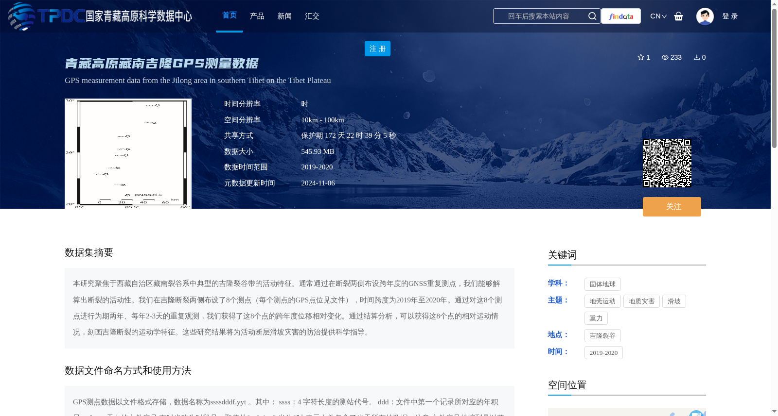
本研究聚焦于西藏自治区藏南裂谷系中典型的吉隆裂谷带的活动特征。通常通过在断裂两侧布设跨年度的GNSS重复测点,我们能够解算出断裂的活动性。我们在吉隆断裂两侧布设了8个测点(每个测点的GPS点位见文件),时间跨度为2019年至2020年。通过对这8个测点进行为期两年、每年2-3天的重复观测,我们获得了这8个点的跨年度位移相对变化。通过结算分析,可以获得这8个点的相对运动情况,刻画吉隆断裂的运动学特征。这些研究结果将为活动断层滑坡灾害的防治提供科学指导。
This study focuses on the activity characteristics of the typical Gyirong Rift Belt within the South Tibetan Rift System of the Tibet Autonomous Region. Generally, by deploying inter-annual repeated GNSS monitoring stations on both sides of a fault, we can derive the fault's activity features via data solution and analysis. We deployed 8 survey stations on both sides of the Gyirong Fault, with the GPS coordinates of each station documented in the accompanying file, and the monitoring period spanned from 2019 to 2020. Through repeated observations of these 8 stations over a two-year period, with 2 to 3 days of field work conducted each year, we obtained the relative inter-annual displacement changes of the 8 stations. Through subsequent data processing and analysis, we can acquire the relative motion states of these stations and characterize the kinematic features of the Gyirong Fault. These research results will provide scientific guidance for the prevention and control of landslide disasters induced by active faults.
提供机构:
何建坤
创建时间:
2024-10-31
搜集汇总
数据集介绍
背景与挑战
背景概述
该数据集包含2019年至2020年在青藏高原藏南吉隆裂谷带布设的8个GPS测点的重复观测数据,用于分析断裂活动性和运动学特征,旨在为活动断层滑坡灾害防治提供科学依据。数据具有时间分辨率以小时计、空间分辨率在10公里至100公里之间,总大小约545.93 MB,并通过国家科技重大专项资助。
以上内容由遇见数据集搜集并总结生成


