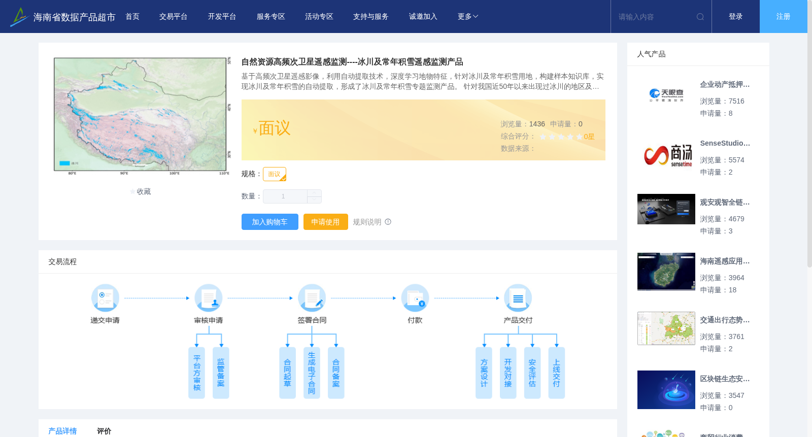
自然资源高频次卫星遥感监测----冰川及常年积雪遥感监测产品
收藏海南省数据产品超市2023-07-24 更新2024-03-01 收录
下载链接:
https://www.datadex.cn/app/buyApi?id=6ff39b892b51439ca544666182206d6c
下载链接
链接失效反馈官方服务:
资源简介:
基于高频次卫星遥感影像,利用自动提取技术,深度学习地物特征,针对冰川及常年积雪用地,构建样本知识库,实现冰川及常年积雪的自动提取,形成了冰川及常年积雪专题监测产品。
针对我国近50年以来出现过冰川的地区及周边区域,包括:新疆、西藏、青海、甘肃、四川和云南六个省区,监测面积约71万km²,利用亚米、2米、10米、30米多尺度遥感数据以及10米数字地形模型(DSM)等数据资源,每年开展一次,监测面积 > 1000m²的冰川及常年积雪的面积、分布现状和变化信息的监测,形成冰川及常年积雪遥感监测信息产品。
Based on high-temporal-resolution satellite remote sensing images, automatic extraction technologies and deep learning-driven land feature extraction are employed to construct a sample knowledge base targeting glaciers and permanent snow-covered areas, realize the automatic extraction of such features, and develop thematic monitoring products for glaciers and permanent snow-covered areas. This dataset targets all regions and their surrounding areas in China where glaciers have been documented over the past 50 years, covering six provincial-level administrative divisions: Xinjiang Uygur Autonomous Region, Tibet Autonomous Region, Qinghai Province, Gansu Province, Sichuan Province and Yunnan Province, with a total monitoring coverage of approximately 710,000 km². Multi-scale remote sensing data with resolutions of sub-meter, 2 m, 10 m and 30 m, as well as 10-meter digital surface model (DSM) and other geospatial data resources, are utilized to conduct annual monitoring of the area, current distribution and change information of glaciers and permanent snow-covered areas with an area exceeding 1000 m², ultimately producing remote sensing monitoring information products for glaciers and permanent snow-covered areas.
提供机构:
北京四维空间数码科技有限公司
创建时间:
2023-07-24
搜集汇总
数据集介绍
背景与挑战
背景概述
该数据集基于多尺度遥感数据,采用自动提取技术对我国新疆等六省区的冰川及常年积雪进行年度监测,覆盖面积约71万平方公里,可获取面积超过1000平方米的冰川积雪分布及变化信息。
以上内容由遇见数据集搜集并总结生成


