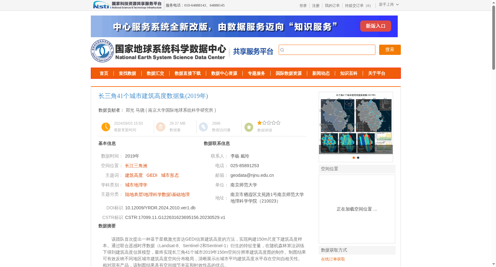
长三角41个城市建筑高度数据集(2019年)
收藏资源简介:
该团队首次提出一种基于星载激光雷达GEDI估算建筑高度的方法,实现构建150m尺度下建筑高度样本。通过联合遥感时序数据(Landsat-8、Sentinel-2和Sentinel-1)衍生的特征变量,在随机森林算法训练下得到建筑高度估算模型,最终实现长三角41个城市2019年150m空间分辨率建筑高度图的制作。制图结果可有效反映不同地区城市建筑高度空间分布格局,清晰展示出城市平均建筑高度水平存在空间自相关性。相对现有产品,该制图结果具有空间细节丰富和时效性高的优点。
This team proposes for the first time a method for estimating building height using spaceborne lidar GEDI, enabling the generation of building height samples at a 150-meter scale. By incorporating feature variables derived from combined remote sensing time-series data including Landsat-8, Sentinel-2 and Sentinel-1, a building height estimation model was trained via the random forest algorithm. Finally, 150-meter spatial resolution building height maps were produced for 41 cities in the Yangtze River Delta in 2019. The mapping results effectively reflect the spatial distribution patterns of urban building heights across different regions, and clearly demonstrate the spatial autocorrelation of urban average building height levels. Compared with existing products, this mapping product boasts rich spatial details and high timeliness.