长江1:25万二级流域范围数据(2012)
收藏国家地球系统科学数据中心2017-03-08 更新2024-03-04 收录
下载链接:
https://www.geodata.cn/data/datadetails.html?dataguid=109240577758103&docId=30003
下载链接
链接失效反馈官方服务:
资源简介:
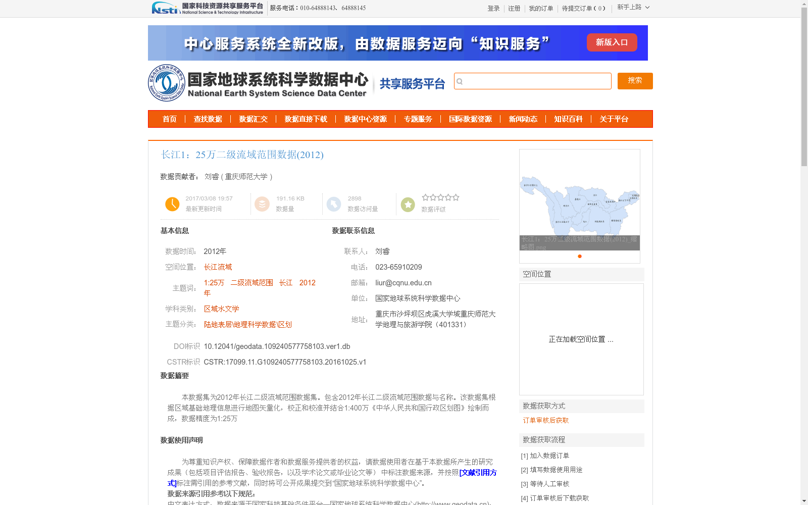
本数据集为2012年长江二级流域范围数据集。包含2012年长江二级流域范围数据与名称。该数据集根据区域基础地理信息进行地图矢量化,校正和校准并结合1:400万《中华人民共和国行政区划图》绘制而成,数据精度为1:25万
This dataset is the 2012 Yangtze River secondary basin boundary dataset. It includes the boundary extents and corresponding names of the Yangtze River secondary basins in 2012. This dataset was developed through map vectorization, correction and calibration based on regional basic geographic information, and compiled in combination with the 1:4,000,000-scale Administrative Division Map of the People's Republic of China, with a data scale of 1:250,000.
提供机构:
重庆师范大学
创建时间:
2016-10-25
搜集汇总
数据集介绍
背景与挑战
背景概述
该数据集是2012年长江流域的二级流域范围矢量数据,比例尺为1:25万,基于区域基础地理信息矢量化并结合1:400万行政区划图制作而成,数据精度高,适用于区域水文学和地理科学领域的区划研究。
以上内容由遇见数据集搜集并总结生成


