ArcLeads: Daily sea-ice lead maps for the Arctic, 2002-2021, NOV-APR
收藏Mendeley Data2024-02-22 更新2024-06-30 收录
下载链接:
https://doi.pangaea.de/10.1594/PANGAEA.955561
下载链接
链接失效反馈官方服务:
资源简介:
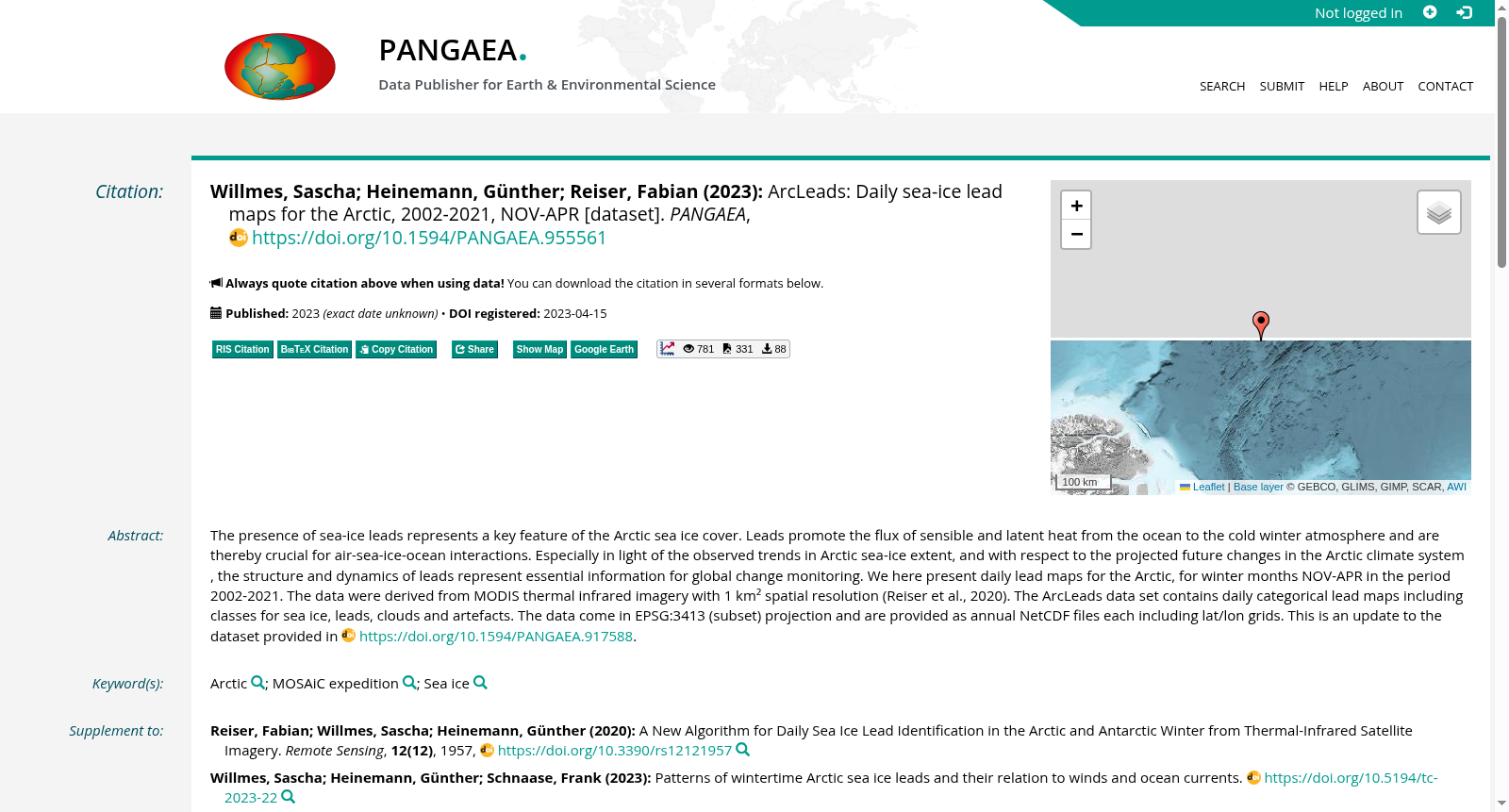
The presence of sea-ice leads represents a key feature of the Arctic sea ice cover. Leads promote the flux of sensible and latent heat from the ocean to the cold winter atmosphere and are thereby crucial for air-sea-ice-ocean interactions. Especially in light of the observed trends in Arctic sea-ice extent, and with respect to the projected future changes in the Arctic climate system , the structure and dynamics of leads represent essential information for global change monitoring. We here present daily lead maps for the Arctic, for winter months NOV-APR in the period 2002-2021. The data were derived from MODIS thermal infrared imagery with 1 km² spatial resolution (Reiser et al., 2020). The ArcLeads data set contains daily categorical lead maps including classes for sea ice, leads, clouds and artefacts. The data come in EPSG:3413 (subset) projection and are provided as annual NetCDF files each including lat/lon grids. This is an update to the dataset provided in https://doi.org/10.1594/PANGAEA.917588.
海冰冰间水道(sea-ice leads)的存在是北极海冰覆盖的关键特征。冰间水道可促进海洋向寒冷冬季大气输送感热与潜热,因此对海-冰-气-洋相互作用至关重要。鉴于北极海冰范围的观测变化趋势,以及北极气候系统未来的预估变化,冰间水道的结构与动力学特征更是全球变化监测的核心信息。本研究发布了2002-2021年冬季(11月至次年4月)的北极逐日冰间水道分布图。该数据集源自空间分辨率为1 km²的中分辨率成像光谱仪(MODIS)热红外影像(Reiser等,2020)。ArcLeads数据集包含逐日分类冰间水道图,类别涵盖海冰、冰间水道、云与遥感伪影。数据采用EPSG:3413(子集)投影格式,以年度网络通用数据格式(NetCDF)文件形式提供,每个文件均包含经纬度网格。本数据集是对https://doi.org/10.1594/PANGAEA.917588中发布的原有数据集的更新版本。
创建时间:
2024-02-22
搜集汇总
数据集介绍
背景与挑战
背景概述
ArcLeads数据集提供了2002-2021年北极地区冬季(11月至次年4月)的每日海冰裂缝地图,基于MODIS热红外影像(1 km²分辨率),包含海冰、裂缝等分类信息,以NetCDF格式存储。该数据集对于研究北极气候系统的变化和海冰动力学具有重要意义。
以上内容由遇见数据集搜集并总结生成


