青藏高原1km分辨率多情景土地覆被数据集(2020-2050)
收藏国家青藏高原科学数据中心2023-12-18 更新2024-03-01 收录
下载链接:
https://data.tpdc.ac.cn/zh-hans/data/abb3179a-ad1e-4e10-b237-af91e808ed52
下载链接
链接失效反馈官方服务:
资源简介:
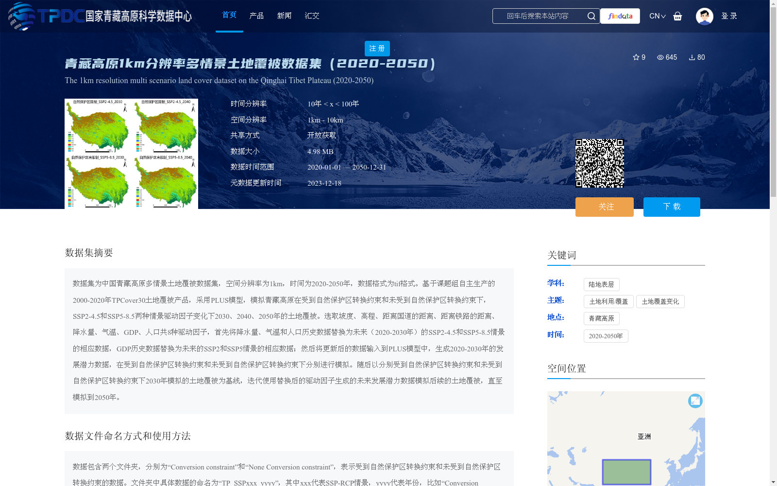
数据集为中国青藏高原多情景土地覆被数据集,空间分辨率为1km,时间为2020-2050年,数据格式为tif格式。基于课题组自主生产的2000-2020年TPCover30土地覆被产品,采用PLUS模型,模拟青藏高原在受到自然保护区转换约束和未受到自然保护区转换约束下,SSP2-4.5和SSP5-8.5两种情景驱动因子变化下2030、2040、2050年的土地覆被。选取坡度、高程、距离国道的距离、距离铁路的距离、降水量、气温、GDP、人口共8种驱动因子,首先将降水量、气温和人口历史数据替换为未来(2020-2030年)的SSP2-4.5和SSP5-8.5情景的相应数据,GDP历史数据替换为未来的SSP2和SSP5情景的相应数据;然后将更新后的数据输入到PLUS模型中,生成2020-2030年的发展潜力数据,在受到自然保护区转换约束和未受到自然保护区转换约束下分别进行模拟。随后以分别受到自然保护区转换约束和未受到自然保护区转换约束下2030年模拟的土地覆被为基线,迭代使用替换后的驱动因子生成的未来发展潜力数据模拟后续的土地覆被,直至模拟到2050年。
This dataset is the multi-scenario land cover dataset of the Qinghai-Tibet Plateau, China, with a spatial resolution of 1 km and spanning the period from 2020 to 2050, stored in TIFF format. Based on the independently developed TPCover30 land cover product (2000–2020) produced by the research group, the PLUS model was utilized to simulate land cover conditions in the Qinghai-Tibet Plateau for 2030, 2040 and 2050 under two Shared Socioeconomic Pathway (SSP) scenarios: SSP2-4.5 and SSP5-8.5, with and without natural reserve conversion constraints respectively, where driving factors vary across the scenarios. A total of 8 driving factors were selected, including slope, elevation, distance to national highways, distance to railways, precipitation, air temperature, GDP and population. First, historical data of precipitation, air temperature and population were replaced with corresponding future data under SSP2-4.5 and SSP5-8.5 scenarios for the 2020–2030 period, while historical GDP data were replaced with corresponding future data under SSP2 and SSP5 scenarios. Subsequently, the updated driving factor dataset was input into the PLUS model to generate development potential data for 2020–2030, and simulations were carried out separately with and without natural reserve conversion constraints. Thereafter, taking the simulated 2030 land cover under the two constraint conditions as the baseline, subsequent land cover changes were simulated iteratively using the future development potential data generated from the updated driving factors, until the simulation reached the year 2050.
提供机构:
刘焱序,韩宇,张晶
创建时间:
2023-12-16
搜集汇总
数据集介绍
背景与挑战
背景概述
该数据集提供了中国青藏高原2020-2050年1km分辨率的多情景土地覆被数据,模拟了SSP2-4.5和SSP5-8.5两种情景下受和未受自然保护区转换约束的土地覆被变化。数据格式为tif,适用于土地利用/覆盖变化研究。
以上内容由遇见数据集搜集并总结生成


