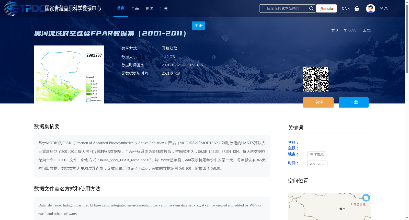
黑河流域时空连续FPAR数据集(2001-2011)
收藏资源简介:
基于MODIS的FPAR(Fraction of Absorbed Photosynthetically Active Radiation)产品(MCD15A2和MOD15A2)利用改进的HANTS算法去云重建得到了2001-2011每天黑河流域FPAR数据集。产品坐标系统为经纬度投影,空间范围为:96.5E-102.5E, 37.5N-43N。每天的数据存储为一个GEOTIFF文件,命名方式:heihe_yyyy_FPAR_recon.ddd.tif,其中yyyy是年份,ddd表示特定年份中的某一天。每年默认有365天的输出数据。数据类型为单精度浮点型,无效值像元填充值为255,有效的数据范围为0-100,缩放因子为0.01。
The daily FPAR (Fraction of Absorbed Photosynthetically Active Radiation) dataset of the Heihe River Basin spanning 2001 to 2011 was developed via cloud removal and reconstruction using the improved HANTS algorithm, based on MODIS FPAR products (MCD15A2 and MOD15A2). The coordinate reference system of the dataset is geographic latitude-longitude projection, with a spatial extent of 96.5°E to 102.5°E and 37.5°N to 43°N. Daily data is stored as individual GeoTIFF files, following the naming convention: heihe_yyyy_FPAR_recon.ddd.tif, where yyyy denotes the 4-digit year and ddd represents the day-of-year (DOY) of the corresponding year. A total of 365 daily output files are provided per year by default. The data type is single-precision floating-point. The fill value for invalid pixels is 255, the valid data range is 0–100, and the scaling factor is 0.01.