黄土高原侵蚀产沙来源与主要产沙区数据集(1955-1969年)
收藏国家地球系统科学数据中心2024-11-29 更新2024-11-30 收录
下载链接:
https://www.geodata.cn/data/datadetails.html?dataguid=179850535300386&docId=2097
下载链接
链接失效反馈官方服务:
资源简介:
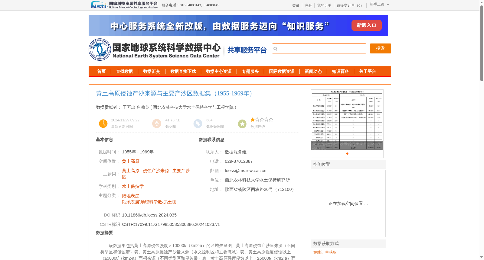
该数据集包括黄土高原侵蚀强度>10000t/(km2·a)的区域矢量图、黄土高原侵蚀产沙量来源(不同类型区和侵蚀带)表、黄土高原侵蚀产沙量来源(水文控制区和主要流域)表、黄土高原强度侵蚀以上(≥5000t/(km2·a)面积来源(不同类型区和侵蚀带)表、黄土高原强度侵蚀以上(≥5000t/(km2·a)面积来源(水文控制区和主要流域)表、黄土高原重点侵蚀产沙区(侵蚀强度≥10000t/(km2·a))表。此数据集来自王万忠等编著由科学出版社出版的《黄土高原降雨侵蚀产沙与水土保持减沙》。此数据可供水文、水利、水土保持、生态、环境、农业、国土整治等有关研究、教学、和各级管理人员参考此数据可供水文、水利、水土保持、生态、环境、农业、国土整治等有关研究、教学、和各级管理人员参考。
This dataset includes vector maps of areas on the Loess Plateau with soil erosion intensity greater than 10000 t/(km²·a), tables of sediment yield sources from the Loess Plateau classified by different regional types and erosion zones, tables of sediment yield sources from the Loess Plateau classified by hydrological control zones and major river basins, tables of the area with severe erosion or above (≥5000 t/(km²·a)) on the Loess Plateau classified by different regional types and erosion zones, tables of the area with severe erosion or above (≥5000 t/(km²·a)) on the Loess Plateau classified by hydrological control zones and major river basins, and tables of key sediment-yielding erosion areas on the Loess Plateau (with erosion intensity ≥10000 t/(km²·a)). This dataset is compiled from the book *Rainfall Erosion, Sediment Yield and Soil and Water Conservation Sediment Reduction on the Loess Plateau* edited by Wang Wanzhong et al. and published by Science Press. This dataset can serve as a reference for researchers, educators and management personnel at all levels engaged in hydrology, water conservancy, soil and water conservation, ecology, environment, agriculture, land consolidation and other related fields.
提供机构:
西北农林科技大学水土保持科学与工程学院
创建时间:
2024-10-23
搜集汇总
数据集介绍
背景与挑战
背景概述
该数据集包含1955-1969年间黄土高原侵蚀产沙来源与主要产沙区的详细数据,包括侵蚀强度区域矢量图、产沙量来源表等,来源于王万忠等编著的《黄土高原降雨侵蚀产沙与水土保持减沙》。数据适用于水文、水利、水土保持等相关领域的研究和管理工作。
以上内容由遇见数据集搜集并总结生成


