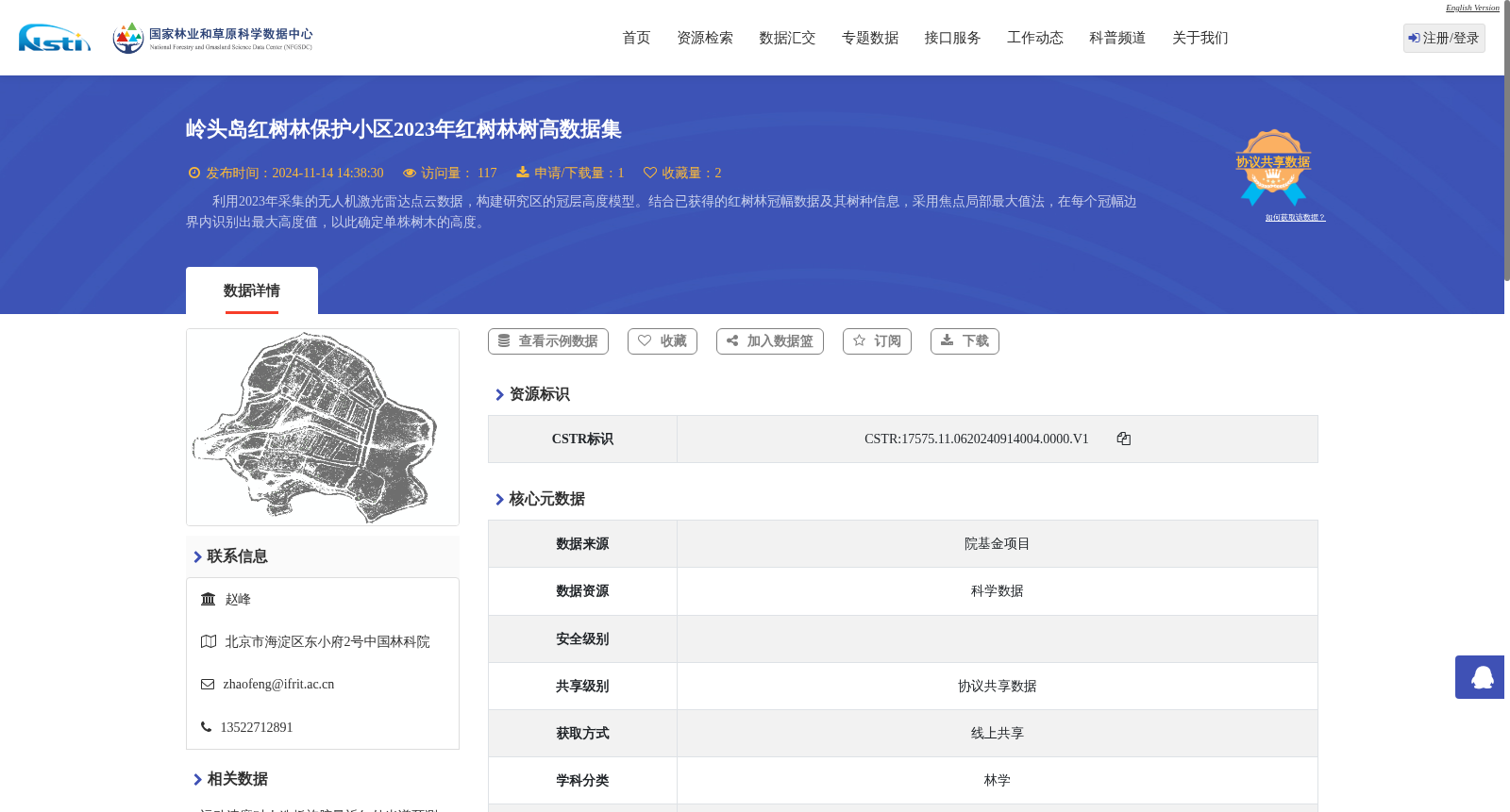
岭头岛红树林保护小区2023年红树林树高数据集
收藏国家林业和草原科学数据中心2024-09-13 更新2024-11-16 收录
下载链接:
https://www.forestdata.cn/dataDetail.html?id=4a10112a-1069-4cf9-ba86-427d215c9fc0
下载链接
链接失效反馈官方服务:
资源简介:
利用2023年采集的无人机激光雷达点云数据,构建研究区的冠层高度模型。结合已获得的红树林冠幅数据及其树种信息,采用焦点局部最大值法,在每个冠幅边界内识别出最大高度值,以此确定单株树木的高度。
Using unmanned aerial vehicle (UAV) light detection and ranging (LiDAR) point cloud data collected in 2023, a canopy height model of the study area was constructed. Combined with the obtained mangrove crown width data and tree species information, the focal local maximum method was adopted to identify the maximum height value within each crown boundary, thereby determining the height of individual trees.
提供机构:
国家林业和草原科学数据中心
创建时间:
2024-09-13
搜集汇总
数据集介绍
背景与挑战
背景概述
该数据集包含2023年广东省湛江市岭头岛红树林保护小区的红树林树高数据,通过无人机激光雷达点云数据构建冠层高度模型,结合红树林冠幅和树种信息,采用焦点局部最大值法确定单株树木高度。数据格式为矢量,数据量为162.96 MB,共享级别为协议共享数据。
以上内容由遇见数据集搜集并总结生成


