祁连山重点区域DEM数据集 (2018)
收藏地球大数据科学工程2024-04-26 收录
下载链接:
https://data.casearth.cn/sdo/detail/5feae826819aec33049b7cc8
下载链接
链接失效反馈官方服务:
资源简介:
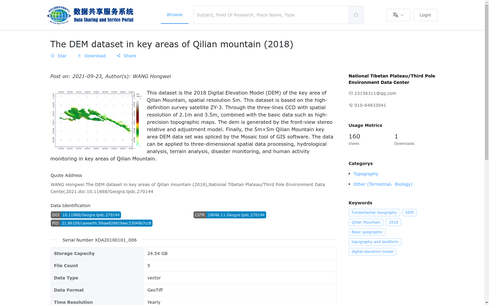
本数据集为祁连山重点区域2018年数字高程模型(DEM)数据集,空间分辨率5m。本数据集基于高分辨率立体测绘卫星资源三号数据,通过空间分辨率为2.1m(正视)和3.5m(后视)的三线阵立体CCD测绘数据,并结合高精度地形图等基础资料,利用前后视立体相对及平差模型提取祁连山重点区域DEM数据,最后通过GIS软件的Mosaic工具拼接成的5m×5m的祁连山重点区域DEM数据集。该数据能够应用于祁连山重点区域开展三维空间数据处理、水文分析、地形分析、灾害监测、人类活动监测等。
This dataset is the 2018 Digital Elevation Model (DEM) dataset for key areas of the Qilian Mountains, with a spatial resolution of 5 meters. It was developed using data from the high-resolution stereoscopic survey satellite ZY-3 (Zi Yuan 3). Specifically, DEM data of the key Qilian Mountain areas were extracted via three-line array stereoscopic CCD survey data with spatial resolutions of 2.1 m (nadir view) and 3.5 m (backward view), combined with basic reference materials such as high-precision topographic maps, using forward and backward stereopairs and adjustment models. The final 5 m × 5 m DEM dataset for the key Qilian Mountain areas was obtained by mosaicking with the Mosaic tool in geographic information system (GIS) software. This dataset can be applied to three-dimensional spatial data processing, hydrological analysis, topographic analysis, disaster monitoring, human activity monitoring and other related applications in key areas of the Qilian Mountains.
提供机构:
国家青藏高原科学数据中心搜集汇总
数据集介绍
背景与挑战
背景概述
该数据集是2018年祁连山重点区域的数字高程模型(DEM),空间分辨率为5米,基于资源三号(ZY-3)卫星的高分辨率影像生成,适用于三维空间处理、水文和地形分析、灾害监测等应用。数据覆盖东经103.76°至94.76°、北纬36.49°至39.83°的地理范围,存储格式为GeoTiff,总容量24.54 GB,具有高精度和实用性。
以上内容由遇见数据集搜集并总结生成

暂无相关数据集


