中国近海海水养殖数据集(2018年)
收藏国家地球系统科学数据中心2021-10-26 更新2024-03-04 收录
下载链接:
https://www.geodata.cn/data/datadetails.html?dataguid=98392255867795&docId=10615
下载链接
链接失效反馈官方服务:
资源简介:
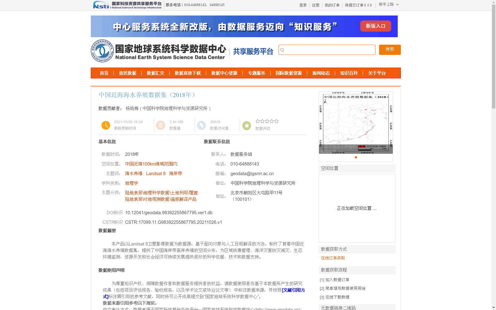
本产品以Landsat 8卫星影像数据为数据源,基于面向对象与人工目视解译的方法,制作了首套中国近海海水养殖数据集,提供了中国海岸带离岸养殖的空间分布,为区域统筹管理、海洋灾害防灾减灾、生态环境监测、资源开发和社会经济可持续发展提供很好的科学依据、技术和数据支持。
This dataset, using Landsat 8 satellite imagery as the data source and developed through object-oriented and manual visual interpretation methods, is the first offshore mariculture dataset for China's coastal waters. It provides the spatial distribution of offshore mariculture activities in China's coastal zones, offering robust scientific basis, technical support and data assistance for regional integrated management, marine disaster prevention and mitigation, ecological environment monitoring, resource exploitation, and sustainable socio-economic development.
提供机构:
中国科学院地理科学与资源研究所
创建时间:
2021-10-26
搜集汇总
数据集介绍
背景与挑战
背景概述
该数据集基于Landsat 8卫星影像,采用面向对象与人工目视解译方法,提供了中国近海100km海域范围内的海水养殖空间分布,总体精度达87.35%。数据集为区域管理、海洋灾害防灾减灾及生态环境监测等提供了科学依据和技术支持。
以上内容由遇见数据集搜集并总结生成


