
MiniFrance
收藏资源简介:
MiniFrance是一个专为地球观测中的半监督语义分割设计的大型数据集,由法国国家地理和林业信息研究所创建。该数据集包含超过2000张极高分辨率航空图像,总计超过2000亿像素,覆盖法国16个都市区,涵盖多种气候和景观,包括城市和乡村场景。MiniFrance特别之处在于它是为半监督学习设计的,训练集中包含标记和未标记的图像,模拟真实场景。数据集旨在推动半监督学习方法的研究,并为新算法提供可靠的基准。
MiniFrance is a large-scale dataset specifically designed for semi-supervised semantic segmentation in Earth Observation, created by the Institut National de l'Information Géographique et Forestière (IGN). It contains over 2000 ultra-high-resolution aerial images, totaling more than 200 billion pixels, covering 16 metropolitan areas across France, and spanning diverse climates and landscapes including both urban and rural scenes. A notable feature of MiniFrance is its tailored design for semi-supervised learning: its training set includes both labeled and unlabeled images to simulate real-world scenarios. This dataset aims to advance research on semi-supervised learning methods and provide a reliable benchmark for novel algorithms.
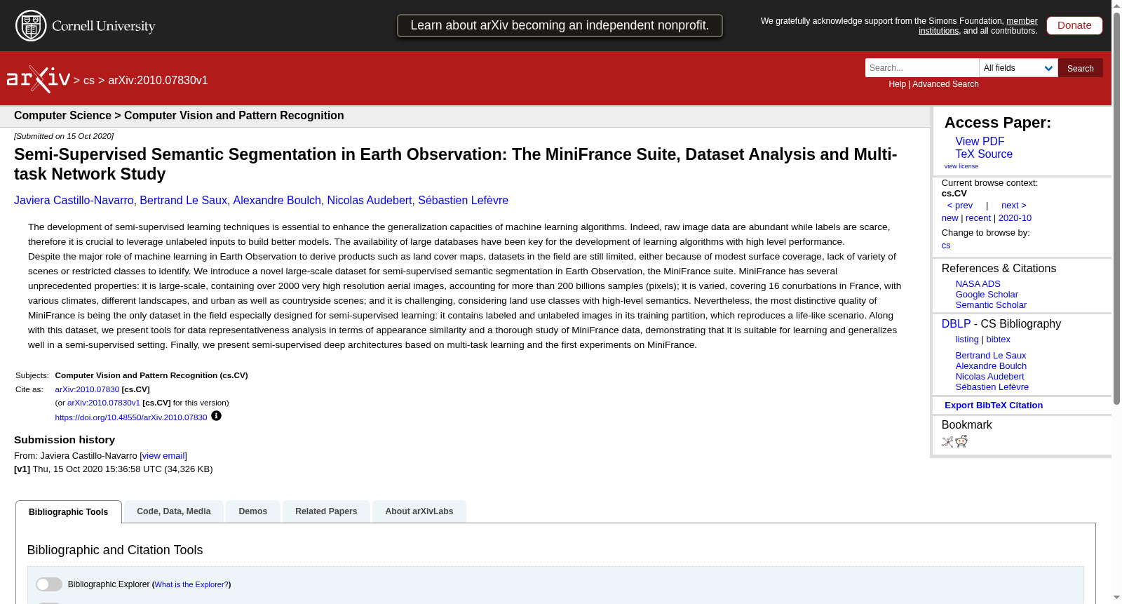
- 1Semi-Supervised Semantic Segmentation in Earth Observation: The MiniFrance Suite, Dataset Analysis and Multi-task Network Study法国国家地理和林业信息研究所 · 2020年


