太湖流域港口数据集(2015-2020年)
收藏国家地球系统科学数据中心2024-01-13 更新2024-03-04 收录
下载链接:
https://www.geodata.cn/data/datadetails.html?dataguid=28093154214540&docId=4114
下载链接
链接失效反馈官方服务:
资源简介:
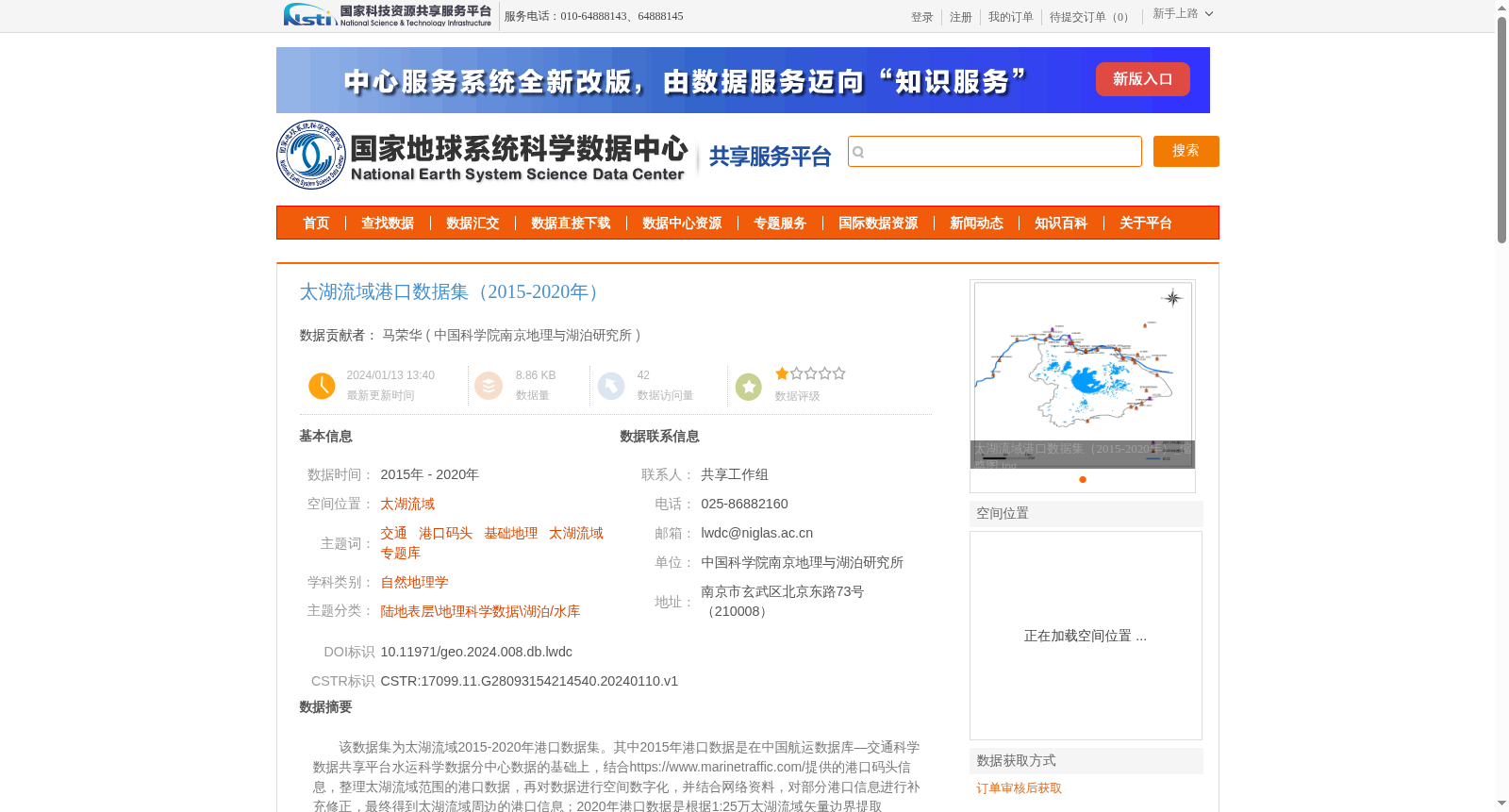
该数据集为太湖流域2015-2020年港口数据集。其中2015年港口数据是在中国航运数据库—交通科学数据共享平台水运科学数据分中心数据的基础上,结合https://www.marinetraffic.com/提供的港口码头信息,整理太湖流域范围的港口数据,再对数据进行空间数字化,并结合网络资料,对部分港口信息进行补充修正,最终得到太湖流域周边的港口信息;2020年港口数据是根据1:25万太湖流域矢量边界提取MarineTraffic平台上的全球港口数据集获得。包含了港口的名称、空间位置、所属省份、港口类型等信息。
数据集为2个shp格式的矢量数据,太湖流域港口信息.shp,太湖ports.shp。
This dataset is the port dataset for the Taihu Lake Basin covering the period 2015 to 2020.
For the 2015 port data: it was compiled based on data sourced from the China Shipping Database, which is hosted by the Water Transportation Science Data Sub-center of the Transportation Science Data Sharing Platform, combined with port and terminal information provided by https://www.marinetraffic.com/. Afterwards, the port data within the Taihu Lake Basin was spatially digitized, and partial port information was supplemented and corrected using online materials, finally obtaining the complete port information around the Taihu Lake Basin.
For the 2020 port data: it was acquired by extracting the global port dataset from the MarineTraffic platform using the 1:250,000-scale vector boundary of the Taihu Lake Basin.
The dataset contains attribute information including port name, spatial location, affiliated province, and port type.
The dataset includes two vector files in shp format: 太湖流域港口信息.shp and 太湖ports.shp.
提供机构:
中国科学院南京地理与湖泊研究所
创建时间:
2024-01-10
搜集汇总
数据集介绍
背景与挑战
背景概述
该数据集包含2015年至2020年太湖流域的港口信息,通过整合中国航运数据库和MarineTraffic平台的全球港口数据,结合空间数字化和网络资料补充修正,形成两个shp格式的矢量数据文件,详细记录了港口的名称、空间位置、所属省份和类型等信息。数据集适用于自然地理学和交通相关研究,需遵守严格的数据使用和引用规范。
以上内容由遇见数据集搜集并总结生成


