乌江流域地形数据集(2016)
收藏国家地球系统科学数据中心2022-06-10 更新2024-03-04 收录
下载链接:
https://www.geodata.cn/data/datadetails.html?dataguid=56753565620086&docId=8848
下载链接
链接失效反馈官方服务:
资源简介:
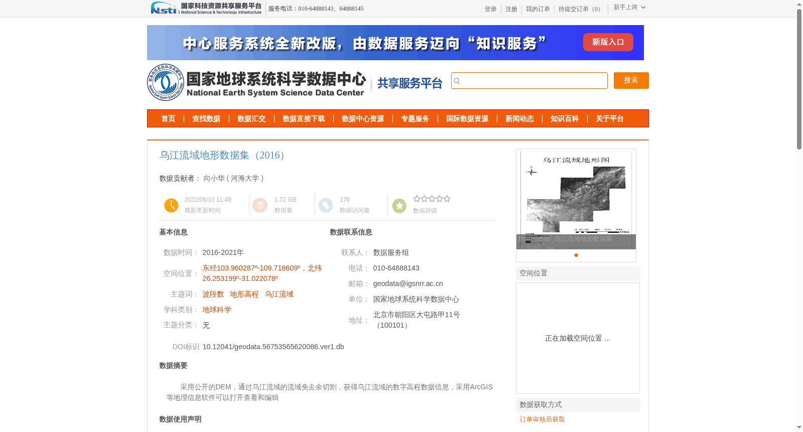
采用公开的DEM,通过乌江流域的流域免去余切割,获得乌江流域的数字高程数据信息,采用ArcGIS等地理信息软件可以打开查看和编辑
Utilizing publicly available DEM, the digital elevation data of the Wujiang River Basin was acquired by clipping the original DEM to retain only the area of the Wujiang River Basin and eliminating redundant regional data. This dataset can be opened, viewed and edited using geographic information software such as ArcGIS.
提供机构:
河海大学
创建时间:
2022-06-10
搜集汇总
数据集介绍
背景与挑战
背景概述
该数据集为2016-2021年的乌江流域地形数据,覆盖东经103.960287º-109.718609º、北纬26.253199º-31.022078º范围,数据量1.72 GB,基于30米分辨率的全球DEM数据通过水文分析提取生成,适用于地理信息系统的查看和编辑。
以上内容由遇见数据集搜集并总结生成


