喜马拉雅地区范围与界线地理信息数据(2025)
收藏国家青藏高原科学数据中心2025-08-28 更新2025-08-30 收录
下载链接:
https://data.tpdc.ac.cn/zh-hans/data/3858cb86-53a0-43eb-aebd-4d42528f56a4
下载链接
链接失效反馈官方服务:
资源简介:
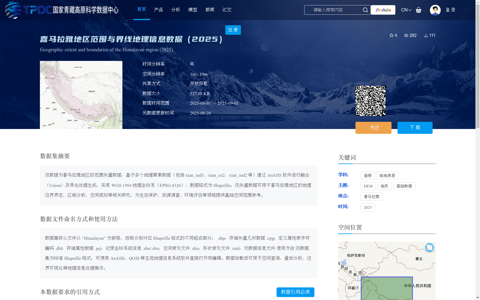
该数据为喜马拉雅地区的范围矢量数据,基于多个地理要素数据(包括 xian_ind3、xian_cn2、xian_ind2 等)通过 ArcGIS 软件进行融合(Union)及导出处理生成,采用 WGS 1984 地理坐标系(EPSG:4326),数据格式为 Shapefile。该矢量数据可用于喜马拉雅地区的地理边界界定、区域分析、空间规划等相关研究,为生态保护、资源调查、环境评估等领域提供基础空间范围参考。
This dataset is the range vector data for the Himalayan region. It is generated by processing multiple geographic feature datasets (including xian_ind3, xian_cn2, xian_ind2, etc.) through Union fusion and export operations using ArcGIS software. The dataset adopts the WGS 1984 geographic coordinate system (EPSG:4326) and is stored in Shapefile format. This vector data can be applied to relevant research such as geographic boundary delimitation, regional analysis and spatial planning in the Himalayan region, providing basic spatial scope references for fields including ecological conservation, resource surveys and environmental assessment.
提供机构:
宁理科,元慧慧,罗勇
创建时间:
2025-08-11
搜集汇总
数据集介绍
背景与挑战
背景概述
该数据集是2025年发布的喜马拉雅地区范围与界线地理信息数据,基于多个地理要素通过ArcGIS软件融合生成,采用WGS 1984坐标系和Shapefile格式,空间分辨率为1米至10米。数据可用于地理边界界定、区域分析和生态保护等研究,提供开放获取,并源自国家科技重大专项资助项目。
以上内容由遇见数据集搜集并总结生成


