2020年3个典型城市无人机倾斜相机摄影影像数据集
收藏地球大数据科学工程2024-03-04 收录
下载链接:
https://data.casearth.cn/sdo/detail/6544a0f2819aec1181258992
下载链接
链接失效反馈官方服务:
资源简介:
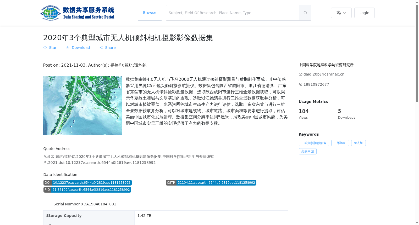
数据集由蝗4.0无人机与飞马2000无人机通过倾斜摄影测量与后期制作而成,其中传感器采用灵境C5五镜头倾斜摄影航摄仪。数据集包含陕西省咸阳市、浙江省德清县、广东省东莞市的无人机倾斜摄影测量数据,选取陕西咸阳市进行三维全景数据获取,可以揭示华夏故土疆域与文明演进的表现,选取浙江德清县进行三维全景数据获取并分析,可以对城市植被覆盖、水系河网等城市生态生产力进行评估,选取广东省东莞市进行三维全景数据获取并分析,可以对城市建筑物、城市道路、城市面积等要素进行提取,评估美丽中国城市化发展进程。数据集空间分辨率达到5厘米,展现美丽中国城市风貌,为美丽中国城市实景三维的实现提供了有力的数据支撑。
This dataset was collected and produced by Huang 4.0 UAV and Pegasus 2000 UAV via oblique photogrammetry and post-processing, with the Lingjing C5 five-lens oblique photogrammetric aerial camera as the onboard sensor. It encompasses UAV oblique photogrammetry data from three regions: Xianyang City in Shaanxi Province, Deqing County in Zhejiang Province, and Dongguan City in Guangdong Province. Xianyang City was selected for 3D panoramic data acquisition to reveal the territory and civilization evolution of the ancestral homeland of the Chinese nation. Deqing County was chosen for 3D panoramic data collection and analysis, enabling the evaluation of urban ecological productivity indicators such as urban vegetation cover, river systems and water networks. Dongguan City was selected for 3D panoramic data acquisition and analysis, which facilitates the extraction of key urban elements including buildings, roads and built-up areas, as well as the assessment of the urbanization development process under the Beautiful China initiative. With a spatial resolution of 5 cm, the dataset showcases the urban landscape of Beautiful China, providing robust data support for the realization of real-scene 3D modeling of Chinese cities under the Beautiful China strategy.
提供机构:
中国科学院地理科学与资源研究所
搜集汇总
数据集介绍
背景与挑战
背景概述
该数据集包含2020年陕西省咸阳市、浙江省德清县、广东省东莞市的无人机倾斜摄影测量数据,空间分辨率达5厘米,用于研究城市风貌、生态生产力及城市化进程。数据集由蝗4.0和飞马2000无人机搭载灵境C5五镜头倾斜摄影航摄仪采集,为美丽中国城市实景三维提供数据支撑。
以上内容由遇见数据集搜集并总结生成


