
EUREF Permanent GNSS Network
收藏re3data.org2024-05-31 收录
下载链接:
https://www.re3data.org/repository/r3d100011724
下载链接
链接失效反馈官方服务:
资源简介:
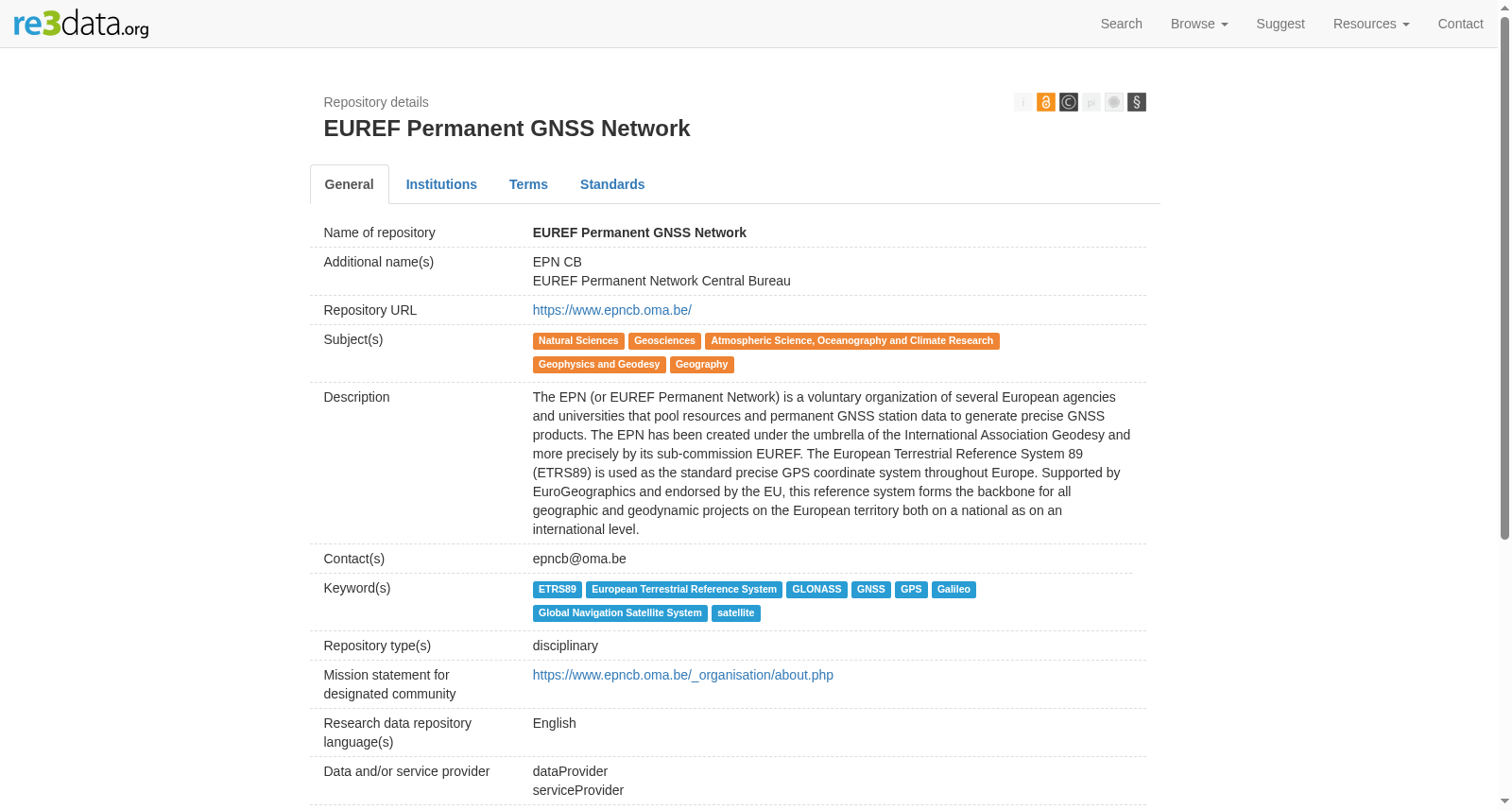
The EPN (or EUREF Permanent Network) is a voluntary organization of several European agencies and universities that pool resources and permanent GNSS station data to generate precise GNSS products. The EPN has been created under the umbrella of the International Association Geodesy and more precisely by its sub-commission EUREF. The European Terrestrial Reference System 89 (ETRS89) is used as the standard precise GPS coordinate system throughout Europe. Supported by EuroGeographics and endorsed by the EU, this reference system forms the backbone for all geographic and geodynamic projects on the European territory both on a national as on an international level.
欧洲永久网络(简称EPN,或EUREF永久网络)是由多个欧洲机构及大学自愿组成的组织,该组织整合资源并共享永久性GNSS(全球导航卫星系统)站点的数据,以生成精确的GNSS产品。EPN是在国际大地测量协会的庇护下,尤其是其下属的EUREF委员会的具体指导下成立的。在整个欧洲,欧洲大地测量参考系统89(ETRS89)被用作标准的精确GPS坐标系统。该参考系统得到EuroGeographics的支持,并得到欧盟的认可,构成了欧洲领土上所有地理和地球动力学项目的骨架,无论是在国家层面还是国际层面。
提供机构:
EPN CB搜集汇总
数据集介绍
背景与挑战
背景概述
EUREF Permanent GNSS Network(EPN)是一个由欧洲多个机构和大学自愿组成的网络,专注于收集永久GNSS站数据以生成精确的全球导航卫星系统产品。该数据集支持欧洲陆地参考系统ETRS89,作为欧洲标准坐标系统,被欧盟采纳并用于地理和地球动力学项目,覆盖30多个国家,数据开放访问但上传受限。
以上内容由遇见数据集搜集并总结生成


