2010年辽河口国家级自然保护区30 m分辨率湿地时空演变数据集
收藏国家地球系统科学数据中心2024-03-14 更新2024-04-21 收录
下载链接:
https://www.geodata.cn/data/datadetails.html?dataguid=230408797246537&docId=3862
下载链接
链接失效反馈官方服务:
资源简介:
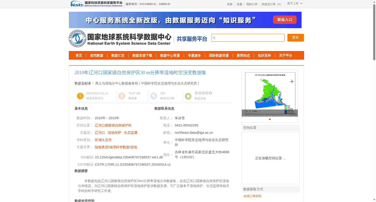
本数据包括辽河口国家级自然保护区30m分辨率湿地分布数据集,反应辽河口国家级自然保护区湿地分布情况,为辽河口国家级自然保护区湿地保护提供数据支撑。可广泛服务于湿地保护、生态监测等相关学科的科学研究工作者。
This dataset is the 30-meter spatial resolution wetland distribution dataset of the Liaohe Estuary National Nature Reserve. It reflects the wetland distribution status within the reserve and provides data support for wetland conservation efforts in the Liaohe Estuary National Nature Reserve. It can be widely utilized by scientific researchers engaged in related disciplines such as wetland conservation and ecological monitoring.
提供机构:
中国科学院东北地理与农业生态研究所
创建时间:
2024-03-14
搜集汇总
数据集介绍
背景与挑战
背景概述
该数据集提供了2010年辽河口国家级自然保护区的30米分辨率湿地分布信息,基于Landsat遥感影像和实地数据,采用高精度分类方法生成,适用于湿地保护和生态监测研究。
以上内容由遇见数据集搜集并总结生成


