
SEVIR (Storm EVent ImagRy)
收藏OpenDataLab2026-05-24 更新2024-05-09 收录
下载链接:
https://opendatalab.org.cn/OpenScienceLab/SEVIR
下载链接
链接失效反馈官方服务:
资源简介:
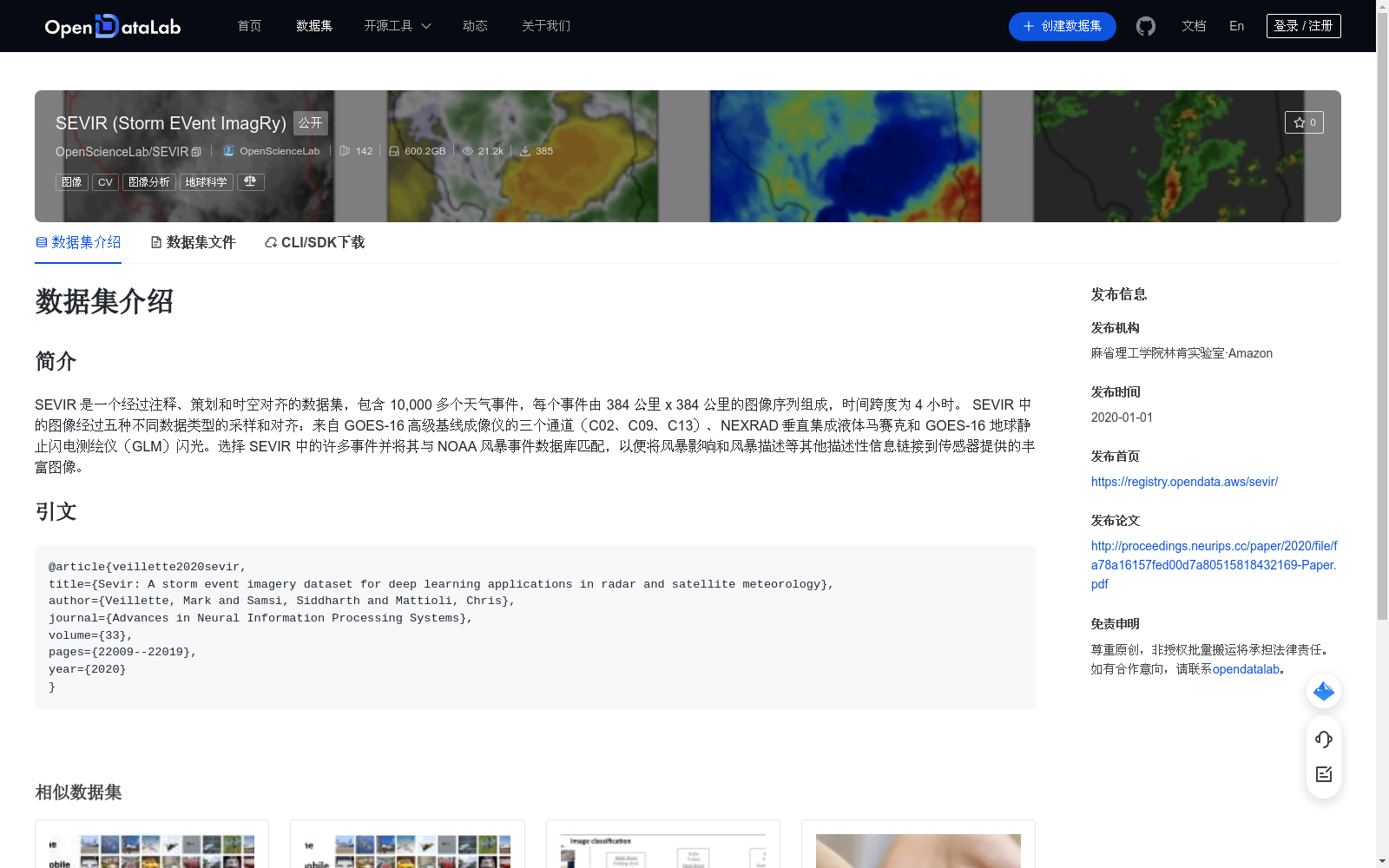
SEVIR 是一个经过注释、策划和时空对齐的数据集,包含 10,000 多个天气事件,每个事件由 384 公里 x 384 公里的图像序列组成,时间跨度为 4 小时。 SEVIR 中的图像经过五种不同数据类型的采样和对齐:来自 GOES-16 高级基线成像仪的三个通道(C02、C09、C13)、NEXRAD 垂直集成液体马赛克和 GOES-16 地球静止闪电测绘仪(GLM)闪光。选择 SEVIR 中的许多事件并将其与 NOAA 风暴事件数据库匹配,以便将风暴影响和风暴描述等其他描述性信息链接到传感器提供的丰富图像。
SEVIR is an annotated, curated, and spatiotemporally aligned dataset containing over 10,000 weather events. Each event comprises image sequences covering a 384 km × 384 km spatial area and spanning a 4-hour temporal duration. Images in SEVIR are sampled and aligned across five distinct data modalities: three channels (C02, C09, C13) from the GOES-16 Advanced Baseline Imager, NEXRAD vertically integrated liquid mosaics, and GOES-16 Geostationary Lightning Mapper (GLM) lightning flashes. A large number of events in SEVIR have been selected and matched against the NOAA Storm Events Database, to link additional descriptive information such as storm impacts and storm descriptions to the rich sensor-derived imagery.
提供机构:
OpenScienceLab
创建时间:
2022-08-16
搜集汇总
数据集介绍
背景与挑战
背景概述
SEVIR是一个用于深度学习的气象图像数据集,包含超过10,000个天气事件,每个事件提供384公里x384公里区域、4小时时间跨度的多源对齐图像序列,涵盖卫星和雷达数据。该数据集经过注释和策划,与NOAA风暴事件数据库匹配,链接了风暴描述信息,适用于气象分析和预测研究。
以上内容由遇见数据集搜集并总结生成



