中亚锡尔河流域水文观测资料(2021)
收藏国家青藏高原科学数据中心2023-10-18 更新2024-03-06 收录
下载链接:
https://data.tpdc.ac.cn/zh-hans/data/59f9c10c-3222-43ed-bf5e-516e5614ab19
下载链接
链接失效反馈官方服务:
资源简介:
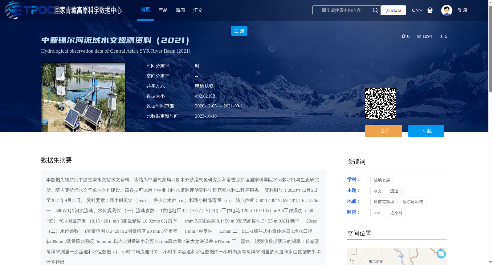
本数据为锡尔河中游苦盏水文站水文资料。该站为中国气象局乌鲁木齐沙漠气象研究所和塔吉克斯坦国家科学院水问题水能与生态研究所、塔吉克斯坦水文气象局合作建设。该数据可以用于中亚山区水资源评估等科学研究和水利工程等服务。
资料时段:2020年12月5日至2021年9月11日。
资料要素:逐小时流速(m/s)、逐小时水位(m)和逐小时降雨量(m)
站点位置:40°17′38″N, 69°40′18″E,320m
一、300W-QX河流流速、水位观测仪
(一)流速参数:
1供电电压 12(9~27)V(DC)
2工作电流 120(110~135)mA
3工作温度(-40 ~85) °C
4测量范围 (0.15 ~20)m/s
5测量精度 ±0.02m/s
6分辨率 1mm
7探测距离 0.1~50 m
8安装高度0.15~ 25 m
9采样频率 20sps
(二)水位参数:
1测量范围 0.5~20 m
2测量精度 ±3 mm
3分辨率 1 mm
4重复性 ±1mm
二、SL3-1翻斗式雨量传感器
1承水口径 ф200mm
2测量降水强度 4mm/min以内
3测量最小分度 0.1mm降水量
4最大允许误差 ±4%mm
三、流速、观测仪数据获取的频率:传感器每隔5S测量一次流速和水位数据
四、小时平均流速计算:小时平均流速和水位数据由一小时内所有每隔5S测量的流速和水位数据取平均计算得出
This dataset contains hydrological data from the Khujand Hydrological Station located in the middle reaches of the Syr Darya River. This station was jointly constructed by the Institute of Desert Meteorology, China Meteorological Administration (Urumqi), the Institute of Water Problems, Hydropower and Ecology of the National Academy of Sciences of Tajikistan, and the Tajik Hydrometeorological Service. This dataset is applicable to scientific research such as water resource assessment in the mountainous areas of Central Asia, as well as services for water conservancy projects.
Data Period: December 5, 2020 to September 11, 2021.
Data Elements: Hourly flow velocity (m/s), hourly water level (m), and hourly rainfall (mm)
Station Location: 40°17′38″N, 69°40′18″E, Elevation: 320 m
I. 300W-QX River Flow Velocity and Water Level Observation Instrument
(1) Flow Velocity Parameters:
1. Power Supply Voltage: 12 (9–27) V (DC)
2. Operating Current: 120 (110–135) mA
3. Operating Temperature: (-40 ~ 85) °C
4. Measurement Range: (0.15 ~ 20) m/s
5. Measurement Accuracy: ±0.02 m/s
6. Resolution: 1 mm
7. Detection Distance: 0.1–50 m
8. Installation Height: 0.15–25 m
9. Sampling Frequency: 20 sps
(2) Water Level Parameters:
1. Measurement Range: 0.5–20 m
2. Measurement Accuracy: ±3 mm
3. Resolution: 1 mm
4. Repeatability: ±1 mm
II. SL3-1 Tipping-Bucket Rain Gauge
1. Water Collection Caliber: φ200 mm
2. Measurable Precipitation Intensity: ≤4 mm/min
3. Minimum Precipitation Resolution: 0.1 mm
4. Maximum Allowable Error: ±4% mm
III. Data Acquisition Frequency of Flow Velocity and Water Level Observation Instrument: The sensor collects flow velocity and water level data every 5 seconds.
IV. Calculation of Hourly Average Flow Velocity and Water Level: The hourly average flow velocity and water level data are obtained by averaging all flow velocity and water level data measured at 5-second intervals within one hour.
提供机构:
霍文
创建时间:
2022-05-12
搜集汇总
数据集介绍
背景与挑战
背景概述
该数据集包含2020-2021年锡尔河流域苦盏水文站的逐小时水文观测数据,涵盖流速、水位和降雨量等要素,由中塔合作采集,适用于水资源评估等科研和工程应用。
以上内容由遇见数据集搜集并总结生成


