2017年三江源及其周边区域土壤理化性质数据集
收藏Mendeley Data2024-06-07 更新2024-06-28 收录
下载链接:
https://www.scidb.cn/en/detail?dataSetId=2207ba2efedb46ec96352a2f6b3b5b55
下载链接
链接失效反馈官方服务:
资源简介:
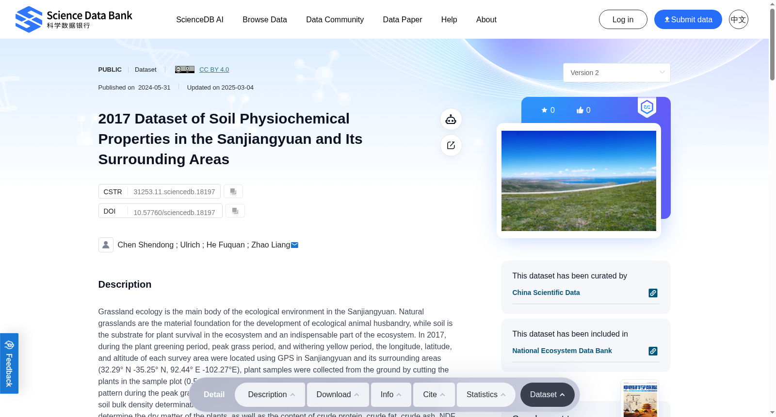
Grassland ecology is the main body of the ecological environment in the Sanjiangyuan. Natural grasslands are the material foundation for the development of ecological animal husbandry, while soil is the substrate for plant survival in the ecosystem and an indispensable part of the ecosystem. In 2017, during the plant greening period, peak grass period, and withering yellow period, the longitude, latitude, and altitude of each survey area were located using GPS in Sanjiangyuan and its surrounding areas (32.29° N -35.25° N, 92.44° E -102.27°E), plant samples were collected from the ground by cutting the plants in the sample plot (0.5m×0.5m). And soil samples were collected using a soil drill in a zigzag pattern during the peak grass period, the undisturbed samples collected by the ring knife were used for soil bulk density determination. After air drying, the plant and soil samples are crushed and ground to determine the dry matter of the plants, as well as the content of crude protein, crude fat, crude ash, NDF, ADF, and ADL in the dry matter. And the soil pH, the content of soil organic carbon, soil inorganic carbon, soil total nitrogen, soil inorganic nitrogen, soil total phosphorus, and soil microbial biomass carbon and nitrogen were also determined. Quality control is carried out through methods such as measuring standard samples, parallel samples, and sample sampling. By conducting vegetation and soil investigation and analysis on the Three Rivers Source and its surrounding areas, we aim to provide support for the establishment of a sound soil and vegetation database on the Qinghai Tibet Plateau, as well as ground observation data for remote sensing inversion and model validation.
草原生态是三江源地区生态环境的主体。天然草原是生态畜牧业发展的物质基础,而土壤既是生态系统中植物赖以生存的基质,也是生态系统不可或缺的组成部分。2017年,在植物返青期、牧草盛期与枯黄期,研究团队采用全球定位系统(GPS)对三江源及其周边区域(北纬32.29°~35.25°,东经92.44°~102.27°)内各调查样区的经纬度与海拔进行定位,并在0.5m×0.5m的样方内刈割采集地上植物样品。在牧草盛期,研究人员采用土钻以之字形采样法采集土壤样品,并使用环刀采集原状土壤样品用于测定土壤容重。将植物与土壤样品风干后进行粉碎研磨,以此测定植物干物质含量,以及干物质中粗蛋白质、粗脂肪、粗灰分、中性洗涤纤维(NDF)、酸性洗涤纤维(ADF)和酸性洗涤木质素(ADL)的含量;同时测定土壤pH值、土壤有机碳、土壤无机碳、土壤全氮、土壤无机氮、土壤全磷含量,以及土壤微生物量碳与微生物量氮含量。本数据集通过测定标准样品、平行样品及重复采样等方式开展质量控制。通过对三江源及其周边区域开展植被与土壤调查分析,本数据集旨在为青藏高原完整的土壤与植被数据库构建提供支撑,同时为遥感反演与模型验证提供实地观测数据。
创建时间:
2024-06-03
搜集汇总
数据集介绍
背景与挑战
背景概述
该数据集是2017年在三江源及其周边区域(青藏高原)采集的土壤和植物理化性质数据,涵盖土壤pH、有机碳、氮磷含量及植物营养成分等关键指标,旨在支持青藏高原生态环境研究和遥感模型验证。
以上内容由遇见数据集搜集并总结生成


