中国土壤水分数据集(2002-2018)
收藏国家青藏高原科学数据中心2021-09-24 更新2024-03-01 收录
下载链接:
https://data.tpdc.ac.cn/zh-hans/data/3c4feb37-7f5b-4aa6-b906-3b23dd4c520e
下载链接
链接失效反馈官方服务:
资源简介:
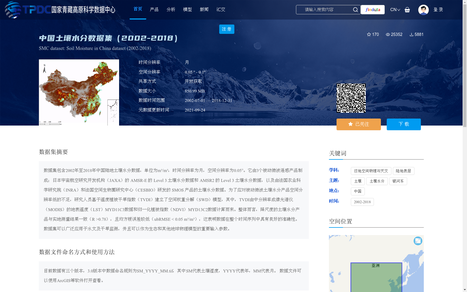
数据集包含2002年至2018年中国陆地土壤水分数据,单位为m³/m³,时间分辨率为月,空间分辨率为0.05°。它由3个被动微波遥感产品制成:日本宇宙航空研究开发机构(JAXA)的 AMSR-E 的 Level 3 土壤水分数据和 AMSR2 的 Level 3 土壤水分数据,以及由法国农业科学研究院(INRA)和法国空间生物圈研究中心(CESBIO)研发的 SMOS 产品的土壤水分数据。为了应对被动微波土壤水分产品空间分辨率低的不足,研究人员基于温度植被干旱指数(TVDI)建立了空间权重分解(SWD)模型,其中,TVDI由中分辨率成像光谱仪(MODIS)的地表温度(LST)MYD11C3数据和归一化植被指数(NDVI)MYD13C2数据计算而来。整体而言,降尺度的土壤水分产品与实地测量结果一致(R >0.78),且均方根误差较低(ubRMSE < 0.05 m³/m³),这表明数据在整个时间序列中具有良好的准确性。数据集可以广泛应用于水文及干旱监测,并且可以作为生态和其他地球物理模型的重要输入参数。
This dataset contains terrestrial soil moisture data across China from 2002 to 2018, with a unit of m³/m³, a monthly temporal resolution, and a spatial resolution of 0.05°. It is developed from three passive microwave remote sensing products: the Level 3 soil moisture data of AMSR-E and AMSR2 from the Japan Aerospace Exploration Agency (JAXA), as well as the soil moisture data of the SMOS product developed by the French National Institute for Agricultural Research (INRA) and the French Space Biosphere Research Center (CESBIO). To address the limitation of low spatial resolution of passive microwave soil moisture products, researchers established a Spatial Weight Decomposition (SWD) model based on the Temperature Vegetation Dryness Index (TVDI), which was calculated using the Moderate Resolution Imaging Spectroradiometer (MODIS) surface temperature (LST) product MYD11C3 and normalized difference vegetation index (NDVI) product MYD13C2. Overall, the downscaled soil moisture products are consistent with in-situ measurements (R > 0.78) with a low unbiased root mean square error (ubRMSE < 0.05 m³/m³), demonstrating that the dataset exhibits excellent accuracy throughout the entire time series. This dataset can be widely used in hydrological and drought monitoring, and act as a critical input parameter for ecological and other geophysical models.
提供机构:
毛克彪
创建时间:
2021-07-09
搜集汇总
数据集介绍
背景与挑战
背景概述
该数据集提供了2002年至2018年中国陆地月尺度土壤水分数据,空间分辨率为0.05°至0.1°,基于AMSR-E、AMSR2和SMOS等被动微波遥感产品,并利用温度植被干旱指数(TVDI)进行降尺度处理以提高精度。数据准确性高(R > 0.78, ubRMSE < 0.05 m³/m³),适用于水文监测、干旱评估及生态模型输入,以TIFF格式存储并开放获取。
以上内容由遇见数据集搜集并总结生成


