青藏高原长江源20m分辨率归一化燃烧比指数数据集(2019-2024)
收藏国家青藏高原科学数据中心2025-08-27 更新2025-09-20 收录
下载链接:
https://data.tpdc.ac.cn/zh-hans/data/21c40efa-f3d6-42b3-af27-40709969615e
下载链接
链接失效反馈官方服务:
资源简介:
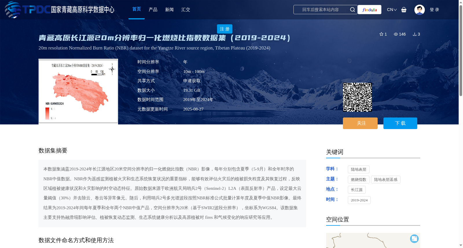
本数据集涵盖2019-2024年长江源地区20米空间分辨率的归一化燃烧比指数(NBR)影像,每年分别包含夏季(5-9月)和全年时序的NBR中值数据。NBR作为遥感监测植被火灾和生态系统恢复状况的重要指标,能够有效评估火灾后的植被损失程度及其恢复过程,反映区域植被健康状况和火灾影响的时空动态特征。原始数据来源于欧洲航天局哨兵2号(Sentinel-2)L2A(表面反射率)产品,设定最大云量阈值(30%)并去除云、卷云等异常像元。随后,利用哨兵2号多光谱波段按照NBR标准公式批量计算年度及夏季中值NBR影像。最终结果为2019-2024年间每年夏季和全年两个NBR中值产品,空间分辨率为20米(基于SWIR2波段分辨率),坐标系为WGS84。该数据集主要支持热融滑塌影响评估、植被恢复动态监测、生态系统健康分析以及高原植被对 fires 和气候变化的响应研究等应用。
This dataset contains Normalized Burn Ratio (NBR) imagery with 20-meter spatial resolution covering the Yangtze River Source Region from 2019 to 2024. For each year, the dataset includes median NBR data for two periods: summer (May–September) and the full calendar year. As a key indicator for remote sensing of vegetation fires and monitoring ecosystem recovery, NBR can effectively evaluate post-fire vegetation loss and its recovery trajectory, as well as reveal regional vegetation health conditions and the spatiotemporal dynamic patterns of fire impacts. The raw data is derived from the European Space Agency (ESA) Sentinel-2 L2A (surface reflectance) products; a maximum cloud cover threshold of 30% was applied to exclude abnormal pixels such as clouds and cirrus clouds. Subsequently, annual and summer median NBR imagery were batch-computed using Sentinel-2 multispectral bands per the standard NBR formula. The final dataset provides two median NBR products per year (summer and full calendar year) spanning 2019–2024, with a spatial resolution of 20 meters (consistent with the resolution of the SWIR2 band) and a WGS84 coordinate system. This dataset primarily supports applications including impact assessment of thermokarst slumps, dynamic monitoring of vegetation recovery, ecosystem health analysis, and research on the responses of plateau vegetation to fires and climate change.
提供机构:
曾韬睿,韩风雷,喻文兵
创建时间:
2025-08-27
搜集汇总
数据集介绍
背景与挑战
背景概述
该数据集提供了2019年至2024年青藏高原长江源地区20米空间分辨率的归一化燃烧比指数(NBR)影像,每年包含夏季和全年时序的中值数据,用于监测植被火灾影响和生态系统恢复。数据基于Sentinel-2 L2A产品计算,支持热融滑塌评估、植被健康分析等研究,总大小为19.31 GB,需通过申请获取。
以上内容由遇见数据集搜集并总结生成


