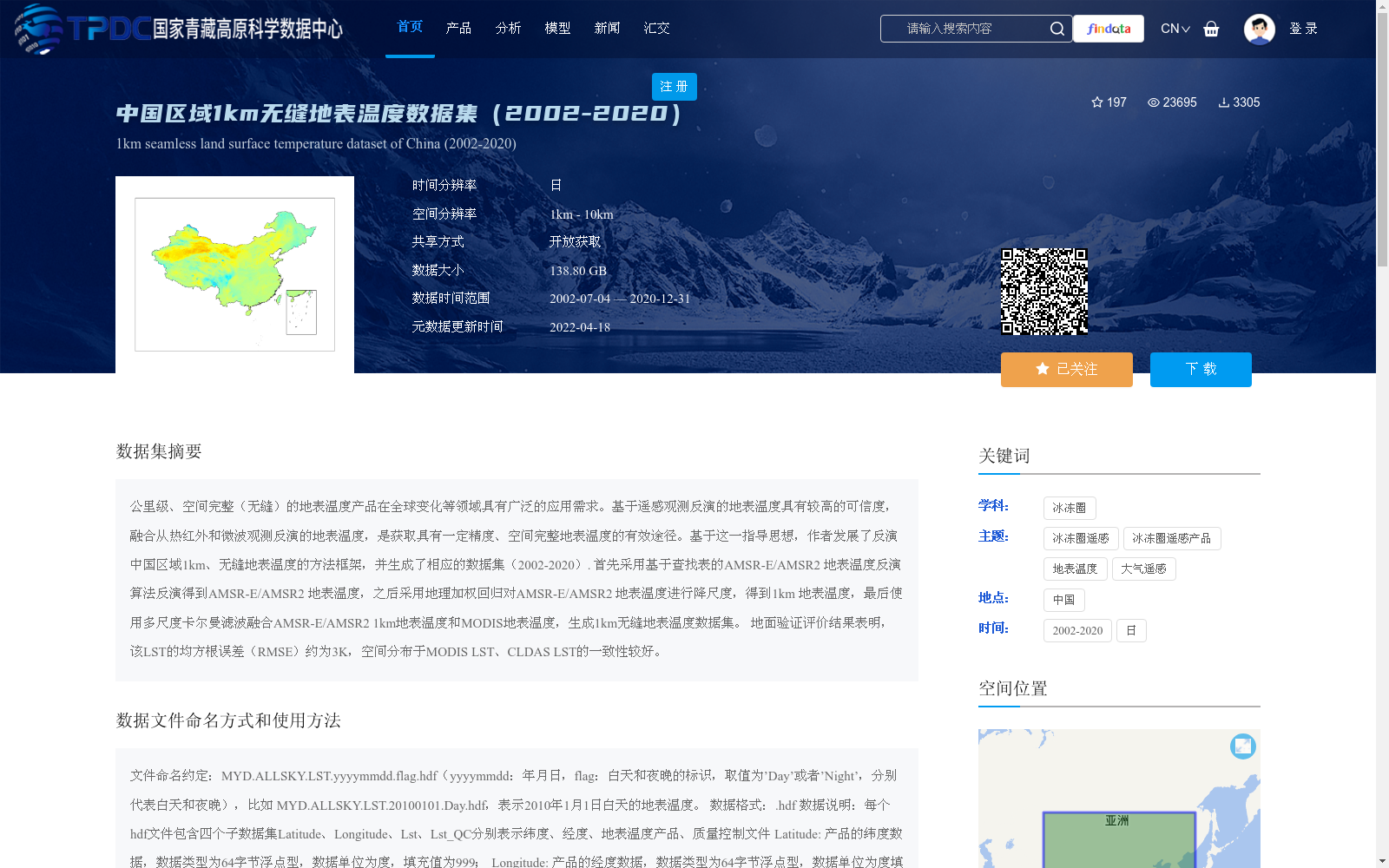
中国区域1km无缝地表温度数据集(2002-2020)
收藏国家青藏高原科学数据中心2022-04-18 更新2024-04-26 收录
下载链接:
https://data.tpdc.ac.cn/zh-hans/data/7e5333df-0208-4c4e-ae7e-16dcd29e4aa7
下载链接
链接失效反馈官方服务:
资源简介:
公里级、空间完整(无缝)的地表温度产品在全球变化等领域具有广泛的应用需求。基于遥感观测反演的地表温度具有较高的可信度,融合从热红外和微波观测反演的地表温度,是获取具有一定精度、空间完整地表温度的有效途径。基于这一指导思想,作者发展了反演中国区域1km、无缝地表温度的方法框架,并生成了相应的数据集(2002-2020).
首先采用基于查找表的AMSR-E/AMSR2 地表温度反演算法反演得到AMSR-E/AMSR2 地表温度,之后采用地理加权回归对AMSR-E/AMSR2 地表温度进行降尺度,得到1km 地表温度,最后使用多尺度卡尔曼滤波融合AMSR-E/AMSR2 1km地表温度和MODIS地表温度,生成1km无缝地表温度数据集。
地面验证评价结果表明,该LST的均方根误差(RMSE)约为3K,空间分布于MODIS LST、CLDAS LST的一致性较好。
Kilometer-scale, spatially seamless land surface temperature (LST) products have extensive application demands in fields such as global change. Remote sensing-retrieved LSTs have high reliability, and fusing LSTs retrieved from thermal infrared and microwave observations is an effective approach to obtain spatially seamless LST products with satisfactory accuracy. Guided by this principle, the authors developed a methodological framework for retrieving 1-km seamless LST over China and generated the corresponding dataset spanning 2002 to 2020.
First, AMSR-E/AMSR2 LSTs were retrieved using a look-up table (LUT)-based retrieval algorithm. Subsequently, geographically weighted regression (GWR) was adopted to downscale the AMSR-E/AMSR2 LSTs to 1-km resolution. Finally, multi-scale Kalman filtering was used to fuse the 1-km AMSR-E/AMSR2 LSTs and MODIS LSTs, generating the 1-km seamless LST dataset.
Ground validation and evaluation results show that the root mean square error (RMSE) of this LST product is approximately 3 K, and its spatial distribution has good consistency with both MODIS LST and CLDAS LST.
提供机构:
程洁,董胜越,施建成
创建时间:
2021-08-23
搜集汇总
数据集介绍
背景与挑战
背景概述
该数据集是一个覆盖中国区域、时间跨度为2002年至2020年的日值地表温度产品,空间分辨率为1公里,具有无缝覆盖的特点。它通过融合热红外和微波遥感数据,采用降尺度和多尺度卡尔曼滤波方法生成,精度较高(均方根误差约3K),适用于全球变化研究等领域。数据以HDF格式提供,总大小为138.80 GB,可开放获取。
以上内容由遇见数据集搜集并总结生成


