
SilviLaser 2021 Benchmark Dataset - Terrestrial Challenge
收藏Mendeley Data2024-01-31 更新2024-06-27 收录
下载链接:
https://researchdata.tuwien.at/doi/10.48436/kndye-egv02
下载链接
链接失效反馈官方服务:
资源简介:
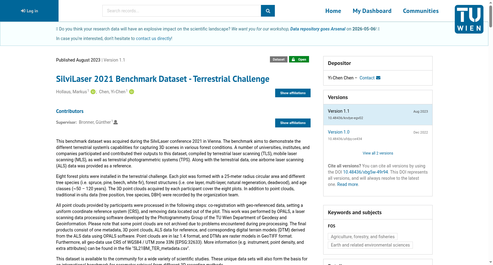
This benchmark dataset was acquired during the SilviLaser conference 2021 in Vienna. The benchmark aims to demonstrate the different terrestrial system's capabilities for capturing 3D scenes in various forest conditions. A number of universities, institutes, and companies participated and contributed their outputs to this dataset, compiled by terrestrial laser scanning (TLS), mobile laser scanning (MLS), as well as terrestrial photogrammetric systems (TPS). Along with the terrestrial data, one airborne laser scanning (ALS) data was provided as a reference. Eight forest plots were installed in the terrestrial challenge. Each plot was formed with a 25-meter radius circular area and different tree species (i.e. spruce, pine, beech, white fir), forest structures (i.e. one layer, multi-layer, natural regeneration, deadwood), and age classes (~50 – 120 years). The 3D point clouds acquired by each participant cover the eight plots. In addition to point clouds, traditional in-situ data (tree position, tree species, DBH) were recorded by the organization team. All point clouds provided by participants were processed in the following steps: co-registration with geo-referenced data, setting a uniform coordinate reference system (CRS), and removing data located out of the plot. This work was performed by OPALS, a laser scanning data processing software developed by the Photogrammetry Group of the TU Wien Department of Geodesy and Geoinformation. Please note that some point clouds are not archived due to problems encountered during pre-processing. The final products consist of one metadata, 3D point clouds, ALS data for reference, and corresponding digital terrain models (DTM) derived from the ALS data using OPALS software. Point clouds are in laz 1.4 format, and DTMs are raster models in GeoTIFF format. Furthermore, all geo-data use CRS of WGS84 / UTM zone 33N (EPSG:32633). More information (e.g. instrument, point density, and extra attributes) can be found in the file "SL21BM_TER_metadata.csv". This dataset is available to the community for a wide variety of scientific studies. These unique data sets will also form the basis for an international benchmark for parameter retrieval from different 3D recording methods. Acknowledgements This dataset was contributed by the universities/institutes/companies (alphabetical order): Czech University of Life Sciences Prague Forest Design Green Valley International RIEGL Silva Tarouca Research Institute Swiss Federal Institute for Forest, Snow and Landscape Research Umweltdata GmbH University of Natural Resources and Life Sciences Wageningen University & Research Notes In terms of in-situ data, please contact Markus Hollaus for details. To perform a bulk download, please use this file to get the URL list. Changelog v1.0 First release v1.1 Fix the misalignment issue for plot D
本基准数据集采集于2021年在维也纳举办的SilviLaser会议。该基准数据集旨在展示不同地面系统在各类森林环境下采集三维场景的能力。多家高校、科研机构及企业参与了本次任务,贡献了各自的采集成果,这些成果由地面激光扫描(terrestrial laser scanning, TLS)、移动激光扫描(mobile laser scanning, MLS)以及地面摄影测量系统(terrestrial photogrammetric systems, TPS)生成。除地面采集数据外,还提供了一套机载激光扫描(airborne laser scanning, ALS)数据作为参考基准。
地面挑战赛共设置8个森林样地,每个样地为半径25米的圆形区域,涵盖不同树种(如云杉、松树、山毛榉、白冷杉)、森林结构(如单层林、多层林、天然更新林、枯立木林)以及林龄等级(约50至120年)。每位参与者采集的三维点云均覆盖这8个样地。
除点云数据外,组织团队还记录了传统野外实测数据,包括树木位置、树种以及胸径(DBH)。所有参与者提交的点云均经过以下标准化处理:与地理参考数据进行配准、统一设置坐标参考系统(coordinate reference system, CRS)、移除样地范围外的冗余数据。本次处理工作由OPALS完成,该软件由维也纳工业大学(TU Wien)大地测量与地理信息系摄影测量组开发。
请注意,部分点云因预处理阶段遇到问题未被归档。最终数据集包含1份元数据、三维点云、作为参考的ALS数据,以及通过OPALS软件从ALS数据衍生得到的对应数字地形模型(digital terrain models, DTM)。点云文件采用LAZ 1.4格式,DTM为GeoTIFF格式的栅格模型。所有地理数据均使用WGS84 / UTM 33N坐标系(EPSG:32633)。
更多信息(如仪器参数、点云密度及额外属性)可查阅文件"SL21BM_TER_metadata.csv"。本数据集面向科研社区开放,可用于各类科学研究。这批独特的数据集同时也将作为国际基准,用于评估不同三维采集方法的参数反演性能。
致谢
本数据集由以下高校/机构/企业按字母顺序贡献:布拉格生命科学大学、Forest Design Green Valley International、RIEGL、Silva Tarouca 研究所、瑞士联邦森林、雪与景观研究所、Umweltdata GmbH、自然资源与生命科学大学、瓦赫宁根大学及研究中心。
备注
关于野外实测数据的详细信息,请联系Markus Hollaus。如需批量下载,请使用该文件获取URL列表。
更新日志
v1.0 首次发布
v1.1 修复样地D的配准偏差问题
创建时间:
2024-01-31
搜集汇总
数据集介绍
背景与挑战
背景概述
SilviLaser 2021基准数据集是一个包含多种森林条件下3D点云数据的集合,旨在比较不同地面系统的捕获能力。数据集由多个机构合作采集,经过标准化处理,适用于科学研究和参数提取基准测试。
以上内容由遇见数据集搜集并总结生成



