巢湖流域卫星遥感影像数据集(2013-2015年)
收藏国家地球系统科学数据中心2020-07-16 更新2024-04-21 收录
下载链接:
https://www.geodata.cn/data/datadetails.html?dataguid=155410389728304&docId=12521
下载链接
链接失效反馈官方服务:
资源简介:
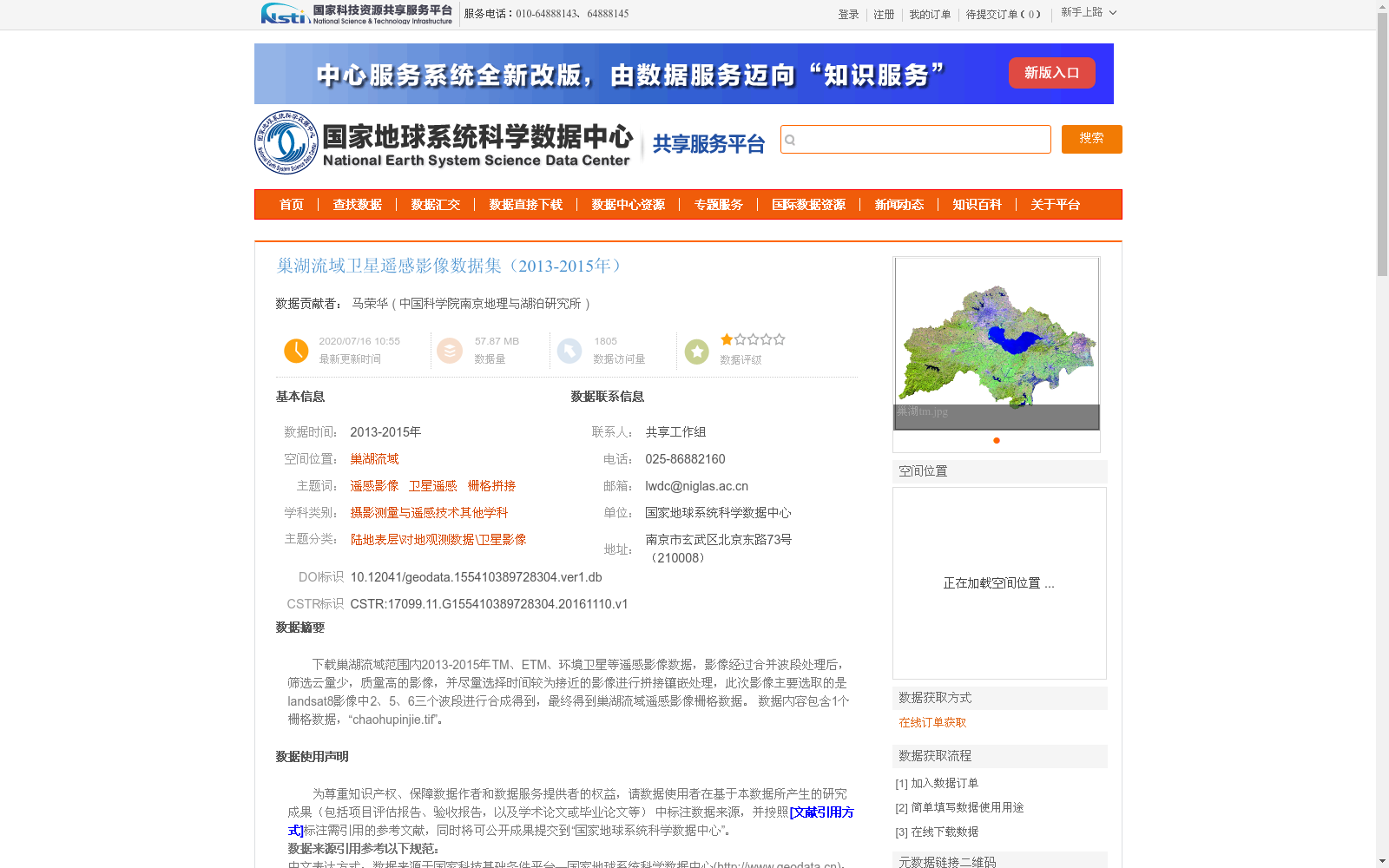
下载巢湖流域范围内2013-2015年TM、ETM、环境卫星等遥感影像数据,影像经过合并波段处理后,筛选云量少,质量高的影像,并尽量选择时间较为接近的影像进行拼接镶嵌处理,此次影像主要选取的是landsat8影像中2、5、6三个波段进行合成得到,最终得到巢湖流域遥感影像栅格数据。
数据内容包含1个栅格数据,“chaohupinjie.tif”。
Remote sensing image data including TM, ETM, and Environmental Satellite imagery within the Chaohu Lake Basin from 2013 to 2015 were downloaded. After band merging processing, images with low cloud cover and high quality were screened, and images with relatively close acquisition times were selected as much as possible for mosaicking. For this dataset, three bands (Band 2, Band 5, and Band 6) from Landsat 8 images were selected for compositing, ultimately generating the remote sensing raster data of the Chaohu Lake Basin. The dataset contains one raster file named "chaohupinjie.tif".
提供机构:
中国科学院南京地理与湖泊研究所
创建时间:
2016-11-10
搜集汇总
数据集介绍
背景与挑战
背景概述
该数据集是巢湖流域2013-2015年的卫星遥感影像栅格数据,来源于Landsat8、Landsat7和环境卫星等多源遥感影像,经过波段合成、筛选和拼接处理生成,主要用于地理观测和遥感分析。数据集包含一个TIFF格式文件,数据量较小(57.87 MB),采用WGS84坐标系,强调影像质量(如低云量和高清晰度),适用于科学研究。
以上内容由遇见数据集搜集并总结生成


