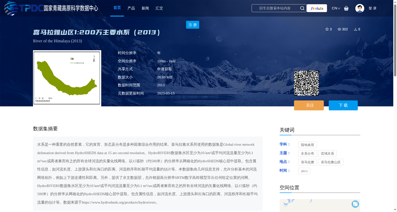
喜马拉雅山区1:200万主要水系(2013)
收藏资源简介:
水系是一种重要的自然要素,它的发育、形态及分布是多种因素综合作用的结果。喜马拉雅水系所使用的数据集是Global river network delineation derived from HydroSHEDS data at 15 arc-second resolution。HydroRIVERS数据集水区至少为10 km²或平均河流流量至少为0.1 m³/sec或两者兼而有之的所有全球河流的矢量化线网络。以15弧秒(约500米)的分辨率从网格化的HydroSHEDS核心层中提取。包含属性信息,如河流长度、上游源头和出海口的距离、河流秩序和长期平均流量的估计等。本数据集由几何信息支持,允许分析基本的河流网络拓扑,例如上下游连通性和距离。另外,提供了水文数据层,允许根据高分辨率SRTM数字高程模型导出任何给定位置的河网。HydroRIVERS数据集水区至少为10 km²或平均河流流量至少为0.1 m³/sec或两者兼而有之的所有全球河流的矢量化线网络。以15弧秒(约500米)的分辨率从网格化的HydroSHEDS核心层中提取。包含属性信息,如河流长度、上游源头和出海口的距离、河流秩序和长期平均流量的估计等。数据来源于https://www.hydrosheds.org/products/hydrorivers。
River systems are critical natural features, whose development, morphology and distribution are governed by the combined effects of multiple factors. The dataset employed for the Himalayan river systems is the Global River Network Delineation derived from HydroSHEDS data at 15 arc-second resolution. The HydroRIVERS dataset is a vectorized line network encompassing all global rivers that satisfy at least one of the following criteria: catchment area of no less than 10 km², average river discharge of no less than 0.1 m³/sec, or both. It is extracted from the gridded HydroSHEDS core layers at a resolution of 15 arc-seconds (approximately 500 meters). The dataset contains attribute information including river length, distances between upstream sources and outlets, river order, and estimates of long-term average discharge, among others. This dataset is underpinned by geometric data, enabling analysis of fundamental river network topology such as upstream-downstream connectivity and distances. Additionally, hydrological data layers are provided, allowing the derivation of river networks at any given location based on the high-resolution SRTM digital elevation model. The HydroRIVERS dataset is a vectorized line network encompassing all global rivers that satisfy at least one of the following criteria: catchment area of no less than 10 km², average river discharge of no less than 0.1 m³/sec, or both. It is extracted from the gridded HydroSHEDS core layers at a resolution of 15 arc-seconds (approximately 500 meters). The dataset contains attribute information including river length, distances between upstream sources and outlets, river order, and estimates of long-term average discharge, among others. The dataset is sourced from https://www.hydrosheds.org/products/hydrorivers.